Summary
The ideal streamflow range for this river is between 1,000 and 3,000 cubic feet per second (cfs) for an enjoyable and safe experience.
This section of the Whitewater River is rated as Class III-IV, meaning that it features moderate to difficult rapids with high waves, steep drops, and obstacles that require technical river skills. The total segment mileage of this section is approximately 10 miles, running from the Goat Rocks Wilderness boundary to the confluence with Muddy Fork Cowlitz River.
Some of the specific rapids and obstacles on this run include Roughhouse Falls, a 15-foot drop that requires precise navigation, and Corkscrew, a rapid with a sharp turn and large waves. Other notable rapids include The Slot, The Squeeze, and The Boulders.
In terms of regulations, all visitors to the area must obtain a wilderness permit from the U.S. Forest Service. In addition, visitors should be aware of Leave No Trace principles and be prepared to pack out all trash and waste. Finally, visitors should be respectful of the natural environment and avoid damaging vegetation or disturbing wildlife.
°F
°F
mph
Wind
%
Humidity
15-Day Weather Outlook
River Run Details
| Last Updated | 2026-02-07 |
| River Levels | 2230 cfs (2.36 ft) |
| Percent of Normal | 81% |
| Status | |
| Class Level | iii-iv |
| Elevation | ft |
| Streamflow Discharge | cfs |
| Gauge Height | ft |
| Reporting Streamgage | USGS 14226500 |
5-Day Hourly Forecast Detail
Nearby Streamflow Levels
 Cowlitz River At Packwood
|
1330cfs |
 Cispus River Ab Yellowjacket Creek Near Randle
|
808cfs |
 Cowlitz River At Randle
|
1800cfs |
 Nisqually River Near National
|
408cfs |
 Puyallup River Near Electron
|
212cfs |
 Mineral Creek Near Mineral
|
263cfs |
Area Campgrounds
River Runs
-
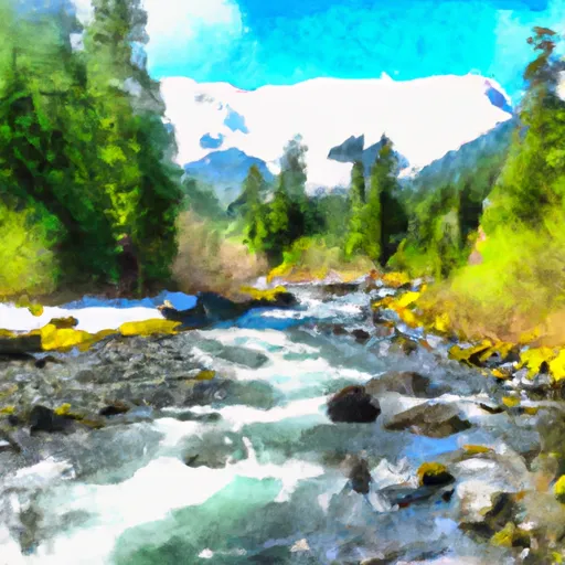 Goat Rocks Wilderness Boundary To Confluence With Muddy Fork Cowlitz River
-
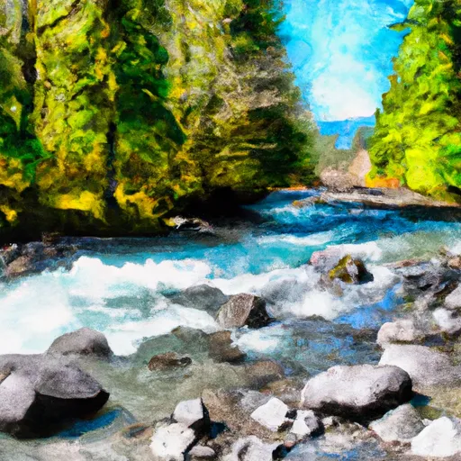 Mt. Ranier Np/Gifford Pinchot Nf Boundary To Confluence With Clear Fork Cowlitz River
-
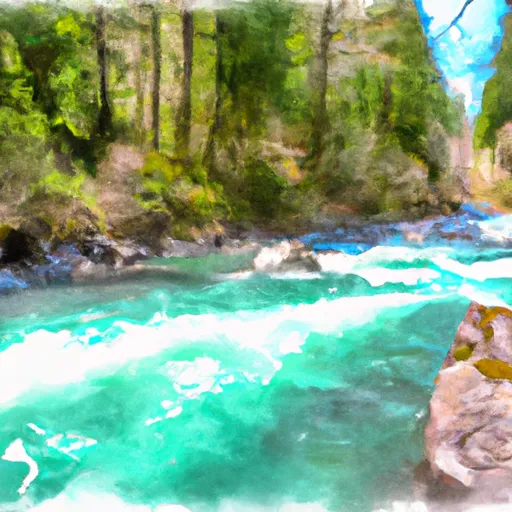 Tatoosh Wilderness Boundary To Confluence With Clear Fork Cowlitz River
-
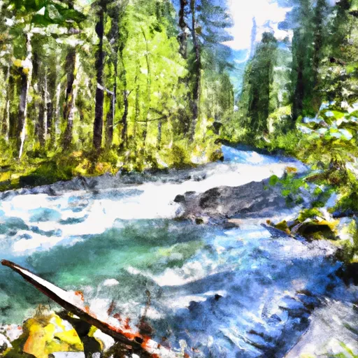 Gifford Pinchot Nf Boundary To Tatoosh Wilderness Boundary
-
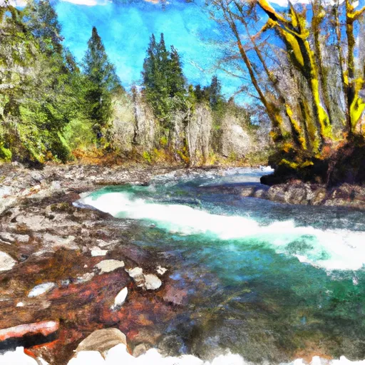 Junction Of Muddy And Clear Forks Cowlitz To Gifford Pinchot Nf Boundary
-
 Begins 1/4 Mile South Of Box Canyon To Southern Boundary Of Mount Rainier National Park


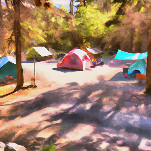 Campground: Coho Group Camp
 Campground: La Wis Wis
 Ohanapecosh - Mount Rainier National Park
 Ohanapecosh
 Butter Creek Site
 Soda Springs Campground