Mt. Baker-Snoqualmie Nf/North Cascades Np Boundary To Baker Lake Paddle Report
Last Updated: 2026-04-12
°F
°F
mph
Wind
%
Humidity
Get the latest Paddle Report, Streamflow Levels, and Weather Forecast for Mt. Baker-Snoqualmie Nf/North Cascades Np Boundary To Baker Lake in Washington. Washington Streamflow Levels and Weather Forecast
Summary
Regional Streamflow Levels
 Bacon Creek Below Oakes Creek Near Marblemount
|
528cfs |
 Skagit River At Marblemount
|
4680cfs |
 Skagit River Near Concrete
|
12100cfs |
 Nf Nooksack River Bl Cascade Creek Nr Glacier
|
773cfs |
 Cascade River At Marblemount
|
971cfs |
 Skagit River At Newhalem
|
3370cfs |
15-Day Long Term Forecast
River Run Details
| Last Updated | 2026-04-12 |
| River Levels | 650 cfs (4.03 ft) |
| Percent of Normal | 46% |
| Status | |
| Class Level | None |
| Elevation | ft |
| Streamflow Discharge | cfs |
| Gauge Height | ft |
| Reporting Streamgage | USGS 12208000 |
5-Day Hourly Forecast Detail
Area Campgrounds
| Location | Reservations | Toilets |
|---|---|---|
 Noisy Creek Campsites
|
||
 Shannon Creek Campground
|
||
 Shannon Creek
|
||
 Swift Creek Campground
|
||
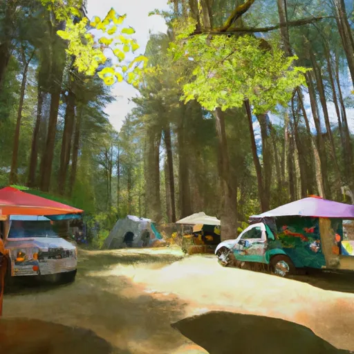 Park Creek Campground
|
||
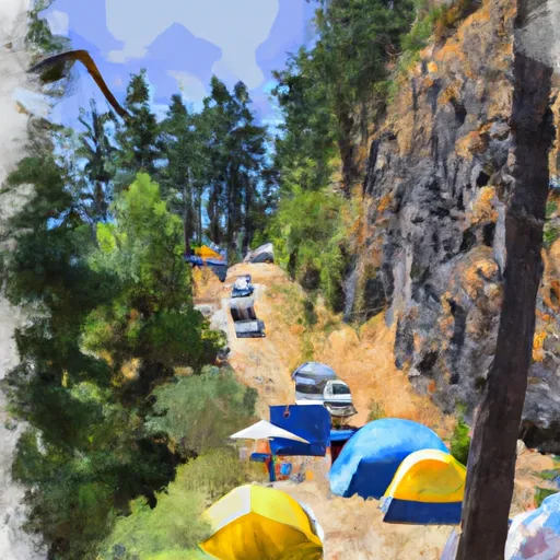 Panorama Point Campground
|
River Runs
-
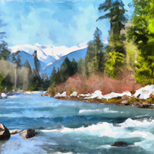 Mt. Baker-Snoqualmie Nf/North Cascades Np Boundary To Baker Lake
-
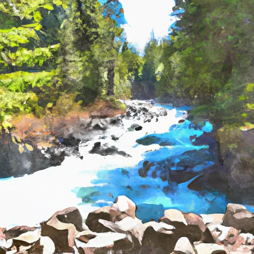 Blum Creek To Baker Lake
-
 Mt. Baker-Snoqualmie Nf/North Cascades Np Boundary To Confluence With Blum Creek
-
 Headwaters To North Cascades National Park Boundary
-
 Mt. Baker-Snoqualmie Nf/North Cascades Np To Mt. Baker Wilderness Boundary
-
 Headwaters To U.S./Canadian Border


 National Forest Development Road 1150 Whatcom County
 Continue with Snoflo Premium