Summary
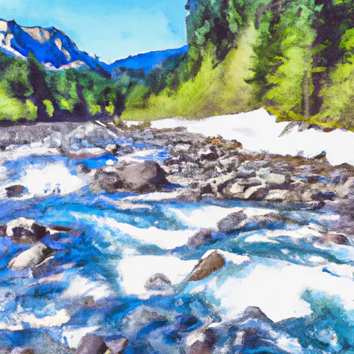
According to the latest information available, the ramp is 14 feet wide and provides access to the Sauk River, which is a popular destination for fishing and kayaking. The ramp is designed to accommodate small to medium-sized watercraft, such as canoes, kayaks, and motorized boats. It is located in the Mt. Baker-Snoqualmie National Forest and is open to the public year-round. The coordinates for the boat launch are 48.345138 latitude and -121.548498 longitude. Overall, the Lower Sauk Boat Launch is a well-maintained facility that provides easy access to the scenic Sauk River.
°F
°F
mph
Wind
%
Humidity
15-Day Weather Outlook
Nearby Boat Launches
5-Day Hourly Forecast Detail
Area Streamflow Levels
| SAUK RIVER NEAR SAUK | 2150cfs |
| SAUK RIVER AT DARRINGTON | 5220cfs |
| SAUK RIVER AB WHITECHUCK RIVER NEAR DARRINGTON | 474cfs |
| CASCADE RIVER AT MARBLEMOUNT | 393cfs |
| SKAGIT RIVER AT MARBLEMOUNT | 8030cfs |
| SKAGIT RIVER NEAR CONCRETE | 13200cfs |
River Runs
-
 Glacier Peak Wilderness Boundary To Confluence With Skagit River
-
 Glacier Peak Wilderness Boundary To Confluence With Suiattle River
-
 Headwaters In Ne1/4 Of Sec 4, T33N, R12E To Glacier Peak Wilderness Boundary
-
 Boulder River Wilderness Boundary To Confluence With Stillaguamish River
-
 Glacier Peak Wilderness Boundary To Confluence With Sauk River

 Lower Sauk Boat Launch