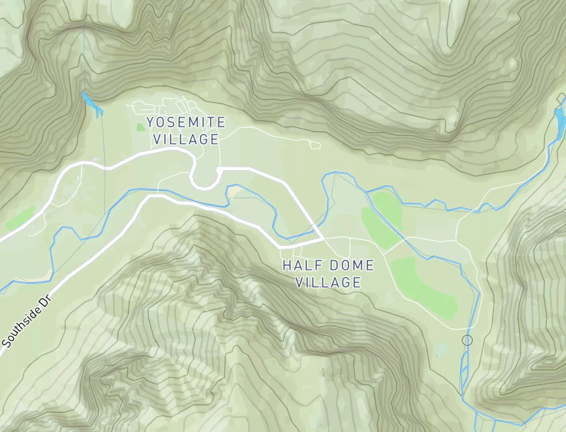
Mount St. Helens National Volcanic Monument Boundary To To Point River Reenters Mshnvm In Se 1/4 Of Sec 11, T10n, R5e Paddle Report
Last Updated: 2026-05-09
°F
°F
mph
Wind
%
Humidity
Get the latest Paddle Report, Streamflow Levels, and Weather Forecast for Mount St. Helens National Volcanic Monument Boundary To To Point River Reenters Mshnvm In Se 1/4 Of Sec 11, T10n, R5e in Washington. Washington Streamflow Levels and Weather Forecast
Summary
Regional Streamflow Levels
15-Day Long Term Forecast
River Run Details
| Last Updated | 2026-05-09 |
| River Levels | 5250 cfs ( ft) |
| Percent of Normal | 56% |
| Status | |
| Class Level | None |
| Elevation | ft |
| Streamflow Discharge | cfs |
| Gauge Height | ft |
| Reporting Streamgage | USGS 14233500 |
5-Day Hourly Forecast Detail
Area Campgrounds
| Location | Reservations | Toilets |
|---|---|---|
 Shovel Camp
|
||
 Snow Camp
|
||
 Panhandle Camp
|
||
 Obscurity Camp
|
||
 Margaret Camp
|
||
 Dome Camp
|
River Runs
-
 Mount St. Helens National Volcanic Monument Boundary To To Point River Reenters Mshnvm In Se 1/4 Of Sec 11, T10N, R5E
-
 Headwaters In Se1/4 Of Sec 31, T10N, R6E To Mount St. Helens National Volcanic Monument Boundary
-
 Mount St. Helens National Volcanic Monument Boundary To Mount St. Helens National Volcanic Boundary In Sw 1/4 Of Sec 32, T11N, R5E
-
 Goat Rocks Wilderness Bounday To Cowlitz Falls Ferc Project Boundary In Ne1/4 Of Nw1/4 Of Sec 4, T11N, R6E
-
 Headwaters In Sw1/4 Sec 28, T9N, R5E To Mount St. Helens National Volcanic Monument Boundary
-
 (Upper Muddy Segment) Headwaters In Se1/4 Of Sec 10, T8N, R5E To Conflence With Smith Creek


 Champion Haul Road Lewis County
 Continue with Snoflo Premium