Summary
The ideal streamflow range for this section of the river is between 500 and 1500 cfs. The class rating for the river ranges between III and IV, providing an exciting and challenging experience for experienced rafters.
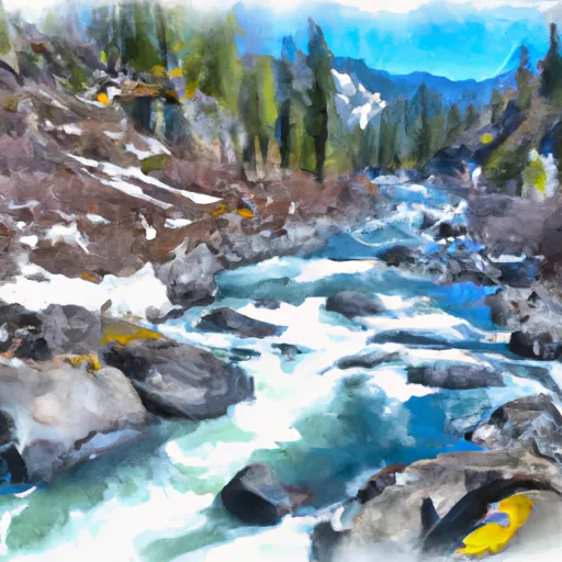
The segment mileage for this section of the river is approximately 12 miles. The river rapids and obstacles in this section include the Skidder, Carcass, S-Turn, Cliff, and the notorious Corkscrew rapid. These rapids provide a thrilling experience for rafters with fast-moving waters and challenging obstacles.
Specific regulations to the area include the requirement for a permit to access the Pasayten Wilderness. Additionally, all individuals rafting on the river must wear a personal flotation device and follow all safety guidelines set forth by the Washington State Parks and Recreation Commission.
Overall, the Whitewater River run Confluence with Tungsten Creek to Pasayten Wilderness Boundary is a challenging and exciting whitewater rafting destination in Washington state. It offers a unique combination of fast-moving waters, challenging obstacles, and stunning scenery, making it a must-visit for any experienced rafter.
°F
°F
mph
Wind
%
Humidity
15-Day Weather Outlook
River Run Details
| Last Updated | 2026-02-07 |
| River Levels | 52 cfs (1.2 ft) |
| Percent of Normal | 200% |
| Status | |
| Class Level | None |
| Elevation | ft |
| Streamflow Discharge | cfs |
| Gauge Height | ft |
| Reporting Streamgage | USGS 12447390 |
5-Day Hourly Forecast Detail
Nearby Streamflow Levels
 Andrews Creek Near Mazama
|
7cfs |
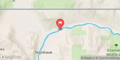 Similkameen River Near Nighthawk
|
1490cfs |
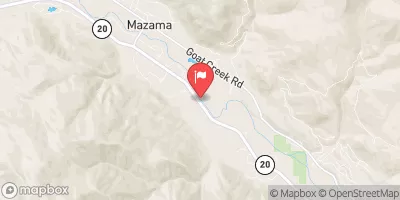 Methow River Above Goat Creek Near Mazama
|
238cfs |
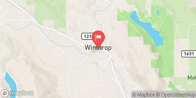 Chewuch River At Winthrop
|
184cfs |
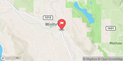 Methow River At Winthrop
|
632cfs |
 Okanogan River At Oroville
|
281cfs |
Area Campgrounds
| Location | Reservations | Toilets |
|---|---|---|
 Camp Four Campground
|
||
 Camp 4
|
||
 Tiffany Spring
|
||
 Tiffany Springs Campground
|
||
 North Fork Nine Mile- State Forest
|
||
 Chewuch
|


 Confluence With Tungsten Creek To Pasayten Wilderness Boundary