Summary
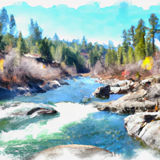
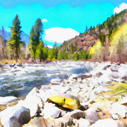
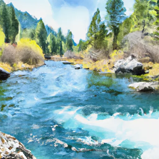
The ideal streamflow range for this section is between 500-1500 cfs, although it can be run at higher levels by experienced paddlers. This section is rated as class III-IV and covers around 10 miles, with rapids such as Rollercoaster, Pinball, and S-Turn providing thrilling challenges for paddlers.
The river features boulder gardens and technical rapids, with some sections requiring precise navigation. The area is surrounded by beautiful scenery, making it an enjoyable experience for all. However, there are specific regulations that visitors must adhere to, such as must-have safety equipment, and no camping or fires allowed within 200 feet of the river.
In addition, all paddlers must have a permit to enter the Sawtooth Wilderness Area, and groups must not exceed 12 people. It is essential to check the current water levels and weather conditions before heading out on the river, as they can change rapidly. Overall, the Whitewater River run is a challenging and exciting experience for experienced paddlers, with beautiful scenery and strict regulations to protect the environment.
°F
°F
mph
Wind
%
Humidity
15-Day Weather Outlook
Base Area Webcam
River Run Details
| Last Updated | 2026-02-07 |
| River Levels | 584 cfs (4.28 ft) |
| Percent of Normal | 147% |
| Status | |
| Class Level | iii-iv |
| Elevation | ft |
| Streamflow Discharge | cfs |
| Gauge Height | ft |
| Reporting Streamgage | USGS 12448000 |
5-Day Hourly Forecast Detail
Nearby Streamflow Levels
 Chewuch River At Winthrop
|
184cfs |
 Methow River At Winthrop
|
632cfs |
 Methow River Above Goat Creek Near Mazama
|
238cfs |
 Twisp River Near Twisp
|
248cfs |
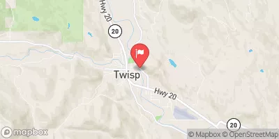 Methow River At Twisp
|
944cfs |
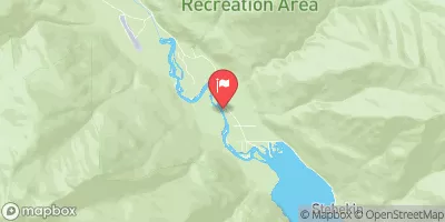 Stehekin River At Stehekin
|
531cfs |
Area Campgrounds
| Location | Reservations | Toilets |
|---|---|---|
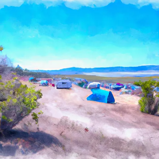 Pearrygin Lake State Park
|
||
 Ramsey Creek Campground
|
||
 Ramsey Creek - WDFW
|
||
 War Creek Campground
|
||
 War Creek
|
||
 Bear Creek - WDFW
|
River Runs
-
 Confluence Of South Fork Wolf Creek To Lake Chelan-Sawtooth Wilderness Boundary
-
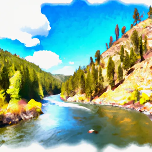 Lake Chelan-Sawtooth Wilderness Boundary To Okanogan Nf Boundary
-
 Private Land Boundary To Okanogan Nf Boundary
-
 Pasayten Wilderness Boundary To Okanogan Nf Boundary
-
 Lake Chelan-Sawtooth Wilderness Boundary To Private Land Boundary Near Lime Creek In Se1/4 Of Sec 18, T33N, R20E

