Summary
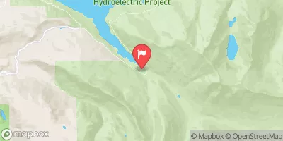
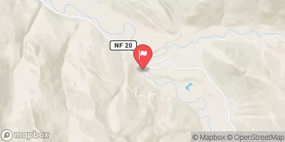
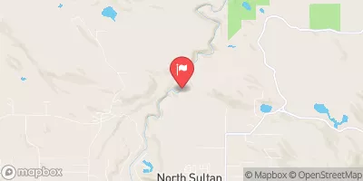
The ideal streamflow range for this run is between 800 and 2000 cfs, providing Class III-V rapids, depending on the section. The segment mileage from the End of USFS Road 63 to the confluence with Troublesome Creek is approximately 11 miles.
The specific river rapids and obstacles on this stretch of the Whitewater River include the famous "Widowmaker" rapid, a Class V rapid that requires advanced kayaking skills and experience to navigate safely. Other notable rapids on this run include "The Notch" and "Welcome to the Jungle." The river also contains numerous boulder gardens, drops, and narrow channels that require technical maneuvering.
Specific regulations for this area include a permit system that limits the number of visitors each day. Additionally, visitors must follow Leave No Trace principles and pack out all trash and waste. Camping is permitted in designated areas only, and fires are not allowed. Visitors should also be aware of the potential for flash floods during periods of heavy rain.
°F
°F
mph
Wind
%
Humidity
15-Day Weather Outlook
River Run Details
| Last Updated | 2026-02-07 |
| River Levels | 92 cfs (9.2 ft) |
| Percent of Normal | 42% |
| Status | |
| Class Level | iii-v |
| Elevation | ft |
| Streamflow Discharge | cfs |
| Gauge Height | ft |
| Reporting Streamgage | USGS 12137290 |
5-Day Hourly Forecast Detail
Nearby Streamflow Levels
Area Campgrounds
| Location | Reservations | Toilets |
|---|---|---|
 Troublesome Creek Campground
|
||
 Troublesome Creek
|
||
 San Juan
|
||
 Sauk River Campground
|
||
 Hops Hill Campground
|
||
 Twin Bridge Campground
|
River Runs
-
 End Of Usfs Road 63 To Confluence With Troublesome Creek
-
 Usfs Road 63 To Confluence With North Fork Skykomish River
-
 Headwaters At Outlet Of Blanca Lake To Usfs Road 63
-
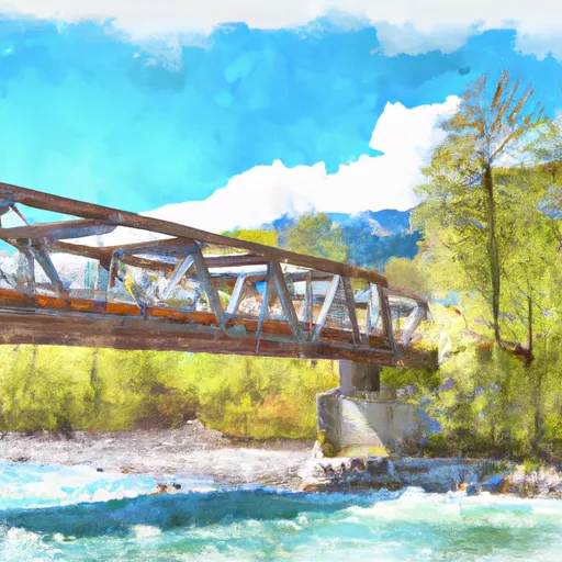 Bridge To Confluence With North Fork Skykomish River
-
 Headwaters In Nw 1/4 Of Sec 30, T29N, R14E To End Of Usfs Road 63 In Nw1/4 Of Sec 10, T28N, R12E
-
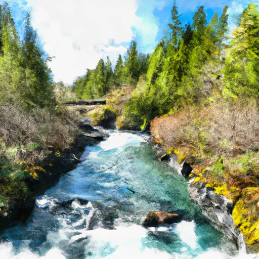 Headwaters In Ne1/4 Of Sec 13, T28N, R12E To Bridge In Sec 21, T28N, R12E


