Summary
The ideal streamflow range for this run is between 800-2000 cfs. The class rating for this run is Class III to IV, making it suitable for intermediate to advanced paddlers.
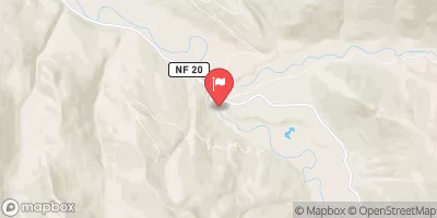
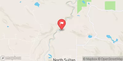
The run starts at USFS Road 63 and runs for approximately 11 miles, eventually ending at the confluence with the North Fork Skykomish River. Along the way, paddlers can expect to encounter a variety of rapids and obstacles, including Boulder Drop, S-Turn, and the Narrows.
It is important for paddlers to be aware of specific regulations in the area, including the requirement for a valid permit issued by the US Forest Service. Additionally, there are restrictions on the use of certain types of watercraft, such as motorized boats.
Multiple sources confirm these details about the Whitewater River Run, including American Whitewater and Washington Trails Association. Paddlers should always check current conditions and any potential hazards before embarking on any river run.
°F
°F
mph
Wind
%
Humidity
15-Day Weather Outlook
River Run Details
| Last Updated | 2026-02-07 |
| River Levels | 92 cfs (9.2 ft) |
| Percent of Normal | 42% |
| Status | |
| Class Level | iii |
| Elevation | ft |
| Streamflow Discharge | cfs |
| Gauge Height | ft |
| Reporting Streamgage | USGS 12137290 |
5-Day Hourly Forecast Detail
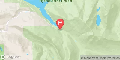
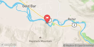
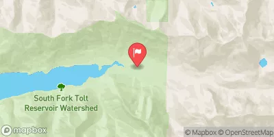
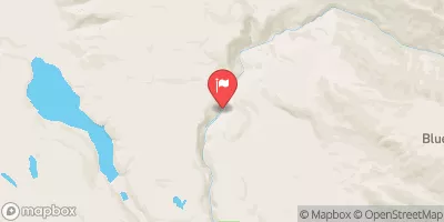
Nearby Streamflow Levels
Area Campgrounds
| Location | Reservations | Toilets |
|---|---|---|
 Troublesome Creek Campground
|
||
 Troublesome Creek
|
||
 San Juan
|
||
 Sauk River Campground
|
||
 Hops Hill Campground
|
||
 Twin Bridge Campground
|
River Runs
-
 Usfs Road 63 To Confluence With North Fork Skykomish River
-
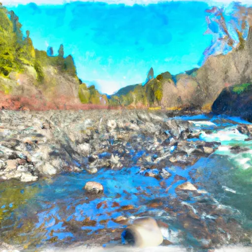 End Of Usfs Road 63 To Confluence With Troublesome Creek
-
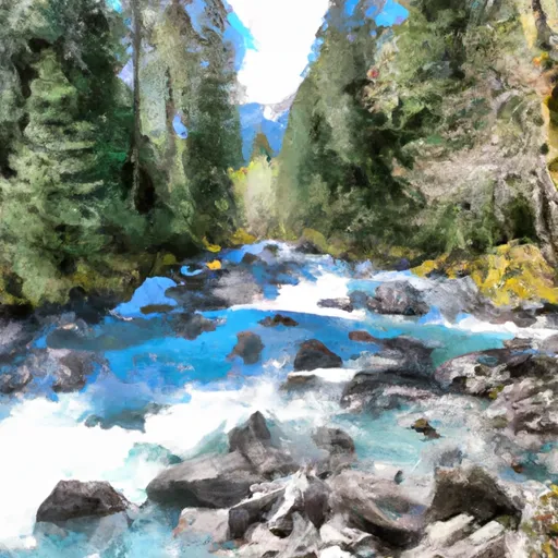 Headwaters At Outlet Of Blanca Lake To Usfs Road 63
-
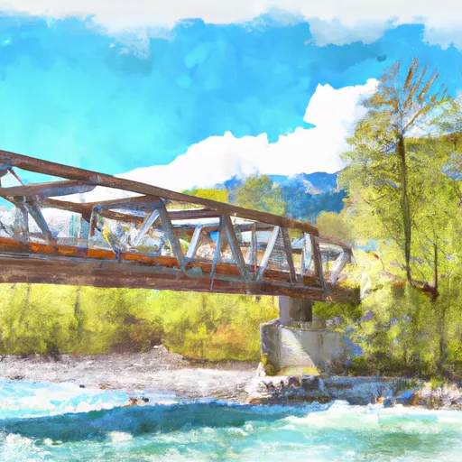 Bridge To Confluence With North Fork Skykomish River
-
 Headwaters In Nw 1/4 Of Sec 30, T29N, R14E To End Of Usfs Road 63 In Nw1/4 Of Sec 10, T28N, R12E
-
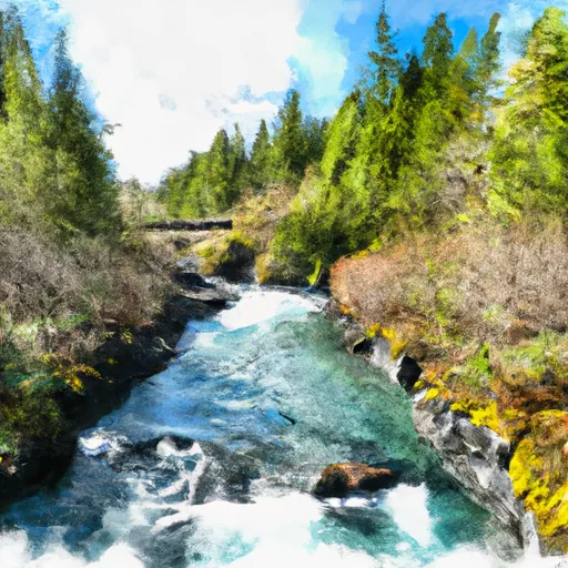 Headwaters In Ne1/4 Of Sec 13, T28N, R12E To Bridge In Sec 21, T28N, R12E


