Summary
The ideal streamflow range for this river is between 300-800 cfs. The river is rated Class III-IV, making it suitable for intermediate and advanced paddlers. The segment mileage of the river is approximately 4.5 miles, starting from the put-in point at Douglas Creek Campground and ending at the take-out point at the South Fork Tieton River.
The river features multiple rapids and obstacles, including "Big Kahuna," "The Ledge," and "The Bump." These rapids vary in difficulty and require careful navigation. The "Big Kahuna" rapid is a Class IV rapid with a large rock obstacle that requires precise maneuvering to avoid. "The Ledge" is a Class III rapid with a steep drop that can be challenging to navigate. "The Bump" is a Class III rapid with multiple waves and obstacles that can be difficult to predict.
Specific regulations to the area include the requirement for a valid Washington State Discover Pass to park at the Douglas Creek Campground. Additionally, all boaters are required to wear a personal flotation device and to follow Leave No Trace principles while on the river. It is important to note that the river flow can change rapidly, and paddlers should always check current conditions before embarking on a trip. Overall, the Douglas Creek is a challenging and exciting whitewater river run for experienced paddlers seeking adventure in Washington State.
°F
°F
mph
Wind
%
Humidity
15-Day Weather Outlook
River Run Details
| Last Updated | 2025-06-28 |
| River Levels | 555 cfs (9.06 ft) |
| Percent of Normal | 6% |
| Status | |
| Class Level | iii-iv |
| Elevation | ft |
| Streamflow Discharge | cfs |
| Gauge Height | ft |
| Reporting Streamgage | USGS 12452500 |
5-Day Hourly Forecast Detail
Nearby Streamflow Levels
 Entiat River Near Entiat
|
336cfs |
 Chelan River At Chelan
|
770cfs |
 Wenatchee River At Monitor
|
2910cfs |
 Mad River At Ardenvoir
|
91cfs |
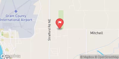 Crab Creek Near Moses Lake
|
17cfs |
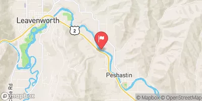 Wenatchee River At Peshastin
|
2760cfs |
Area Campgrounds
| Location | Reservations | Toilets |
|---|---|---|
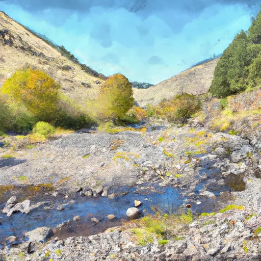 Douglas Creek Dispersed - Yakima River Canyon Dispersed
|
||
 North Douglas Creek
|
||
 Duffy / Douglas Creek
|


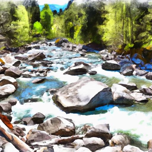 Douglas Creek