2026-02-18T10:00:00-08:00
* WHAT...Snow expected. Total snow accumulations 1 to 3 inches with locally up to 5 inches. * WHERE...La Crosse, Coeur d'Alene, Pullman, Genesee, Plummer, Downtown Spokane, Post Falls, Tekoa, Airway Heights, Davenport, Oakesdale, Rockford, Hayden, Moscow, Spokane Valley, Cheney, Fairfield, Uniontown, Colfax, Worley, Rosalia, and Potlatch. * WHEN...From 10 PM this evening to 10 AM PST Wednesday. * IMPACTS...Plan for winter travel conditions during the Wednesday morning commute. * ADDITIONAL DETAILS...Small scale bands of moderate to heavy snow will lead to large variability in snow amounts over short distances.
Summary
The ideal streamflow range for this run is between 300 and 1200 cfs, although experienced paddlers may be able to handle higher flows. The class rating for this run is Class III, with some Class IV rapids depending on the water level.
The segment mileage for the Rock Creek run is approximately 7 miles, starting at a bridge on Rock Creek Road and ending at the Snake River. There are several notable rapids and obstacles along the way, including the Upper Rock Creek Rapid, The Narrows, and the Lower Rock Creek Rapid.
There are specific regulations in place for the Rock Creek run, including a permit system for commercial outfitters and a limit of 12 people per group. All boaters are required to wear personal flotation devices and carry a whistle and a throw rope. Additionally, there are restrictions on camping and campfires in the area to protect the natural environment.
°F
°F
mph
Wind
%
Humidity
15-Day Weather Outlook
River Run Details
| Last Updated | 2025-06-28 |
| River Levels | 146 cfs (4.01 ft) |
| Percent of Normal | 31% |
| Status | |
| Class Level | iii-iv |
| Elevation | ft |
| Streamflow Discharge | cfs |
| Gauge Height | ft |
| Reporting Streamgage | USGS 13351000 |



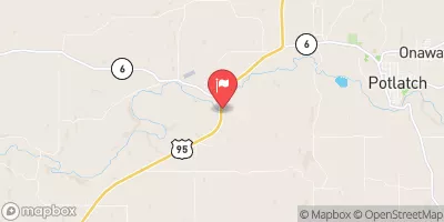
 Rock Creek (Adams And Whitman Counties)