Summary
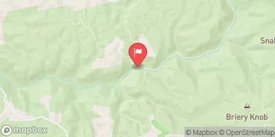
19 Bridge is a popular stretch of river for experienced paddlers. The ideal streamflow range for this section is between 800-1,200 cfs. The class rating for this run varies between class III and IV depending on the water level. The segment mileage is approximately 7 miles.
The river contains multiple rapids and obstacles such as "Double Z," "Big Nasty," and "Keeneys." These rapids are challenging and require technical paddling skills. Additionally, the river has several large boulders and undercut rocks that pose a risk to paddlers.
It is important to note that this section of the river is regulated by the West Virginia Department of Natural Resources. Paddlers must have a valid West Virginia fishing license, and all boats must be registered or have a valid temporary registration. Furthermore, all paddlers must wear a Coast Guard-approved personal flotation device (PFD) at all times while on the river.
In conclusion, the whitewater river run from Meadow Creek Junction to the Route U.S. 19 Bridge is a challenging and technical stretch of river that requires experienced paddling skills. Paddlers must pay attention to the ideal streamflow range, class rating, segment mileage, specific river rapids/obstacles, and specific regulations to the area to ensure a safe and enjoyable experience on the river.
°F
°F
mph
Wind
%
Humidity
15-Day Weather Outlook
River Run Details
| Last Updated | 2026-01-23 |
| River Levels | 66 cfs (3.5 ft) |
| Percent of Normal | 33% |
| Status | |
| Class Level | iii |
| Elevation | ft |
| Run Length | 23.0 Mi |
| Streamflow Discharge | cfs |
| Gauge Height | ft |
| Reporting Streamgage | USGS 03190000 |
5-Day Hourly Forecast Detail
Nearby Streamflow Levels
 Meadow River At Nallen
|
2420cfs |
 New River At Thurmond
|
21200cfs |
 Greenbrier River At Alderson
|
347cfs |
 Gauley River Near Craigsville
|
3870cfs |
 Peters Creek Near Lockwood
|
87cfs |
 Cranberry River Near Richwood
|
259cfs |


 Meadow Creek Junction To The Route U.S. 19 Bridge