2026-02-23T22:00:00-05:00
* WHAT...Northwest winds 15 to 25 mph with gusts up to 50 mph expected. * WHERE...Northwest Pocahontas and Southeast Randolph Counties. * WHEN...From 7 PM this evening to 10 PM EST Monday. * IMPACTS...Gusty winds will blow around unsecured objects. Tree limbs could be blown down and a few power outages may result.
Summary
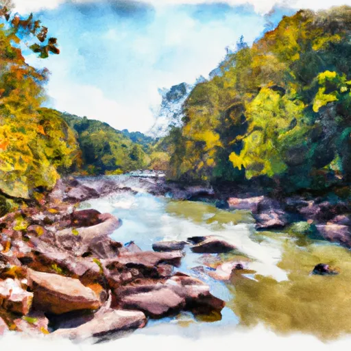
The ideal streamflow range for this section is between 800-1200 cfs. The class rating of this segment is class III-IV, with some rapids reaching class V during high water. The segment spans a distance of 6.5 miles and features several notable rapids, such as Double Z, Pinball, and Devil's Nose.
Double Z is the first significant rapid on the run and features a tight, technical entrance that leads into a series of powerful hydraulic currents. Pinball is a class IV-V rapid that requires precise maneuvering to avoid several boulders and strong currents. Devil's Nose is a class IV rapid that features a steep drop and a tight S-turn that requires precise navigation.
In terms of regulations, all boaters must wear a personal flotation device (PFD) at all times while on the river. Additionally, all boaters must comply with state fishing regulations and obtain a valid fishing license if they plan to fish on the river. Overall, the Frazier Creek to .5 Mile Above Us 33 segment of the Whitewater River Run offers a thrilling and challenging experience for experienced whitewater enthusiasts.
°F
°F
mph
Wind
%
Humidity
15-Day Weather Outlook
River Run Details
| Last Updated | 2026-01-26 |
| River Levels | 68 cfs (3.64 ft) |
| Percent of Normal | 43% |
| Status | |
| Class Level | iii-iv |
| Elevation | ft |
| Streamflow Discharge | cfs |
| Gauge Height | ft |
| Reporting Streamgage | USGS 03068800 |
5-Day Hourly Forecast Detail
Nearby Streamflow Levels
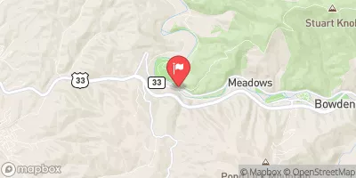 Shavers Fork Below Bowden
|
2790cfs |
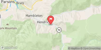 Dry Fork At Hendricks
|
6470cfs |
 Tygart Valley River Near Dailey
|
4540cfs |
 Cheat River Near Parsons
|
13500cfs |
 Tygart Valley River At Belington
|
4160cfs |
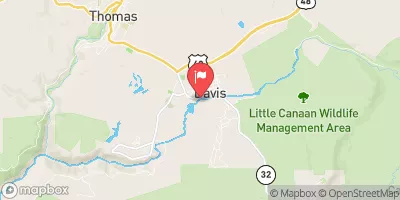 Blackwater R At Davis
|
1330cfs |
Area Campgrounds
| Location | Reservations | Toilets |
|---|---|---|
 Bear Heaven Campground
|
||
 Casa Vitela
|
||
 Stuart Day Use Area and Campground
|
||
 Stuart Campground
|
||
 Brian's place
|
||
 Laurel Fork
|


 Frazier Creek To .5 Mile Above Us 33
 ,5 Mile Above Us 33 To Waterfall Run
 .5 Mile Above Route 22 To Us 33
 .5 North Of Us 33 To Shears Hollow
 Forks To Frazier Creek
 Forest Land At Entrance Of Laurel Fork South Wilderness To Exit Laurel Fork North Wilderness