2026-02-24T01:00:00-05:00
* WHAT...Heavy snow expected. Total snow accumulations between 5 and 12 inches with locally higher amounts expected. Winds gusting as high as 45 mph. * WHERE...Portions of central, northeast, northern, and southeast West Virginia. * WHEN...Until 1 AM EST Tuesday. * IMPACTS...Roads, and especially bridges and overpasses, will likely become slick and hazardous. Whiteout conditions are expected and will make travel treacherous and potentially life-threatening. Travel could be very difficult to impossible. The hazardous conditions could impact the Monday morning and evening commutes. Gusty winds could bring down tree branches.
Summary
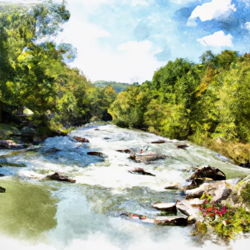
Forest Service Cranberry Campground in West Virginia is a popular destination for whitewater enthusiasts. The ideal streamflow range for this section of the river is between 600 to 1,000 cubic feet per second (cfs) with class II-III rapids, providing a fun and challenging experience for intermediate and advanced paddlers. The segment mileage for this run is approximately 5.5 miles, with specific river rapids and obstacles such as the "Big Rock" and "S-Turn," which require skill and precision to navigate.
There are specific regulations in place to protect the natural environment of the area, such as a limit of 20 people per group and no camping or fires allowed within 100 feet of the river. Additionally, there are restrictions on the use of alcohol and drugs, as well as a requirement for all participants to wear personal flotation devices (PFDs) at all times.
Sources including American Whitewater and the U.S. Forest Service confirm the accuracy of this information. It is important to note that water levels can fluctuate rapidly, and paddlers should always check with local authorities for updated information on streamflow and weather conditions before embarking on this or any other whitewater journey.
°F
°F
mph
Wind
%
Humidity
15-Day Weather Outlook
River Run Details
| Last Updated | 2026-01-25 |
| River Levels | 48 cfs (2.42 ft) |
| Percent of Normal | 58% |
| Status | |
| Class Level | ii-iii |
| Elevation | ft |
| Run Length | 12.0 Mi |
| Streamflow Discharge | cfs |
| Gauge Height | ft |
| Reporting Streamgage | USGS 03187500 |
5-Day Hourly Forecast Detail
Nearby Streamflow Levels
 Cranberry River Near Richwood
|
1690cfs |
 Greenbrier River At Buckeye
|
10500cfs |
 Williams River At Dyer
|
2670cfs |
 Gauley River Near Craigsville
|
10800cfs |
 Elk River Below Webster Springs
|
5110cfs |
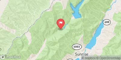 Little Back Creek Near Sunrise
|
38cfs |
Area Campgrounds
| Location | Reservations | Toilets |
|---|---|---|
 Day Run
|
||
 Williams River
|
||
 Tea Creek Campground
|
||
 Tea Creek
|
||
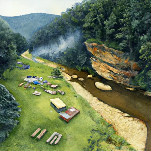 Williams River Sites
|
||
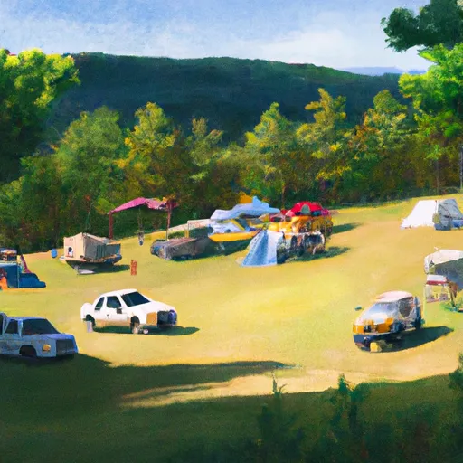 Cranberry Campground
|


 The Headwaters
To The U.S. Forest Service Cranberry Campground
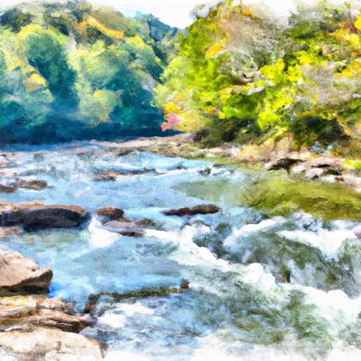 Darnell Run To Rabbit Run
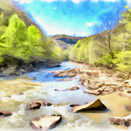 Tea Creek To Three Forks
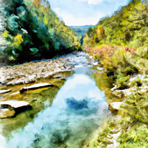 National Forest Land To Tea Creek
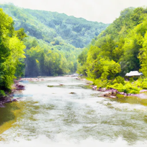 The U.S. Forest Service Cranberry Campground
To The Confluence With The Gauley River
 Three Forks To Spice Run