Summary
The boat ramp is primarily used for recreational purposes and is accessible by vehicles.
The width of the boat ramp is not specified in the available information, but it is safe to assume that it is wide enough to accommodate various types of watercraft commonly used for recreational activities.
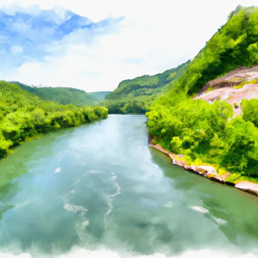
The Persinger Ford Road boat ramp provides access to the Gauley River, which is a popular spot for recreational activities like fishing, kayaking, and whitewater rafting. The Gauley River is known for its challenging rapids and is a popular destination for whitewater enthusiasts.
Various types of watercraft are permitted on the Gauley River, including kayaks, canoes, rafts, and motorized boats. However, it is important to note that some sections of the river may be restricted to certain types of watercraft, depending on the water level and other conditions. It is always recommended to check with local authorities or park rangers for the latest information on permitted watercraft and any restrictions or regulations that may be in place.
Overall, the Persinger Ford Road boat ramp in Nicholas County, West Virginia, is a popular access point for recreational activities on the Gauley River. While the available information does not provide all the details about the boat ramp, it is clear that it is an important resource for water enthusiasts in the area.
°F
°F
mph
Wind
%
Humidity
15-Day Weather Outlook
5-Day Hourly Forecast Detail
Area Streamflow Levels
| GAULEY RIVER NEAR CRAIGSVILLE | 10800cfs |
| CRANBERRY RIVER NEAR RICHWOOD | 1690cfs |
| PETERS CREEK NEAR LOCKWOOD | 232cfs |
| MEADOW RIVER AT NALLEN | 5510cfs |
| WILLIAMS RIVER AT DYER | 2670cfs |
| BIRCH RIVER AT HEROLD | 11cfs |

 Persinger Ford Road Nicholas County
 Begins Below Summersville Lake To The Town Of Swiss
 Upper Gauley - Summersville Dam to Mason Branch