Summary
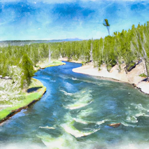
The ideal streamflow range for this run is between 500 and 2500 cfs, although experienced kayakers may be able to handle higher flows. The river is rated as Class II-III, with some Class IV rapids depending on water levels. The segment mileage for this run is approximately 10 miles.
Some specific river rapids and obstacles on this run include the Kitchen Sink, a Class III rapid with a large hole and wave; the Million Dollar Mile, a Class II-III section with continuous rapids; and the Red Rock Rapid, a Class IV rapid with a tricky entrance and large waves. It is important for kayakers to have experience with Class IV rapids before attempting the Red Rock Rapid.
There are specific regulations for this area, including the requirement of a permit to launch a watercraft in Yellowstone National Park. In addition, all paddlers must wear personal flotation devices, and fires are not permitted along the riverbank.
°F
°F
mph
Wind
%
Humidity
15-Day Weather Outlook
River Run Details
| Last Updated | 2026-02-10 |
| River Levels | 232 cfs (5.07 ft) |
| Percent of Normal | 86% |
| Status | |
| Class Level | ii-iii |
| Elevation | ft |
| Run Length | 21.0 Mi |
| Streamflow Discharge | cfs |
| Gauge Height | ft |
| Reporting Streamgage | USGS 06037100 |
5-Day Hourly Forecast Detail
Nearby Streamflow Levels
Area Campgrounds
| Location | Reservations | Toilets |
|---|---|---|
 Madison - Yellowstone National Park
|
||
 OG1
OG1
|
||
 Sentinel Meadows East
|
||
 Imperial Meadows
|
||
 OD1
OD1
|
||
 Fairy Meadows
|


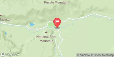
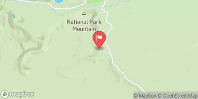
 The Junction Of The Firehole And Gibbon Rivers To The Western Yellowstone National Park Boundary