Beaver Lake To Wilderness Boundary River Run
Community Reviews
Been here? Share the conditions.
Reviews, ratings & photos are added in the free Snoflo iOS app — rate a spot, tag the conditions, and your visit is verified by location. Add or manage your reviews from the app.
Beaver Lake To Wilderness Boundary
This river run is subject to specific regulations to ensure the safety of all rafters and preserve the natural beauty of the river. The maximum group size for any river trip on the Whitewater River is 16 people, and all commercial trips must be accompanied by a licensed guide. Additionally, all participants must wear personal flotation devices at all times while on the river.
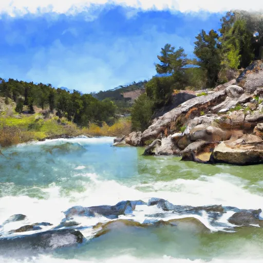
In conclusion, the Whitewater River Run from Beaver Lake to the Wilderness Boundary in Wyoming offers an exhilarating experience for experienced white-water rafters. With an ideal streamflow range of 800-1,200 cfs, a class rating of III-IV, and various rapids and obstacles, this river run is not for the faint of heart. To enjoy this adventure, rafters must adhere to specific regulations set in place to ensure their safety and preserve the river's natural beauty.
Plan your run down to the hour
Same weather feed Snoflo's iOS app uses -- updated continuously from NOAA / yr.no. Watch the precipitation column on the meteogram; rain ahead of a run typically lifts flows 12-48 hours later depending on the basin.
Next 5 days, hour by hour
Temperature line with weather symbols on top, snow + rain accumulation as columns, humidity as a dotted line.
5-day forecast table
Every 3 hours, broken out across temperature, snow, rain, humidity, and wind. Each cell is colour-coded relative to the column min/max.
| Time | Condition | Temp (°F) | Snow (in) | Rain (in) | Humidity (%) | Wind (mps) | Wind dir |
|---|---|---|---|---|---|---|---|
| Loading detailed forecast… | |||||||
15-day temperature & precipitation
Daily temperatures, snow, and rain projected over the next two weeks -- the upstream story that drives next week's flows.
Regional streamflow levels
USGS streamgauges around Beaver Lake To Wilderness Boundary -- useful for spotting upstream pulses and gauging which tributary is contributing what.
| Streamgauge | Discharge | View |
|---|---|---|
| East Fork Of Smiths Fork Near Robertson | 44 cfs | → |
| Blacks Fork Near Robertson | 73 cfs | → |
| Blacks Fork Near Millburne | 156 cfs | → |
| Uinta River Blw Powerplant Diversion Nr Neola | 176 cfs | → |
| Whiterocks River Near Whiterocks | 154 cfs | → |
| Yellowstone R. At Bridge Campgrnd | 149 cfs | → |
Plan a longer trip
The closest boat launches, other paddle runs, and campgrounds so a day on the water can grow into a full weekend.
Boat launches
Other river runs
- Wilderness Boundary To Confluence With East Fork Beaver Creek
- Forest Road 082 To Nf Boundary
- Source To Hoop Lake Diversion
- Source To Forest Road 082
- Henry's Fork Lake To Trailhead
Campgrounds
Whitewater safety
- Check the flow before you run
- Use the linked-gauge card and Regional Flow panel above. Class ratings change with flow -- a Class III at low water can become Class IV+ at high water.
- Know your skill ceiling
- Pick runs comfortably below your ceiling. Cold-water and big-water runs raise the consequences of any mistake.
- Wear the right gear
- Helmet, PFD, drysuit / wetsuit when water is below 60°F. Throw bag, knife, and whistle on your person, not in the boat.
- Scout, set safety, and run with a team
- Scout new rapids on foot, set safety with throw bags above the consequence pool, and run with at least one other competent paddler.
- Respect the river
- Strainers, undercuts, low-head dams, and wood can kill at any class rating. When in doubt, portage.
Set push alerts in the Snoflo app
Save Beaver Lake To Wilderness Boundary as a favorite, set a discharge threshold (e.g. "alert me when flow hits 600 cfs"), and the iOS app pushes the moment the linked gauge crosses.
About Beaver Lake To Wilderness Boundary
What's the optimal flow for Beaver Lake To Wilderness Boundary?
The optimal flow depends on the section and the craft. Check the Run Details panel for the linked gauge and current status.
How fresh is the cfs reading on this page?
The linked USGS streamgauge reports continuously (every 15 minutes); Snoflo refreshes throughout the day. Hover the streamflow sparkline to read individual datapoints.
What's the whitewater class?
See the Run Details panel for the class rating Snoflo tracks for this run. Class ratings change with flow -- a Class III at low water can become Class IV in high water.
Where do I put in / take out?
Tap Directions in the hero above to open driving directions to the put-in. For shuttle planning, check the Nearby Boat Launches panel and the river run operator's site.
Can I get alerts when flows hit the optimal range?
Yes -- alerts are managed in the Snoflo iOS app. Favorite this run, set a discharge threshold, and you'll get a push the moment the gauge crosses.
Other runs near here
Snoflo-tracked paddle runs within driving distance of Beaver Lake To Wilderness Boundary.