Begins Downstream Of Osprey Falls To Confluence With Yellowstone River, At The Northern Park Boundary Paddle Report
Last Updated: 2026-02-07
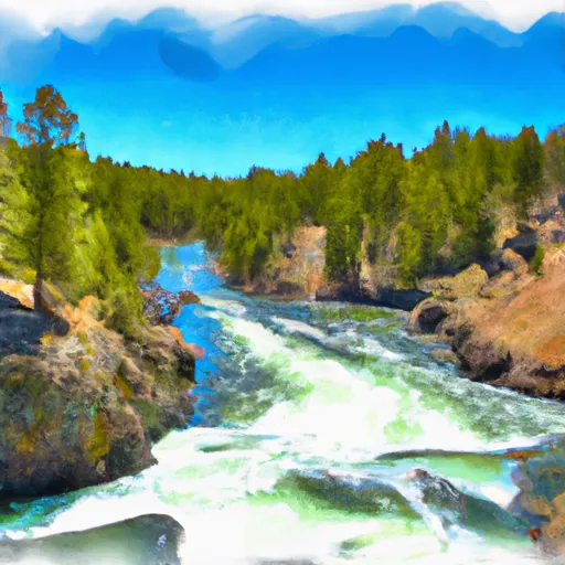
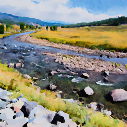
The Whitewater River Run, which begins downstream of Osprey Falls and ends at the confluence with Yellowstone River, covers a distance of about 20 miles in Wyoming.
Summary
The ideal streamflow range for this river run is between 2,000 to 15,000 cfs, which provides an exciting and challenging experience for whitewater enthusiasts. The class rating for this river run varies between Class II to Class III, depending on the specific segment of the river.
One of the most notable features of the Whitewater River Run is the House Rock rapid, which spans approximately 200 yards and is a Class III rapid. Other notable rapids and obstacles include Pine Creek Rapid, which is a Class III+ rapid, and the Screaming Left Turn, which is a Class II rapid that requires precise navigation.
As for specific regulations, the National Park Service requires all visitors to obtain a backcountry permit before embarking on this river run. Additionally, all visitors are required to follow Leave No Trace principles and pack out all waste generated during their trip. Furthermore, the use of glass containers is strictly prohibited in this area to ensure the safety of both visitors and wildlife.
In conclusion, the Whitewater River Run is a thrilling and challenging river run that offers a range of rapids and obstacles for whitewater enthusiasts. It is essential to check the streamflow range before embarking on this adventure and to follow all regulations to ensure a safe and enjoyable experience.
°F
°F
mph
Wind
%
Humidity
15-Day Weather Outlook
River Run Details
| Last Updated | 2026-02-07 |
| River Levels | 28 cfs (1.25 ft) |
| Percent of Normal | 111% |
| Status | |
| Class Level | ii-iii |
| Elevation | ft |
| Run Length | 8.0 Mi |
| Streamflow Discharge | cfs |
| Gauge Height | ft |
| Reporting Streamgage | USGS 06190540 |
5-Day Hourly Forecast Detail
Nearby Streamflow Levels
Area Campgrounds
| Location | Reservations | Toilets |
|---|---|---|
 Lava Creek
|
||
 Mammoth Campground
|
||
 Mammoth - Yellowstone National Park
|
||
 Rescue Creek
|
||
 1A2
1A2
|
||
 Indian Creek - Yellowstone National Park
|


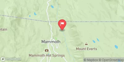
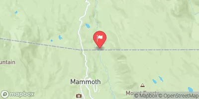
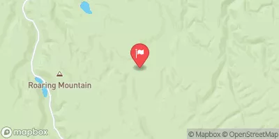
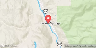
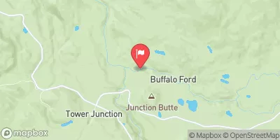
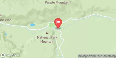
 Begins Downstream Of Osprey Falls To Confluence With Yellowstone River, At The Northern Park Boundary
 Gardiner Town Run
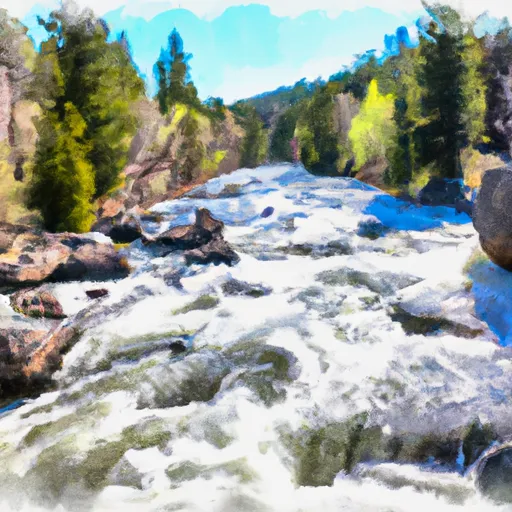 The Headwaters, In The Gallatin Range To Ends Downstream Of Osprey Falls
 The Headwaters In The Gallatin Range To Ends Where The River Parallels A Two-Lane Highway