Summary
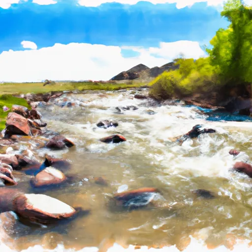
The ideal streamflow range for this river is between 500 and 1500 cfs. The river is classified as a class III-IV rapids, meaning it has moderate to difficult rapids with irregular waves and a strong current. The segment mileage of this river run is approximately 12 miles, starting from Forest Boundary, Sec. 35, T8S, R27E and ending at Headwaters, Sec. 32, T7S, R27E.
There are specific rapids and obstacles in this river run that require caution and skill. Some of these include the Twisted Sister, a narrow and technical rapid with a strong current, and the Pinch, a tight and technical rapid that requires precise maneuvering. Other rapids include the S-Turn, the Jump, and the Corkscrew, each with their own unique challenges.
In terms of regulations, the Wyoming Game and Fish Department has specific rules in place for this river run. All boaters are required to have a personal flotation device and a whistle, and it is recommended that they wear a helmet. Additionally, boaters are not allowed to disturb wildlife or fish in the area, and they must stay on the designated river channels.
Overall, the Whitewater River Run in Wyoming is a thrilling and challenging river run for experienced whitewater enthusiasts. It is important to research the streamflow, class rating, specific rapids and obstacles, and regulations before attempting this river run.
°F
°F
mph
Wind
%
Humidity
15-Day Weather Outlook
River Run Details
| Last Updated | 2026-02-07 |
| River Levels | 3750 cfs (8.07 ft) |
| Percent of Normal | 65% |
| Status | |
| Class Level | iii-iv |
| Elevation | ft |
| Streamflow Discharge | cfs |
| Gauge Height | ft |
| Reporting Streamgage | USGS 06285100 |


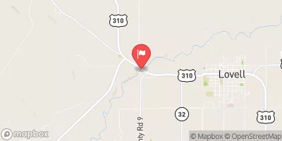
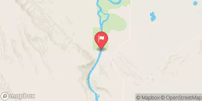
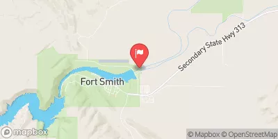
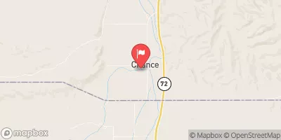
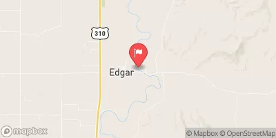
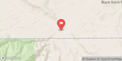
 Trail Creek/Barry's Landing Campground
 Trail Creek Canyon Campground
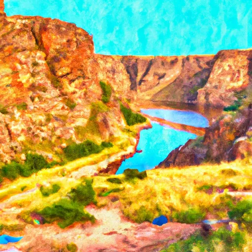 Barrys Landing - Bighorn Canyon National Rec Area
 Medicine Creek Campground
 Medicine Campground Site 2
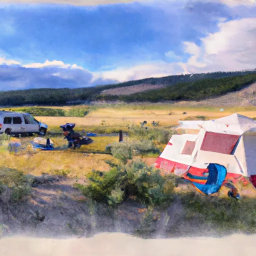 Medicine Campground Site 5
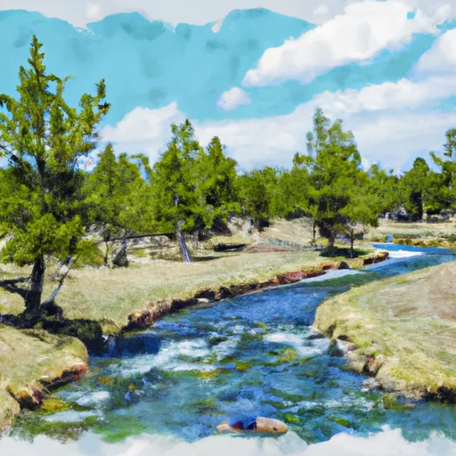 Forest Boundary, Sec. 35, T8S, R27E To Headwaters, Sec. 32, T7S, R27E
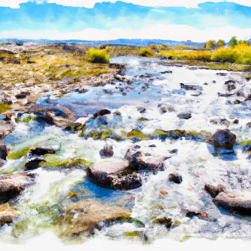 Crooked Creek
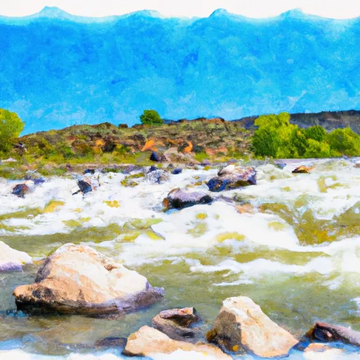 Gypsum Creek
 Bear Creek