2026-02-17T19:00:00-07:00
* WHAT...Southwest winds 30 to 40 mph with gusts up to 70 mph. * WHERE...Green Mountains and Rattlesnake Range, Natrona County Lower Elevations, and East Sweetwater County. * WHEN...Until 7 PM MST Tuesday. * IMPACTS...Travel could be difficult, especially for high profile vehicles. Strong wind combined with low humidity could bring elevated fire behavior.
Summary
The ideal streamflow range for this river is between 150-500 cubic feet per second (cfs). It is classified as a Class III-IV run, which means it has moderate to difficult rapids with irregular waves and obstacles that require precise maneuvering. The segment mileage for this run is approximately 8 miles, starting near the town of Thayne and ending at the confluence of Salt River.
Some of the specific river rapids and obstacles on this run include the "Entrance Rapid," which has a tight entrance and requires good boat control, the "S-Turn Rapid," which has a series of closely spaced waves, and "Golf Course Rapid," which has a large hole and requires a strong ferry move to avoid it. It is important for paddlers to be experienced and have the appropriate gear, including a helmet and personal flotation device.
There are specific regulations to the area that paddlers should be aware of, including a permit requirement for commercial outfitters and a restriction on floating during the winter months when ice may create hazardous conditions. It is also important for paddlers to respect private property and avoid trespassing. Overall, Mormon Creek is a challenging and rewarding whitewater run for experienced paddlers who are prepared for its class III-IV rapids and obstacles.
°F
°F
mph
Wind
%
Humidity
15-Day Weather Outlook
River Run Details
| Last Updated | 2025-06-28 |
| River Levels | 610 cfs (4.56 ft) |
| Percent of Normal | 46% |
| Status | |
| Class Level | iii-iv |
| Elevation | ft |
| Streamflow Discharge | cfs |
| Gauge Height | ft |
| Reporting Streamgage | USGS 06638090 |


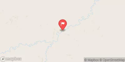
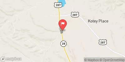
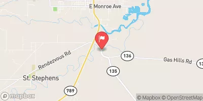
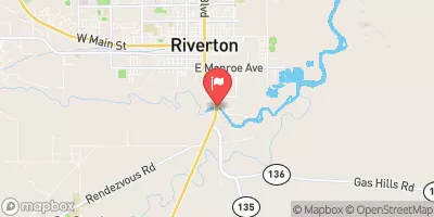


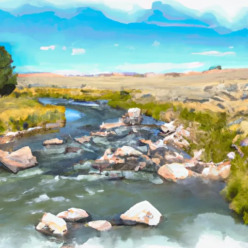 Mormon Creek
 Sweetwater River
 Granite Creek