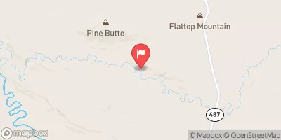
Upper Boxelder Canyon
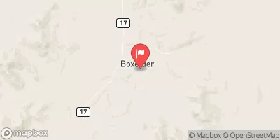
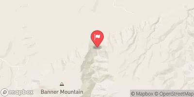
Boxelder canyon is an early season run near Casper, WY. Not far off the highway, the canyon is characterized by a pool drop creeking character. The upper canyon is around 2 miles long, but the rapids are fairly stacked once they start. The rapids range from class IV to V with some significant gradient. The quality of the run is somewhat marred by its short length and unpleasant hike out. The hike requires climbing out a gully with lots of loose rock and dirt making it difficult to find good footing in parts and potentially dangerous for those below subject to rock fall.
Suggested river levels for paddling this section of the Boxelder Creek are between a bare minimum of 120cfs and a high of 600cfs.
River conditions sourced from USGS 06646000, the Deer Creek In Canyon
Remember only watercraft are permitted
at Upper Boxelder Canyon.
Run Stats
Status | Runnable |
Class Level | V |
Elevation | 5,651 ft |
Run Length | 2.9 Mi |
Gradient | 137 FPM |
Streamflow Discharge | 13.7 cfs |
Gage Height | 2.5 ft |
Air Temperature | 89° |
River | Boxelder Creek |
Reporting Streamgage |
Deer Creek In Canyon
USGS 06646000 |
Gauge | Streamflow | Stage |
---|---|---|
L Medicine Bow R At Boles Spring
USGS 06634620 |
10 cfs | 1.0 ft |
Powder River At Sussex
USGS 06313500 |
144 cfs | 2.8 ft |
North Platte River At Orin
USGS 06652000 |
3,390 cfs | 5.2 ft |
Sybille Creek Ab Mule Creek
USGS 06664400 |
143 cfs | 2.5 ft |
Deer Creek In Canyon
USGS 06646000 |
14 cfs | 2.5 ft |
Box Elder Creek At Boxelder
USGS 06647500 |
26 cfs | 1.7 ft |
Snotel Site | Snowpack | 24hr Change |
---|
Campground | Campsites | Reservations | Toilets | Showers | Elevation |
---|---|---|---|---|---|
South Rec Complex - Glenrock | None | 5,041 ft | |||
Campbell Creek | 6 | 7,954 ft | |||
Curtis Gulch | 6 | 6,998 ft |
Ski Area | Snowpack | Air Temperature | 5 Day Forecast |
---|
River Run | Streamflow | Length | Class |
---|---|---|---|
Canyon | 26.0cfs | None Mi | I |
Upper Boxelder Canyon | 215.0cfs | 2.9 Mi | V |