San Pedro Riparian National Conservation Area
Community Reviews
Been here? Share the conditions.
Reviews, ratings & photos are added in the free Snoflo iOS app — rate a spot, tag the conditions, and your visit is verified by location. Add or manage your reviews from the app.
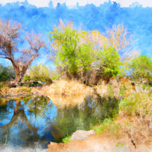
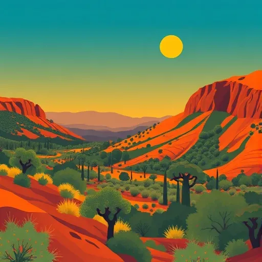
San Pedro Riparian National Conservation Area
Visiting the SPRNCA provides numerous reasons for nature enthusiasts, birdwatchers, and outdoor enthusiasts to explore this remarkable region. Here are some key attractions and interesting facts about the area:
1. Biodiversity: The SPRNCA is recognized as a globally significant ecological area due to its rich biodiversity. It serves as a habitat for over 350 bird species, including the endangered Southwestern Willow Flycatcher and Yellow-billed Cuckoo. Visitors have the opportunity to witness a myriad of migratory birds, making it a premier destination for birdwatching.
2. Wildlife Viewing: Besides birds, the area is home to a variety of wildlife, including javelinas, coyotes, deer, beavers, and even elusive predators like mountain lions. Visitors can explore the numerous trails and observation points to catch glimpses of these creatures in their natural habitat.
3. Hiking and Trails: The SPRNCA offers several well-maintained trails for hikers of all skill levels. These trails provide stunning views of the San Pedro River, lush vegetation, and diverse wildlife. The three-mile-long San Pedro House Trail is particularly popular, offering an easy walk along the riverbank and interpretive signs.
4. Historical Significance: The SPRNCA encompasses a significant historical area. It was once an important corridor for Native American tribes, Spanish explorers, and pioneers. Visitors can explore historical sites, such as the preserved ruins of the Fairbank Historic Townsite, which was a thriving town during the late 1800s.
5. Conservation Efforts: The SPRNCA has been a focal point for conservation efforts, aimed at protecting and restoring the unique riparian ecosystem. The area is managed by the Bureau of Land Management (BLM) and various stakeholders, ensuring its preservation and sustainability.
The best time to visit the SPRNCA is during the cooler months from October to April when temperatures are more pleasant for outdoor activities. Spring and fall offer the added bonus of witnessing the migration of birds. It's important to note that summers can be scorching, with temperatures exceeding 100 degrees Fahrenheit, so if you plan to visit during this time, be prepared and take precautions.
It is always recommended to verify this information by consulting the official website of the SPRNCA, the Bureau of Land Management, and other independent sources to ensure accuracy and obtain the most up-to-date information before planning your visit.
Streamflow in San Pedro Riparian National Conservation Area
Live USGS discharge at streamgauges inside the park boundary.
Trails in San Pedro Riparian National Conservation Area
Named trails whose route falls inside the park.
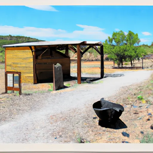
Points of interest in San Pedro Riparian National Conservation Area
Landmarks and points of interest inside the park boundary.
Plan your visit down to the hour
Same weather feed Snoflo's iOS app uses -- updated continuously from NOAA / yr.no.
Next 5 days, hour by hour
Temperature line with weather symbols on top, snow + rain accumulation as columns, humidity as a dotted line.
5-day forecast table
Every 3 hours, broken out across temperature, snow, rain, humidity, and wind.
| Time | Condition | Temp (°F) | Snow (in) | Rain (in) | Humidity (%) | Wind (mps) | Wind dir |
|---|---|---|---|---|---|---|---|
| Loading detailed forecast… | |||||||
15-day temperature & precipitation
Daily temperatures, snow, and rain projected over the next two weeks.
Responsible recreation & Leave No Trace
- Know before you go
- Check the operator's site for hours, permit requirements, seasonal closures, and fire restrictions before heading out.
- Stay on trail
- Stick to marked paths to protect vegetation, prevent erosion, and avoid disturbing wildlife habitat.
- Respect wildlife
- Observe from a distance, never feed wildlife, and store food securely if camping is permitted on-site.
- Pack it in, pack it out
- Carry out all trash, food scraps, and gear. Many parks have limited or no trash service.
- Leave what you find
- Don't take rocks, plants, or artifacts. They make the park what it is for the next visitor.
Set push alerts in the Snoflo app
Save San Pedro Riparian National Conservation Area as a favorite, set a custom threshold (precipitation, freezing temperatures, fire-restriction days), and the iOS app will push the moment conditions cross.
About San Pedro Riparian National Conservation Area
What can I do at San Pedro Riparian National Conservation Area?
Most Snoflo-tracked parks support hiking, picnicking, and wildlife viewing. Check the operator's site for activity-specific rules (camping, fishing, paddling, hunting).
How fresh is the weather data?
The hourly forecast updates throughout the day from NOAA / yr.no. Streamflow comes live from USGS streamgauges.
When is the best time to visit?
Use the 15-day temperature & precipitation outlook on this page to plan -- pick a window with comfortable temperatures and low precipitation.
How do I get to San Pedro Riparian National Conservation Area?
Tap Directions in the hero above to open driving directions in Google Maps, or Open in map to center the Snoflo interactive map on the park.
Can I get alerts when conditions change?
Yes -- alerts are managed in the Snoflo iOS app. Favorite this park, set a threshold (temperature, precipitation), and you'll get a push the moment it crosses.
Park & land designation reference
A quick legend for the federal and state land categories Snoflo tracks. Each designation comes with different rules around access, recreation, and resource extraction.
- National Park
- Large protected natural areas managed by the federal government to preserve significant landscapes, ecosystems, and cultural resources; recreation is allowed but conservation is the priority.
- State Park
- Public natural or recreational areas managed by a state government, typically smaller than national parks and focused on regional natural features, recreation, and education.
- Local Park
- Community-level parks managed by cities or counties, emphasizing recreation, playgrounds, sports, and green space close to populated areas.
- Wilderness Area
- The highest level of land protection in the U.S.; designated areas where nature is left essentially untouched, with no roads, structures, or motorized motorized access permitted.
- National Recreation Area
- Areas set aside primarily for outdoor recreation (boating, hiking, fishing, often around reservoirs, rivers, or scenic landscapes); may allow more development.
- National Conservation Area (BLM)
- BLM-managed areas with special ecological, cultural, or scientific value; more protection than typical BLM land but less strict than Wilderness Areas.
- State Forest
- State-managed forests focused on habitat, watershed, recreation, and sustainable timber harvest.
- Bureau of Land Management (BLM) Land
- Vast federal lands managed for mixed use -- recreation, grazing, mining, conservation -- with fewer restrictions than national parks or forests.