Lower Buffalo Wilderness Area
Leave a RatingLast Updated: February 12, 2026
The Lower Buffalo Wilderness Area is a protected wilderness area located in the state of Arkansas.
Summary
The area is known for its scenic beauty, diverse wildlife, and unique geological formations. There are several good reasons to visit the Lower Buffalo Wilderness Area, including hiking, camping, fishing, and wildlife viewing. The area also offers a wide range of activities and attractions for visitors of all ages and interests.
Some specific points of interest to see in the Lower Buffalo Wilderness Area include the Buffalo National River, which is known for its clear water and spectacular scenery. Other notable attractions include the Hemmed-In-Hollow Falls, the Big Creek Trail, and the Ozark Highlands Trail. Wildlife enthusiasts will enjoy the many opportunities to see a variety of species, including elk, deer, turkey, and black bear.
Interesting facts about the Lower Buffalo Wilderness Area include the fact that it is home to one of the largest populations of elk in the eastern United States. The area is also known for its unique geological formations, including natural bridges, waterfalls, and caves. In addition, the Lower Buffalo Wilderness Area is part of the larger Ozark Highlands ecosystem, which is one of the most biologically diverse regions in the United States.
The best time of year to visit the Lower Buffalo Wilderness Area is typically during the spring and fall months, when the weather is pleasant and the foliage is at its most vibrant. Summer can be hot and humid, while winter can be cold and snowy, so visitors should plan accordingly. Overall, the Lower Buffalo Wilderness Area is a must-see destination for anyone interested in experiencing the natural beauty and diversity of Arkansas.
°F
°F
mph
Wind
%
Humidity
15-Day Weather Outlook
5-Day Hourly Forecast Detail
Park & Land Designation Reference
Large protected natural areas managed by the federal government to preserve significant landscapes, ecosystems, and cultural resources; recreation is allowed but conservation is the priority.
State Park
Public natural or recreational areas managed by a state government, typically smaller than national parks and focused on regional natural features, recreation, and education.
Local Park
Community-level parks managed by cities or counties, emphasizing recreation, playgrounds, sports, and green space close to populated areas.
Wilderness Area
The highest level of land protection in the U.S.; designated areas where nature is left essentially untouched, with no roads, structures, or motorized access permitted.
National Recreation Area
Areas set aside primarily for outdoor recreation (boating, hiking, fishing), often around reservoirs, rivers, or scenic landscapes; may allow more development.
National Conservation Area (BLM)
BLM-managed areas with special ecological, cultural, or scientific value; more protection than typical BLM land but less strict than Wilderness Areas.
State Forest
State-managed forests focused on habitat, watershed, recreation, and sustainable timber harvest.
National Forest
Federally managed lands focused on multiple use—recreation, wildlife habitat, watershed protection, and resource extraction (like timber)—unlike the stricter protections of national parks.
Wilderness
A protected area set aside to conserve specific resources—such as wildlife, habitats, or scientific features—with regulations varying widely depending on the managing agency and purpose.
Bureau of Land Management (BLM) Land
Vast federal lands managed for mixed use—recreation, grazing, mining, conservation—with fewer restrictions than national parks or forests.
Related References

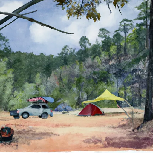 Buffalo Point B Loop
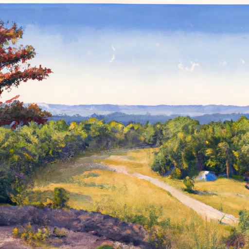 Buffalo Point Loop A
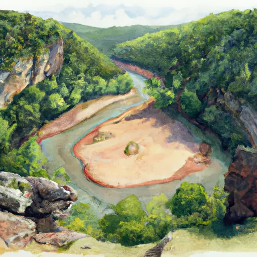 Buffalo Point - Buffalo National River
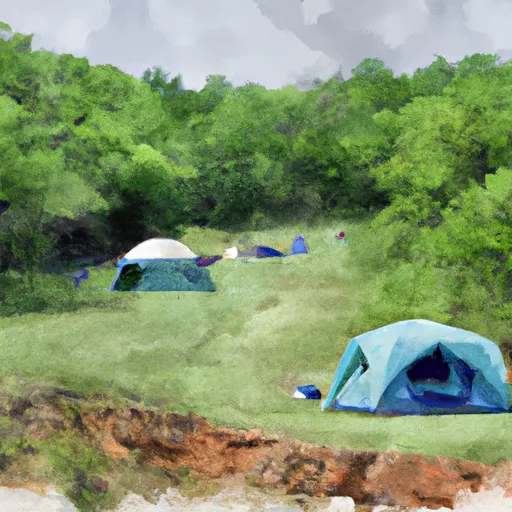 Buffalo Point Walk-in Tent Loop
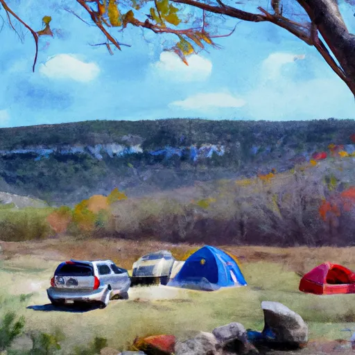 Buffalo Point C Loop
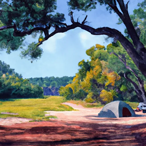 Buffalo Point D Loop
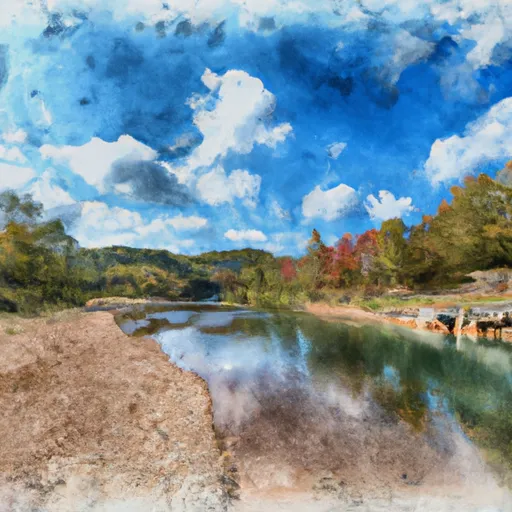 Buffalo River State Park
 Wilderness Leatherwood
 Loafer's Glory Wildlife Management Area