Backesto Park
Last Updated: April 23, 2026
Leave a RatingNearby: Watson Park Bernal Park
°F
°F
mph
Wind
%
Humidity
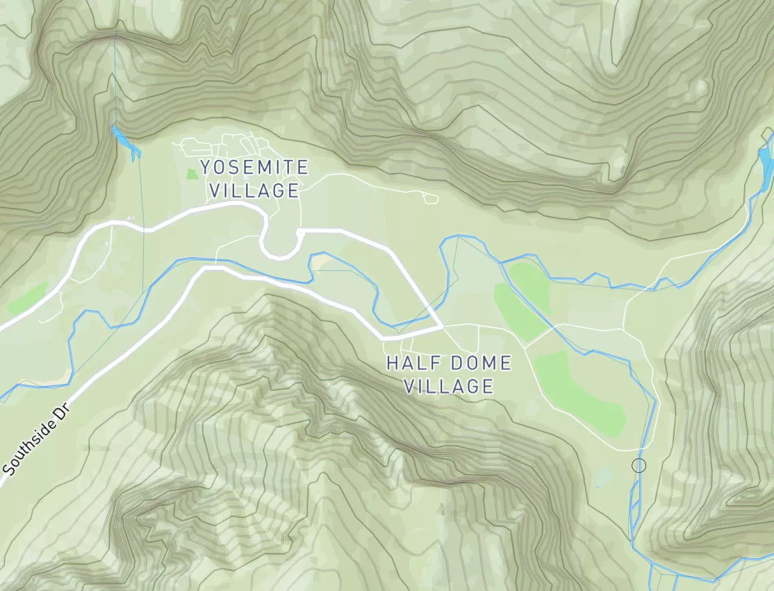
Backesto Park is a public park located in San Jose, California.
Summary
It is a popular spot for both locals and tourists, offering a variety of activities and amenities for visitors to enjoy.
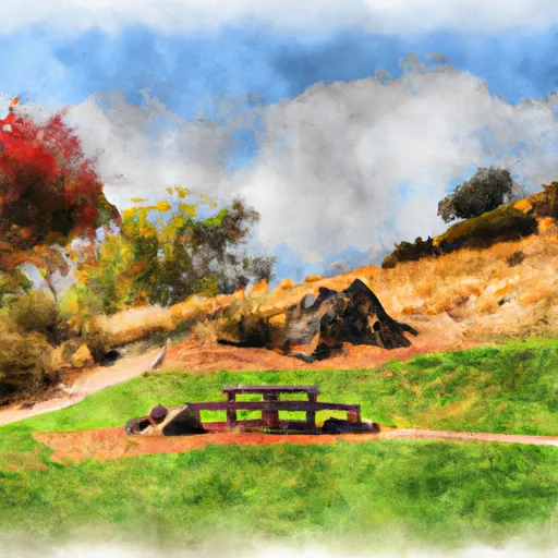
One of the main reasons to visit Backesto Park is for its beautiful green spaces and recreational opportunities. The park features multiple playgrounds, basketball courts, and picnic areas, as well as a dog park for furry friends. It is also home to the Backesto Community Garden, which provides a space for locals to grow their own produce.
In addition to its recreational offerings, Backesto Park also has several points of interest that visitors may want to check out. The park's historic bandstand was originally built in 1907 and has since been restored, serving as a centerpiece for community events and concerts.
Another interesting feature of Backesto Park is the large mural painted on the side of one of its buildings. The mural depicts scenes from San Jose's history and was painted by local artist Ben Henderson.
Visitors to Backesto Park may also appreciate some of the interesting facts about the area. For example, the park was named after John Backesto, a prominent San Jose businessman who donated the land for the park in the early 1900s. The park also has a connection to the famous Winchester Mystery House, which is located just a few blocks away. It is said that Sarah Winchester, the eccentric owner of the house, would sometimes visit Backesto Park to feed the squirrels.
The best time of year to visit Backesto Park may depend on personal preferences. The park is open year-round, but weather conditions may impact which activities are available. The spring and summer months tend to be the busiest, with more events and outdoor activities taking place. However, some visitors may prefer the cooler temperatures and smaller crowds in the fall and winter.
15-Day Long Term Forecast
5-Day Hourly Forecast Detail
Park & Land Designation Reference
Large protected natural areas managed by the federal government to preserve significant landscapes, ecosystems, and cultural resources; recreation is allowed but conservation is the priority.
State Park
Public natural or recreational areas managed by a state government, typically smaller than national parks and focused on regional natural features, recreation, and education.
Local Park
Community-level parks managed by cities or counties, emphasizing recreation, playgrounds, sports, and green space close to populated areas.
Wilderness Area
The highest level of land protection in the U.S.; designated areas where nature is left essentially untouched, with no roads, structures, or motorized access permitted.
National Recreation Area
Areas set aside primarily for outdoor recreation (boating, hiking, fishing), often around reservoirs, rivers, or scenic landscapes; may allow more development.
National Conservation Area (BLM)
BLM-managed areas with special ecological, cultural, or scientific value; more protection than typical BLM land but less strict than Wilderness Areas.
State Forest
State-managed forests focused on habitat, watershed, recreation, and sustainable timber harvest.
National Forest
Federally managed lands focused on multiple use—recreation, wildlife habitat, watershed protection, and resource extraction (like timber)—unlike the stricter protections of national parks.
Wilderness
A protected area set aside to conserve specific resources—such as wildlife, habitats, or scientific features—with regulations varying widely depending on the managing agency and purpose.
Bureau of Land Management (BLM) Land
Vast federal lands managed for mixed use—recreation, grazing, mining, conservation—with fewer restrictions than national parks or forests.
Related References
Area Campgrounds
| Location | Reservations | Toilets |
|---|---|---|
 Raymundo Campos
|
||
 Oak Knoll Group Area
|
||
 Youth Group Camp Area
|
||
 Grant County Park
|
||
 Woodland Youth Camp
|
||
 1
1
|

 Watson Park
 Bernal Park
 Roosevelt Park
 Luna Park
 Hacienda Park
 Continue with Snoflo Premium