Baylis Park Picnic Area
Leave a RatingNearby: Lake Gregory Regional Park Crest Park
Last Updated: February 18, 2026
Baylis Park Picnic Area is located in California and is a popular destination for outdoor enthusiasts.
Summary
The area is known for its scenic beauty and offers a range of outdoor activities. Some good reasons to visit Baylis Park Picnic Area include hiking, camping, fishing, picnicking, and wildlife viewing.
One of the main points of interest in Baylis Park Picnic Area is the reservoir. This artificial lake is surrounded by beautiful scenery, making it a great spot for photography and birdwatching. The area is also home to a variety of wildlife, including deer, raccoons, and various bird species.
Interesting facts about Baylis Park Picnic Area include its rich history. The area was once home to the Baylis family, who were prominent landowners in the area. The family's home still stands today and is a popular spot for tourists to visit.
The best time of year to visit Baylis Park Picnic Area is during the spring or fall. During these seasons, the weather is mild, and the foliage is at its most beautiful. Additionally, the park is less crowded during these times, making it a more peaceful and enjoyable experience for visitors.
Overall, Baylis Park Picnic Area is a must-visit destination for anyone looking to experience the beauty of California's natural landscape. With its stunning scenery, rich history, and range of outdoor activities, it is sure to be a memorable experience for all who visit.
°F
°F
mph
Wind
%
Humidity
15-Day Weather Outlook
5-Day Hourly Forecast Detail
Park & Land Designation Reference
Large protected natural areas managed by the federal government to preserve significant landscapes, ecosystems, and cultural resources; recreation is allowed but conservation is the priority.
State Park
Public natural or recreational areas managed by a state government, typically smaller than national parks and focused on regional natural features, recreation, and education.
Local Park
Community-level parks managed by cities or counties, emphasizing recreation, playgrounds, sports, and green space close to populated areas.
Wilderness Area
The highest level of land protection in the U.S.; designated areas where nature is left essentially untouched, with no roads, structures, or motorized access permitted.
National Recreation Area
Areas set aside primarily for outdoor recreation (boating, hiking, fishing), often around reservoirs, rivers, or scenic landscapes; may allow more development.
National Conservation Area (BLM)
BLM-managed areas with special ecological, cultural, or scientific value; more protection than typical BLM land but less strict than Wilderness Areas.
State Forest
State-managed forests focused on habitat, watershed, recreation, and sustainable timber harvest.
National Forest
Federally managed lands focused on multiple use—recreation, wildlife habitat, watershed protection, and resource extraction (like timber)—unlike the stricter protections of national parks.
Wilderness
A protected area set aside to conserve specific resources—such as wildlife, habitats, or scientific features—with regulations varying widely depending on the managing agency and purpose.
Bureau of Land Management (BLM) Land
Vast federal lands managed for mixed use—recreation, grazing, mining, conservation—with fewer restrictions than national parks or forests.
Related References
Area Campgrounds
| Location | Reservations | Toilets |
|---|---|---|
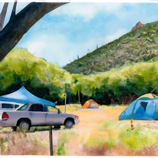 Dogwood
|
||
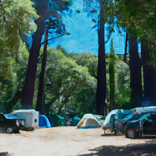 Dogwood Campground
|
||
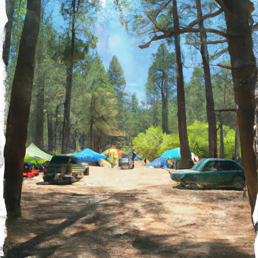 Dogwood Family Campground
|
||
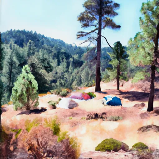 Camp Seely
|
||
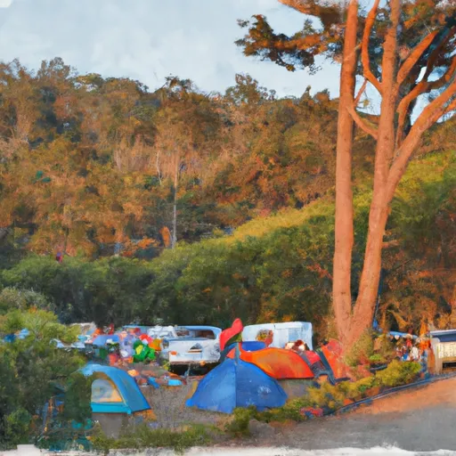 North Shore Family Campground
|
||
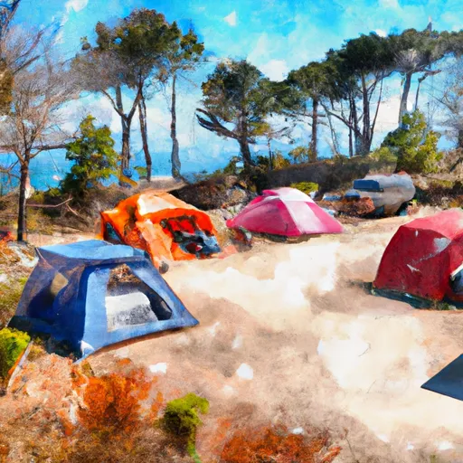 North Shore Campground
|

 Lake Gregory Regional Park
 Crest Park
 Switzer Park Picnic Ground
 Newberry Memorial Park
 Hampshire Floodway Park
 Lake Gregory County Regional Park
 Silverwood Lake
 Silverwood Lake State Recreation Area
 Deep Creek
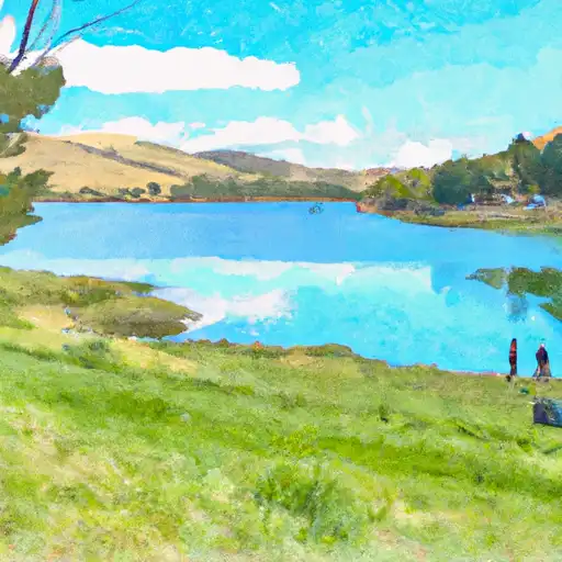 Secombe Lake