Summary
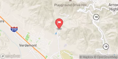
The lake is situated in the San Bernardino Mountains and covers an area of about 976 acres. Here is a fishing guide summary of the Silverwood Lake State Recreation Area:
Prevalent Fish Species: Silverwood Lake is home to a variety of fish species, including striped bass, largemouth bass, rainbow trout, catfish, bluegill, and crappie.
Nearby Activities: Apart from fishing, visitors can engage in many other activities, such as camping, picnicking, hiking, boating, and swimming. There are several picnic areas and campgrounds available near the lake.
Fishing Tips: Anglers fishing at Silverwood Lake should use bait such as shad and anchovies for catching striped bass and other predatory fish species. Lures like spinnerbaits and crankbaits can be used for catching bass. Trout can be caught using Powerbait, nightcrawlers, and salmon eggs.
Best Time of Year to Visit: The best time to visit Silverwood Lake for fishing is from late fall to early spring when the water temperature is cooler. The average temperature during this time is between 45°F to 60°F.
In conclusion, Silverwood Lake State Recreation Area is an excellent fishing destination in California, USA, with a wide variety of fish species and many other activities to engage in. Anglers can follow the above fishing tips to increase their chances of catching fish and plan their visit during the best time of year for fishing.
°F
°F
mph
Wind
%
Humidity
15-Day Weather Outlook
5-Day Hourly Forecast Detail
Nearby Streamflow Levels
Angling Safety Guidelines
Check local fishing rules, seasons, size limits, and license requirements to ensure legal and sustainable angling.
Handle Fish Responsibly
Use wet hands, minimize air exposure, and release fish gently to improve survival rates when practicing catch-and-release.
Choose the Right Gear
Match your rod, line, and tackle to the species and conditions to increase success and reduce unnecessary harm to fish.
Respect the Waterway
Avoid disturbing habitat, prevent bank erosion, and keep a safe distance from spawning areas to protect ecosystems.
Keep It Clean
Pack out all line, hooks, bait containers, and trash—discarded gear can injure wildlife and degrade waterways.
Related Links
Area Campgrounds
| Location | Reservations | Toilets |
|---|---|---|
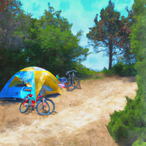 Hike & Bike Camping
|
||
 Valle
Valle
|
||
 Baranca
|
||
 Rio
Rio
|
||
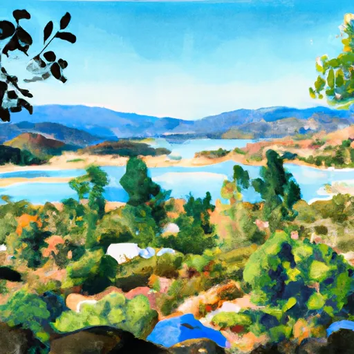 Silverwood Lake State Rec Area
|
||
 Camp Seely
|

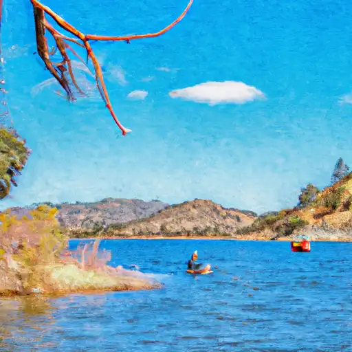 Silverwood Lake
 Lake Gregory County Regional Park
 Lake Gregory
 Glen Helen Lakes
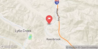
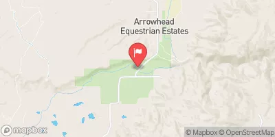
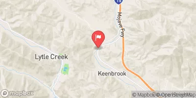
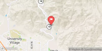
 Cedar Springs
 Mojave River Forks Regional Park
 Little League Western Park
 Al Guhin Park
 Lake Gregory Regional Park
 Blast Soccer Park