Chino Hills State Park
Leave a RatingLast Updated: February 22, 2026
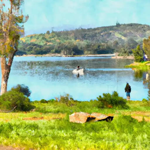
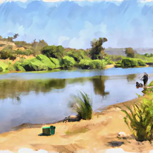
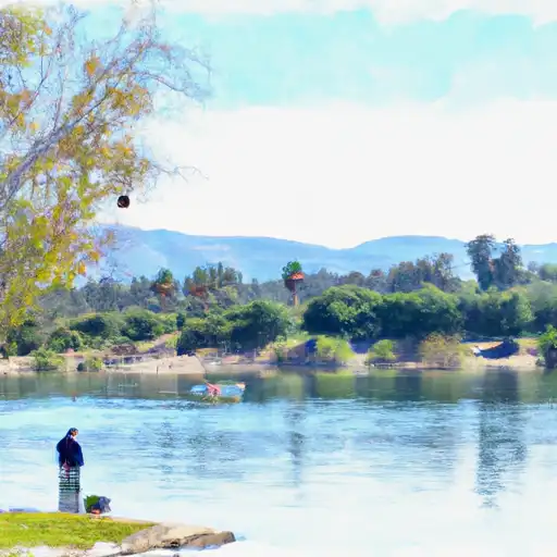
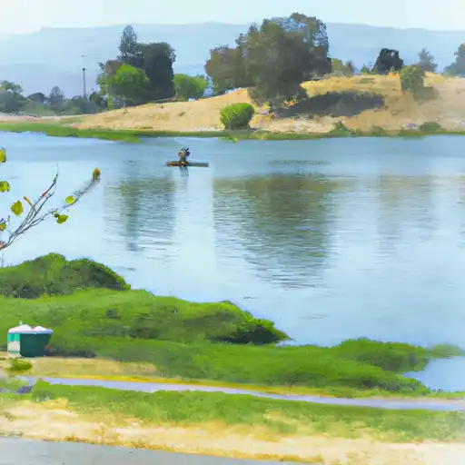
Chino Hills State Park is a 14,000-acre park located in Southern California.
Summary
It is home to a variety of wildlife, including coyotes, bobcats, and mule deer. There are many good reasons to visit the park, including hiking, biking, and horseback riding. The park offers over 90 miles of trails, ranging in difficulty from easy to strenuous.
One of the most popular attractions in the park is the Bane Canyon Loop Trail, which provides hikers with stunning views of the surrounding landscape. The park also has several picnic areas, a campground, and a nature center. Visitors can learn about the various plants and animals that call the park home and participate in educational programs and guided hikes.
One interesting fact about the park is that it is home to the Chino Hills Oil Field. The oil field was discovered in 1884 and is still in operation today. The park also features several historic structures, including the Bane House, which was built in 1906 and is now used as a museum.
The best time of year to visit Chino Hills State Park is in the spring and fall when the weather is mild and the wildflowers are in bloom. However, the park is open year-round, and visitors can enjoy a variety of activities during the summer and winter months as well.
Overall, Chino Hills State Park is a must-see destination for anyone who loves the outdoors and wants to explore the natural beauty of Southern California.
°F
°F
mph
Wind
%
Humidity
15-Day Weather Outlook
5-Day Hourly Forecast Detail
Park & Land Designation Reference
Large protected natural areas managed by the federal government to preserve significant landscapes, ecosystems, and cultural resources; recreation is allowed but conservation is the priority.
State Park
Public natural or recreational areas managed by a state government, typically smaller than national parks and focused on regional natural features, recreation, and education.
Local Park
Community-level parks managed by cities or counties, emphasizing recreation, playgrounds, sports, and green space close to populated areas.
Wilderness Area
The highest level of land protection in the U.S.; designated areas where nature is left essentially untouched, with no roads, structures, or motorized access permitted.
National Recreation Area
Areas set aside primarily for outdoor recreation (boating, hiking, fishing), often around reservoirs, rivers, or scenic landscapes; may allow more development.
National Conservation Area (BLM)
BLM-managed areas with special ecological, cultural, or scientific value; more protection than typical BLM land but less strict than Wilderness Areas.
State Forest
State-managed forests focused on habitat, watershed, recreation, and sustainable timber harvest.
National Forest
Federally managed lands focused on multiple use—recreation, wildlife habitat, watershed protection, and resource extraction (like timber)—unlike the stricter protections of national parks.
Wilderness
A protected area set aside to conserve specific resources—such as wildlife, habitats, or scientific features—with regulations varying widely depending on the managing agency and purpose.
Bureau of Land Management (BLM) Land
Vast federal lands managed for mixed use—recreation, grazing, mining, conservation—with fewer restrictions than national parks or forests.
Related References

 Brush Canyon Park
 Featherly Regional Park
 Bryant Ranch Park
 Ridgeline Park
 Toyon Park
 Irvine Lake (Santiago Res)
 Santa Ana River Lakes
 Anaheim Lake
 Tri-City Park lake