Santa Ana River Lakes Fishing
Community Reviews
Been here? Share the conditions.
Reviews, ratings & photos are added in the free Snoflo iOS app — rate a spot, tag the conditions, and your visit is verified by location. Add or manage your reviews from the app.
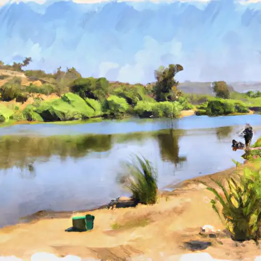
Santa Ana River Lakes
What's biting at Santa Ana River Lakes
Species commonly reported here -- tap any card for techniques, target seasons, and other waters where it's been caught.
Plan your trip down to the hour
Same weather feed Snoflo's iOS app uses -- updated continuously from NOAA / yr.no.
Next 5 days, hour by hour
Temperature line with weather symbols on top, snow + rain accumulation as columns, humidity as a dotted line.
5-day forecast table
Every 3 hours, broken out across temperature, snow, rain, humidity, and wind. Each cell is colour-coded relative to the column min/max so trends jump out at a glance.
| Time | Condition | Temp (°F) | Snow (in) | Rain (in) | Humidity (%) | Wind (mps) | Wind dir |
|---|---|---|---|---|---|---|---|
| Loading detailed forecast… | |||||||
15-day temperature & precipitation
Daily temperatures, snow, and rain projected over the next two weeks. Hover any point for the full breakdown.
Nearby streamflow
USGS streamgauges within reach of Santa Ana River Lakes -- updated continuously from the National Water Information System.
| Streamgauge | Discharge | View |
|---|---|---|
| Carbon C Bl Carbon Cyn Dam Ca | · | → |
| Fullerton C Bl Fullerton Dam Nr Brea Ca | 1 cfs | → |
| Brea C Bl Brea Dam Nr Fullerton Ca | 0 cfs | → |
| Santiago C A Santa Ana Ca | · | → |
| Santa Ana R A Santa Ana Ca | · | → |
| Santa Ana R Bl Prado Dam Ca | 90 cfs | → |
Plan a longer trip
The closest campgrounds, parks, boat launches, and reservoirs so a fishing run can grow into a weekend.
Campgrounds
- Chino Hills - State Park
- Best Time Rv
- Prado Regional Park
- Los Alamitos Army Military
- Bohelli Regional Park
- Seabreeze At Seal Beach Military
Parks
- Parque De Los Ninos
- Olive Hills Park
- Placentia Champions Sports Complex
- Peralta Park
- Yorba Linda Lakebed Park
- Richard Samp Park
Reservoirs
Boat launches
- Eucalyptus Park Road, San Dimas
- Huntington Beach
- Sunset Aquatic Marina
- Newport Dunes
- Larson's Shipyard
- Long Beach Marine Bureau (Davies)
Points of interest
- Autonetics Monument
- Kezy-Fm (Anaheim)
- Marine One
- Birthplace Of Richard Nixon
- Bradford House
- Kwiz-Fm (Santa Ana)
Paddle runs
- Gaging Station Below Spillway Of Cogswell Dam (Ne 1/4, Se 1/4, Sec 19, T2n, R10w) To Confluence With Nf San Gabriel River (Sw 1/4.Sw 1/4, Sec 15, T2n, R9w)
- Laurel Gulch To Confluence With Mineo Canyon (Se 1/4, Sw 1/4, Sec 17, T2n, R8w)
- North Fork - Confluence Of Soldier And Coldbrook Creeks (Se1/4,Sw1/4, Sec) 5, T2n,,R9w To Conflluence With West Fork Of San Gabriel (Sw 1/4,Sw1/4, Sec 17, T2n, R8w)
- San Mateo Wilderness Boundary To Nf Boundary With Camp Pendleton
- West Fork - Headwaters (Se 1/4, Ne 1/4, Sec 14, T2n, R12w) To Cogswell Reservoir (Ne 1/4, Sw 1/4, Sec 24, T2n, R9w
- Middle Fork - Commanche Campsite To Middle Fork Trailhead
Angling safety & ethics
- Know the regulations
- Check local fishing rules, seasons, size limits, and license requirements to ensure legal and sustainable angling.
- Handle fish responsibly
- Use wet hands, minimize air exposure, and release fish gently to improve survival rates when practicing catch-and-release.
- Choose the right gear
- Match your rod, line, and tackle to the species and conditions to increase success and reduce unnecessary harm to fish.
- Respect the waterway
- Avoid disturbing habitat, prevent bank erosion, and keep a safe distance from spawning areas to protect ecosystems.
- Keep it clean
- Pack out all line, hooks, bait containers, and trash. Discarded gear can injure wildlife and degrade waterways.
Set push alerts in the Snoflo app
Save Santa Ana River Lakes as a favorite, set a custom threshold (water temperature, streamflow, snowpack), and the iOS app will push the moment conditions cross.
About Santa Ana River Lakes
What fish species are found at Santa Ana River Lakes?
Snoflo tracks the species commonly reported at Santa Ana River Lakes -- see the Fish Species panel above for the live list with images and links to per-species pages.
How fresh is the weather data on this page?
The hourly forecast updates throughout the day from the NOAA / yr.no public feeds. Streamflow data comes live from USGS streamgauges, also refreshed continuously.
Can I get alerts when conditions change?
Yes -- alerts are managed through the Snoflo iOS app. Favorite this area, set a threshold (water temperature, streamflow, snowpack), and you'll get a push the moment it crosses.
Do I need a fishing license?
Yes. Check your state agency's regulations for license requirements, seasons, size limits, and any waterbody-specific rules before fishing Santa Ana River Lakes.
How do I get to Santa Ana River Lakes?
Tap Open in map in the hero above to center the Snoflo interactive map on this area, or grab the coordinates from the location facts panel.
Other angling spots near here
Snoflo-tracked fishing areas within driving distance of Santa Ana River Lakes.