Park

Kings Canyon National Park - Big Stump Entrance

California, USA Tulare-Buena Vista Lakes watershed 36.292°, -118.706°
Today high
--
Tonight low
--
Campgrounds
60
Trails
60
Points of interest
5
Loading current conditions…
Next 24 hours
Loading next 24 hours…

Community Reviews

Loading reviews…

Been here? Share the conditions.

Reviews, ratings & photos are added in the free Snoflo iOS app — rate a spot, tag the conditions, and your visit is verified by location. Add or manage your reviews from the app.

Get the app
Kings Canyon National Park - Big Stump Entrance -- California park
Kings Canyon National Park - Big Stump Entrance California · Tulare-Buena Vista Lakes watershed
About this park

Kings Canyon National Park - Big Stump Entrance

Kings Canyon National Park – Big Stump Entrance in California offers access to stunning granite cliffs, deep canyons, sequoia groves, and alpine scenery. Known for General Grant Tree, the "Nation’s Christmas Tree," and remnants of historic logging at Big Stump Grove, the park also features waterfalls, dark skies, and diverse wildlife like black bears and mule deer. Open year-round (some areas seasonal), entry is $35/vehicle (7-day pass). Top attractions include Grant Grove, Panoramic Point, and Zumwalt Meadow. Popular hikes: General Grant Loop and Big Stump Trail. Best visited late spring–fall for full access and clear weather.
StateCalifornia
WatershedTulare-Buena Vista Lakes
Latitude36.2920°
Longitude-118.7060°
In the park

Streamflow in Kings Canyon National Park - Big Stump Entrance

Live USGS discharge at streamgauges inside the park boundary.

GaugeFlow
Marble Fork Kaweah R Ab Horse C Nr Lodgepole Ca · 7.08 ft gage 5 cfs
In the park

Snowpack in Kings Canyon National Park - Big Stump Entrance

Current snow depth at SNOTEL stations inside the park boundary.

Snow stationSnowpack
Blackcap Basin Goes 1 in
In the park

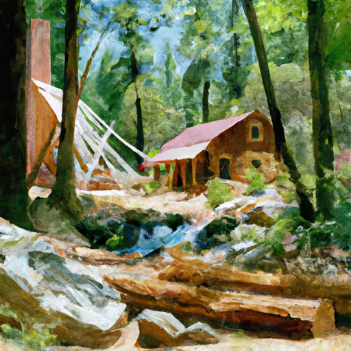
Trails in Kings Canyon National Park - Big Stump Entrance

Named trails whose route falls inside the park.

Alta Trail
9.8 mi · Hiking, Running
Army Pass Trail
1.9 mi · Hiking, Running
Atwell-Hockett Trail
8.9 mi · Hiking, Running
Bench Valley Trail
5.3 mi · Hiking, Running
Big Arroyo Trail
8.8 mi · Hiking, Running
Big Seki Loop
11.9 mi · Hiking, Running
Black Rock Pass Trail
7.8 mi · Hiking, Running
Blossom Lakes Trail
0.9 mi · Hiking, Running
Blue Canyon Trail
11.3 mi · Hiking, Running
Cahoon Rock Trail
2.7 mi · Hiking, Running
Cloud Canyon Trail
6.5 mi · Hiking, Running
Congress Trail
1.8 mi · Hiking, Running
Coyote Pass Trail
5.2 mi · Hiking, Running
Crabtree Lakes Trail
2.1 mi · Hiking, Running
Crown Basin Trail
1.4 mi · Hiking, Running
Deer Cove Trail
9.4 mi · Hiking, Running
Eagle Lake Trail
0.9 mi · Hiking, Running
East Lake Trail
2.7 mi · Hiking, Running
Evelyn Lake Trail
1.3 mi · Hiking, Running
Farewell Gap Trail
9.5 mi · Hiking, Running
Happy Gap Trail
4.3 mi · Hiking, Running
Harrison Pass Trail
0.7 mi · Hiking
High Sierra Trail
48.1 mi · Hiking, Horseback, Running
Hume Lake Trail
2.2 mi · Hiking, Running
John Dean Cutoff
2.7 mi · Hiking, Running
Kern-Kaweah Trail
7.9 mi · Hiking, Running
Lake Reflection Trail
1.5 mi · Hiking, Running
Lake South America Trail
5.2 mi · Hiking, Running
Lakes Trail
7.8 mi · Hiking, Running
Lewis Creek Trail
10.0 mi · Hiking, Running
Lone Pine Creek Trail
2.0 mi · Hiking, Running
Lost Canyon Trail
5.3 mi · Hiking, Horseback, Running
Middle Fork Kaweah Trail
11.5 mi · Hiking, Running
Mitchell Peak Trail
2.9 mi · Hiking, Running
Mosquito Lakes Trail
1.4 mi · Hiking, Running
Over The Hill Trail
2.0 mi · Hiking, Running
Panther Gap Trail
1.0 mi · Hiking, Running
Rae Lakes Loop
24.8 mi · Hiking, Horseback, Running
Ranger Lake Trail
0.2 mi · Hiking, Running
Rock Creek Lake Trail
3.3 mi · Hiking, Horseback, Running
Rogers Creek Trail
1.9 mi · Hiking, Running
Seville Lake Trail
1.2 mi · Hiking, Running
Shotgun Pass Trail
4.1 mi · Hiking, Running
Silliman Pass Trail
7.9 mi · Hiking, Running
Soda Creek Trail
6.7 mi · Hiking, Horseback, Running
Soldier Lake Trail
2.7 mi · Hiking, Running
Spanish Lake Loop
6.2 mi · Hiking, Running
Sugarloaf Valley Trail
7.5 mi · Hiking, Running
Tharp's Log Trail
1.1 mi · Hiking, Running
Tokopah Falls Trail
1.9 mi · Hiking, Running
Trail Of The Sequoias
2.7 mi · Hiking, Running
Twin Lakes Trail
5.0 mi · Hiking, Running
Tyndall Creek Ranger Station Trail
0.6 mi · Hiking, Running
Upper Geraldine Trail
0.5 mi · Hiking, Running
Upper Kern - Tyndall Cutoff
3.1 mi · Hiking, Running
Upper Kern Canyon Trail
4.7 mi · Hiking, Running
Upper Rock Creek Trail
1.6 mi · Hiking, Running
White Chief Trail
3.7 mi · Hiking, Running
Wolverton Cutoff Trail
3.8 mi · Hiking, Running
Wuksachi Trail
1.8 mi · Hiking, Running
In the park

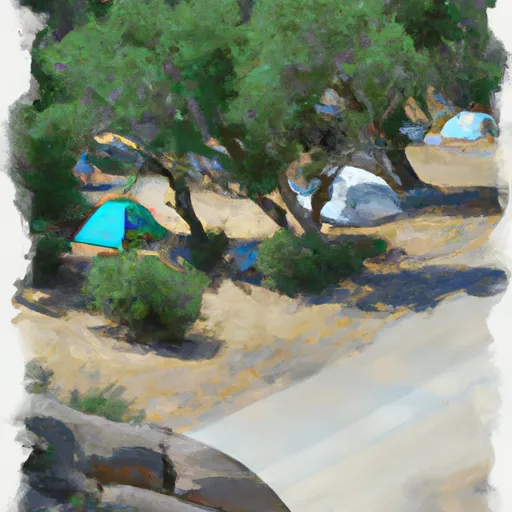
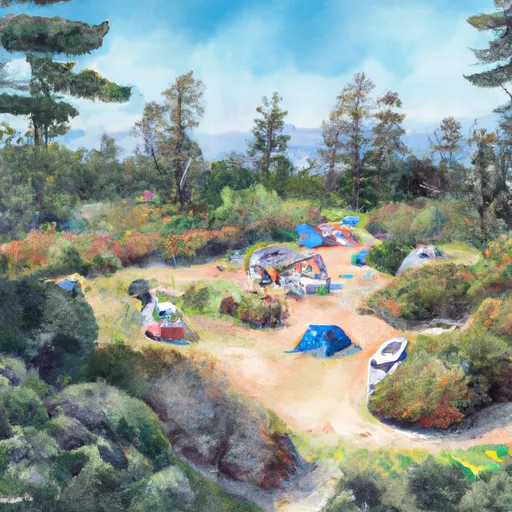
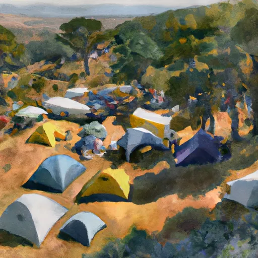
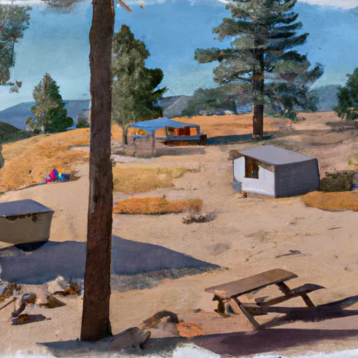
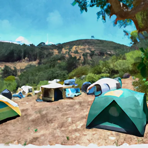
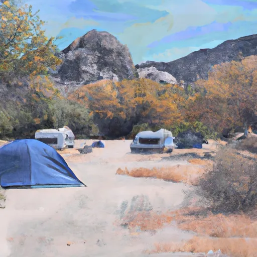
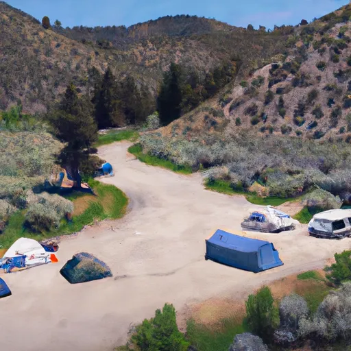
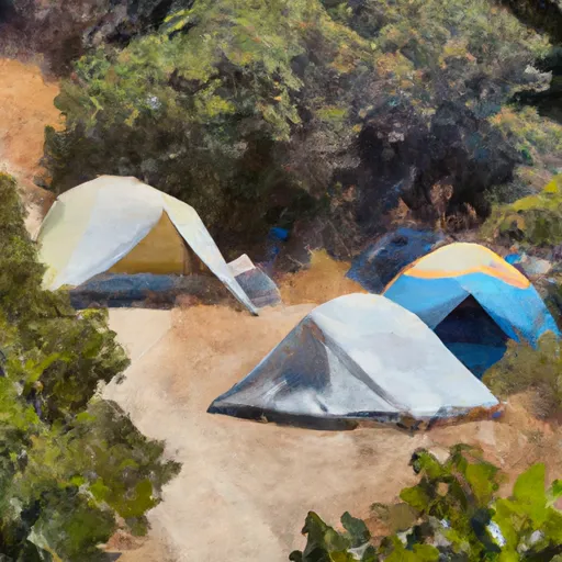
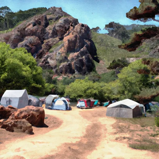
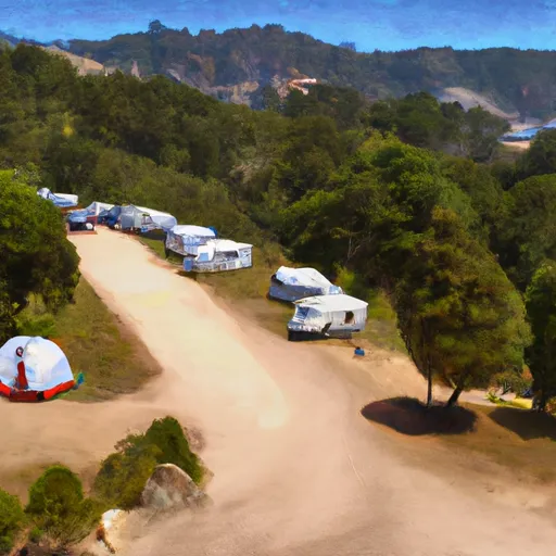
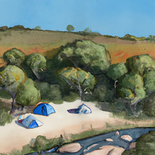
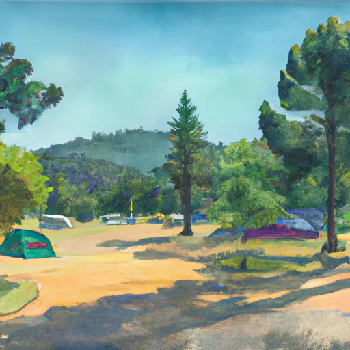
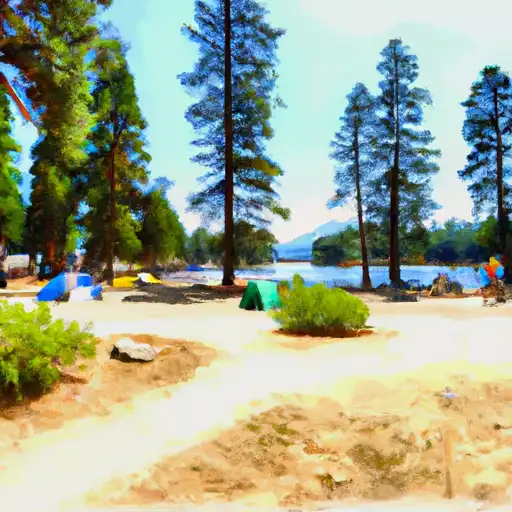
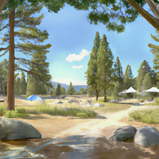
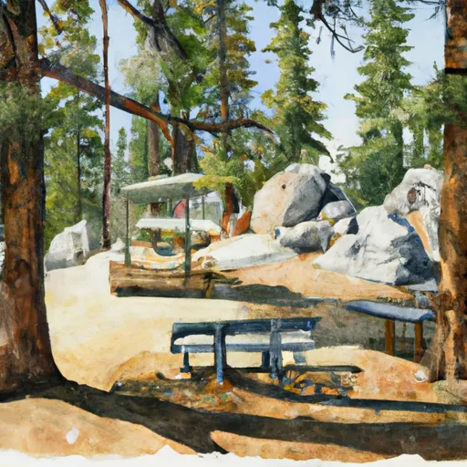
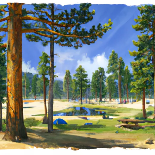
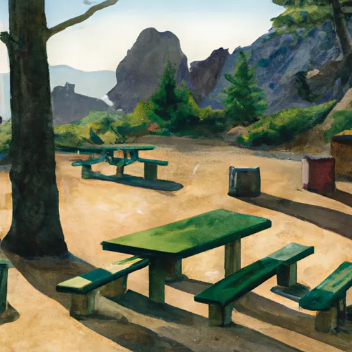
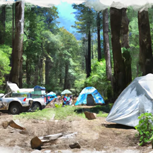
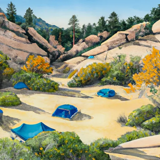
Camping in Kings Canyon National Park - Big Stump Entrance

Campgrounds inside the park, with today's conditions score.

A Aspen Hollow Group Campground
Aspen Hollow Group Campground
A Atwell Mill
Atwell Mill
A Atwell Mill - Sequoia National Park
Atwell Mill - Sequoia National Park
A Azalea
Azalea
A Azalea - Kings Canyon National Park
Azalea - Kings Canyon National Park
A Azalea Campground
Azalea Campground
B Bearpaw Meadow High Sierra Camp
Bearpaw Meadow High Sierra Camp
B Big Campsite (6 Tents)
Big Campsite (6 Tents)
B Big Meadow Cabin
Big Meadow Cabin
B Buck Hill Campsite
Buck Hill Campsite
B Buck Rock
Buck Rock
B Buckeye Flat
Buckeye Flat
B Buckeye Flat - Sequoia National Park
Buckeye Flat - Sequoia National Park
C Campsite (3 Tents)
Campsite (3 Tents)
C Campsite (5-6 Tents)
Campsite (5-6 Tents)
C Campsite M
Campsite M
C Canyon View
Canyon View
C Canyon View Campground
Canyon View Campground
C Cold Springs - Sequoia National Park
Cold Springs - Sequoia National Park
C Convict Flat
Convict Flat
C Convict Flat Campground
Convict Flat Campground
C Corral Campsite (4 Tents)
Corral Campsite (4 Tents)
C Cove Camp Campground
Cove Camp Campground
C Cove Group Campground
Cove Group Campground
C Creek Side Campsite (3-4 Tents)
Creek Side Campsite (3-4 Tents)
C Crystal Springs - Kings Canyon National Park
Crystal Springs - Kings Canyon National Park
C Crystal Springs Campground
Crystal Springs Campground
D Dazzle Campsite (5-7 Tents)
Dazzle Campsite (5-7 Tents)
D Dorst  Creek - Sequoia National Park
Dorst Creek - Sequoia National Park
D Dorst Creek
Dorst Creek
E Eastern Big Meadow Road
Eastern Big Meadow Road
E Eshom Creek Campground
Eshom Creek Campground
F Fir Campground
Fir Campground
F Fir Group Campground
Fir Group Campground
H Hamilton Creek Side Campsite
Hamilton Creek Side Campsite
H Hidden Altar
Hidden Altar
H High-Back Campsite (2-3 Tents)
High-Back Campsite (2-3 Tents)
H Hillside Campsite
Hillside Campsite
H Horse Corral Pack Station
Horse Corral Pack Station
H Hume Lake
Hume Lake
H Hume Lake Campground
Hume Lake Campground
H Hume Lake Campsite 33
Hume Lake Campsite 33
H Hume Lake Campsite 34
Hume Lake Campsite 34
H Hume Lake Campsite 35
Hume Lake Campsite 35
H Hume Lake Campsite 36
Hume Lake Campsite 36
H Hume Lake Campsite 37
Hume Lake Campsite 37
H Hume Lake Campsite 38
Hume Lake Campsite 38
H Hume Lake Campsite 39
Hume Lake Campsite 39
H Hume Lake Campsite 40
Hume Lake Campsite 40
H Hume Lake Campsite 41
Hume Lake Campsite 41
L Lakeside Bluff Campsites
Lakeside Bluff Campsites
L Lakeside Campsites
Lakeside Campsites
L Landslide
Landslide
L Landslide Campground
Landslide Campground
L Lodgepole - Sequoia National Park
Lodgepole - Sequoia National Park
L Log Benches Campsite
Log Benches Campsite
L Logger Flat Group Campground
Logger Flat Group Campground
L Lower Paradise Valley
Lower Paradise Valley
L Lower Rock Creek Camp Area 2. 9,550ft. Bear Box.
Lower Rock Creek Camp Area 2. 9,550ft. Bear Box.
M Meadow View Campsite (1-2 Tents)
Meadow View Campsite (1-2 Tents)
In the park

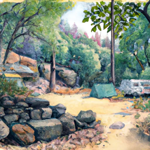
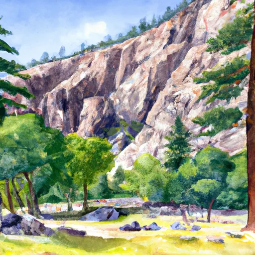
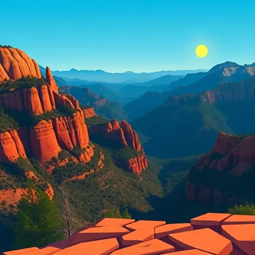
Points of interest in Kings Canyon National Park - Big Stump Entrance

Landmarks and points of interest inside the park boundary.

B Buck Rock Lookout
Buck Rock Lookout
I Indian Basin Grove
Indian Basin Grove
J Junction View
Junction View
M Marble Mountain View
Marble Mountain View
M Mcgee Overlook
Mcgee Overlook
Detailed forecast

Plan your visit down to the hour

Same weather feed Snoflo's iOS app uses -- updated continuously from NOAA / yr.no.

Hourly detail

Next 5 days, hour by hour

Temperature line with weather symbols on top, snow + rain accumulation as columns, humidity as a dotted line.

Loading hourly forecast…
Deep dive

5-day forecast table

Every 3 hours, broken out across temperature, snow, rain, humidity, and wind.

TimeConditionTemp (°F)Snow (in)Rain (in)Humidity (%)Wind (mps)Wind dir
Loading detailed forecast…
Long-term outlook

15-day temperature & precipitation

Daily temperatures, snow, and rain projected over the next two weeks.

Loading 15-day outlook…

Responsible recreation & Leave No Trace

Know before you go
Check the operator's site for hours, permit requirements, seasonal closures, and fire restrictions before heading out.
Stay on trail
Stick to marked paths to protect vegetation, prevent erosion, and avoid disturbing wildlife habitat.
Respect wildlife
Observe from a distance, never feed wildlife, and store food securely if camping is permitted on-site.
Pack it in, pack it out
Carry out all trash, food scraps, and gear. Many parks have limited or no trash service.
Leave what you find
Don't take rocks, plants, or artifacts. They make the park what it is for the next visitor.

Set push alerts in the Snoflo app

Save Kings Canyon National Park - Big Stump Entrance as a favorite, set a custom threshold (precipitation, freezing temperatures, fire-restriction days), and the iOS app will push the moment conditions cross.

FAQ

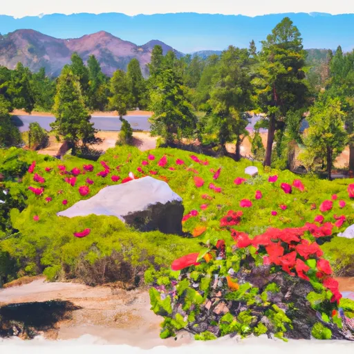
About Kings Canyon National Park - Big Stump Entrance

What can I do at Kings Canyon National Park - Big Stump Entrance?

Most Snoflo-tracked parks support hiking, picnicking, and wildlife viewing. Check the operator's site for activity-specific rules (camping, fishing, paddling, hunting).

How fresh is the weather data?

The hourly forecast updates throughout the day from NOAA / yr.no. Streamflow comes live from USGS streamgauges.

When is the best time to visit?

Use the 15-day temperature & precipitation outlook on this page to plan -- pick a window with comfortable temperatures and low precipitation.

How do I get to Kings Canyon National Park - Big Stump Entrance?

Tap Directions in the hero above to open driving directions in Google Maps, or Open in map to center the Snoflo interactive map on the park.

Can I get alerts when conditions change?

Yes -- alerts are managed in the Snoflo iOS app. Favorite this park, set a threshold (temperature, precipitation), and you'll get a push the moment it crosses.

Land designation

Park & land designation reference

A quick legend for the federal and state land categories Snoflo tracks. Each designation comes with different rules around access, recreation, and resource extraction.

National Park
Large protected natural areas managed by the federal government to preserve significant landscapes, ecosystems, and cultural resources; recreation is allowed but conservation is the priority.
State Park
Public natural or recreational areas managed by a state government, typically smaller than national parks and focused on regional natural features, recreation, and education.
Local Park
Community-level parks managed by cities or counties, emphasizing recreation, playgrounds, sports, and green space close to populated areas.
Wilderness Area
The highest level of land protection in the U.S.; designated areas where nature is left essentially untouched, with no roads, structures, or motorized motorized access permitted.
National Recreation Area
Areas set aside primarily for outdoor recreation (boating, hiking, fishing, often around reservoirs, rivers, or scenic landscapes); may allow more development.
National Conservation Area (BLM)
BLM-managed areas with special ecological, cultural, or scientific value; more protection than typical BLM land but less strict than Wilderness Areas.
State Forest
State-managed forests focused on habitat, watershed, recreation, and sustainable timber harvest.
Bureau of Land Management (BLM) Land
Vast federal lands managed for mixed use -- recreation, grazing, mining, conservation -- with fewer restrictions than national parks or forests.