Community Reviews
Been here? Share the conditions.
Reviews, ratings & photos are added in the free Snoflo iOS app — rate a spot, tag the conditions, and your visit is verified by location. Add or manage your reviews from the app.
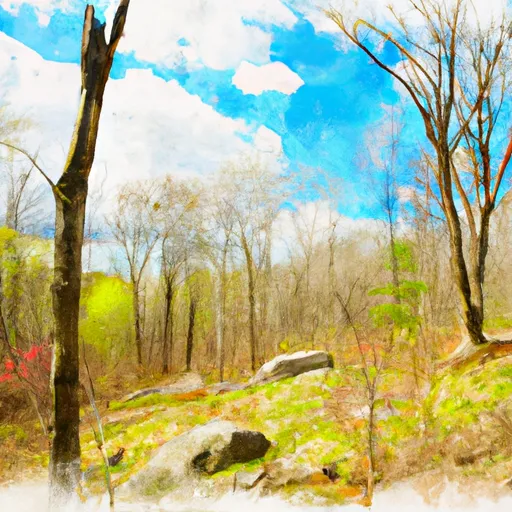
Tunxis State Forest
One of the main attractions of Tunxis State Forest is its extensive trail network, which spans over 9,000 acres of woodland. These trails cater to various activities such as hiking, mountain biking, horseback riding, and cross-country skiing, offering visitors a chance to explore the forest's diverse landscapes and wildlife habitats.
Within the forest, there are several points of interest that are worth exploring. One notable attraction is the Nepaug Reservoir, a peaceful and scenic spot that offers opportunities for fishing and boating. Adjacent to the reservoir, visitors can find the Nepaug State Forest, which provides additional trails and scenic vistas.
Tunxis State Forest is also home to the Tunxis Mountain, a popular destination for hikers. Rising to an elevation of approximately 1,200 feet, the mountain rewards hikers with stunning panoramic views of the surrounding countryside.
Moreover, the forest is known for its rich history. It was once a bustling hub of charcoal production during the 19th century, and remnants of this industry can still be found scattered throughout the area. These historical artifacts provide a glimpse into the region's past and add an intriguing element to any visit.
In terms of the best time to visit Tunxis State Forest, each season offers its own unique beauty and recreational opportunities. During the spring and summer months, the forest is lush and vibrant, showcasing an abundance of wildflowers and a variety of bird species. Fall brings a spectacular display of autumn foliage, as the forest transforms into a vibrant tapestry of red, orange, and gold. Winter offers opportunities for cross-country skiing and snowshoeing, as well as peaceful walks through a snow-covered landscape.
To ensure accuracy, it is recommended to verify the information provided by cross-referencing multiple independent sources such as official government websites, travel guides, and visitor reviews.
Trails in Tunxis State Forest
Named trails whose route falls inside the park.
Plan your visit down to the hour
Same weather feed Snoflo's iOS app uses -- updated continuously from NOAA / yr.no.
Next 5 days, hour by hour
Temperature line with weather symbols on top, snow + rain accumulation as columns, humidity as a dotted line.
5-day forecast table
Every 3 hours, broken out across temperature, snow, rain, humidity, and wind.
| Time | Condition | Temp (°F) | Snow (in) | Rain (in) | Humidity (%) | Wind (mps) | Wind dir |
|---|---|---|---|---|---|---|---|
| Loading detailed forecast… | |||||||
15-day temperature & precipitation
Daily temperatures, snow, and rain projected over the next two weeks.
Responsible recreation & Leave No Trace
- Know before you go
- Check the operator's site for hours, permit requirements, seasonal closures, and fire restrictions before heading out.
- Stay on trail
- Stick to marked paths to protect vegetation, prevent erosion, and avoid disturbing wildlife habitat.
- Respect wildlife
- Observe from a distance, never feed wildlife, and store food securely if camping is permitted on-site.
- Pack it in, pack it out
- Carry out all trash, food scraps, and gear. Many parks have limited or no trash service.
- Leave what you find
- Don't take rocks, plants, or artifacts. They make the park what it is for the next visitor.
Set push alerts in the Snoflo app
Save Tunxis State Forest as a favorite, set a custom threshold (precipitation, freezing temperatures, fire-restriction days), and the iOS app will push the moment conditions cross.
About Tunxis State Forest
What can I do at Tunxis State Forest?
Most Snoflo-tracked parks support hiking, picnicking, and wildlife viewing. Check the operator's site for activity-specific rules (camping, fishing, paddling, hunting).
How fresh is the weather data?
The hourly forecast updates throughout the day from NOAA / yr.no. Streamflow comes live from USGS streamgauges.
When is the best time to visit?
Use the 15-day temperature & precipitation outlook on this page to plan -- pick a window with comfortable temperatures and low precipitation.
How do I get to Tunxis State Forest?
Tap Directions in the hero above to open driving directions in Google Maps, or Open in map to center the Snoflo interactive map on the park.
Can I get alerts when conditions change?
Yes -- alerts are managed in the Snoflo iOS app. Favorite this park, set a threshold (temperature, precipitation), and you'll get a push the moment it crosses.
Park & land designation reference
A quick legend for the federal and state land categories Snoflo tracks. Each designation comes with different rules around access, recreation, and resource extraction.
- National Park
- Large protected natural areas managed by the federal government to preserve significant landscapes, ecosystems, and cultural resources; recreation is allowed but conservation is the priority.
- State Park
- Public natural or recreational areas managed by a state government, typically smaller than national parks and focused on regional natural features, recreation, and education.
- Local Park
- Community-level parks managed by cities or counties, emphasizing recreation, playgrounds, sports, and green space close to populated areas.
- Wilderness Area
- The highest level of land protection in the U.S.; designated areas where nature is left essentially untouched, with no roads, structures, or motorized motorized access permitted.
- National Recreation Area
- Areas set aside primarily for outdoor recreation (boating, hiking, fishing, often around reservoirs, rivers, or scenic landscapes); may allow more development.
- National Conservation Area (BLM)
- BLM-managed areas with special ecological, cultural, or scientific value; more protection than typical BLM land but less strict than Wilderness Areas.
- State Forest
- State-managed forests focused on habitat, watershed, recreation, and sustainable timber harvest.
- Bureau of Land Management (BLM) Land
- Vast federal lands managed for mixed use -- recreation, grazing, mining, conservation -- with fewer restrictions than national parks or forests.