


Griswold Conservation Area
Last Updated: May 6, 2026
Leave a Rating°F
°F
mph
Wind
%
Humidity
The Griswold Conservation Area is a 280-acre natural area located in the state of Wisconsin.
Summary
The area is known for its scenic beauty and is open to the public year-round. There are several good reasons to visit the Griswold Conservation Area, including hiking, birdwatching, and wildlife viewing. The area is home to a variety of wildlife, including deer, foxes, and birds of prey.
One of the main points of interest in the Griswold Conservation Area is the oak savanna habitat, which is a rare ecosystem in Wisconsin. Visitors can also see a variety of wildflowers and grasses throughout the area. The conservation area also has several hiking trails, including a loop trail that is approximately two miles long.
Interesting facts about the Griswold Conservation Area include that it was once used as farmland and was restored to its natural state in the 1990s. Additionally, the area is home to several species of rare and endangered plants and animals.
The best time of year to visit the Griswold Conservation Area is in the spring and summer when the wildflowers are in bloom and the weather is mild. However, the area is open year-round, and visitors can enjoy fall foliage and winter snowshoeing.
Overall, the Griswold Conservation Area is a beautiful natural area that offers visitors a chance to connect with nature and experience a unique ecosystem in Wisconsin.
15-Day Long Term Forecast
5-Day Hourly Forecast Detail
Park & Land Designation Reference
Large protected natural areas managed by the federal government to preserve significant landscapes, ecosystems, and cultural resources; recreation is allowed but conservation is the priority.
State Park
Public natural or recreational areas managed by a state government, typically smaller than national parks and focused on regional natural features, recreation, and education.
Local Park
Community-level parks managed by cities or counties, emphasizing recreation, playgrounds, sports, and green space close to populated areas.
Wilderness Area
The highest level of land protection in the U.S.; designated areas where nature is left essentially untouched, with no roads, structures, or motorized access permitted.
National Recreation Area
Areas set aside primarily for outdoor recreation (boating, hiking, fishing), often around reservoirs, rivers, or scenic landscapes; may allow more development.
National Conservation Area (BLM)
BLM-managed areas with special ecological, cultural, or scientific value; more protection than typical BLM land but less strict than Wilderness Areas.
State Forest
State-managed forests focused on habitat, watershed, recreation, and sustainable timber harvest.
National Forest
Federally managed lands focused on multiple use—recreation, wildlife habitat, watershed protection, and resource extraction (like timber)—unlike the stricter protections of national parks.
Wilderness
A protected area set aside to conserve specific resources—such as wildlife, habitats, or scientific features—with regulations varying widely depending on the managing agency and purpose.
Bureau of Land Management (BLM) Land
Vast federal lands managed for mixed use—recreation, grazing, mining, conservation—with fewer restrictions than national parks or forests.
Related References
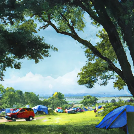
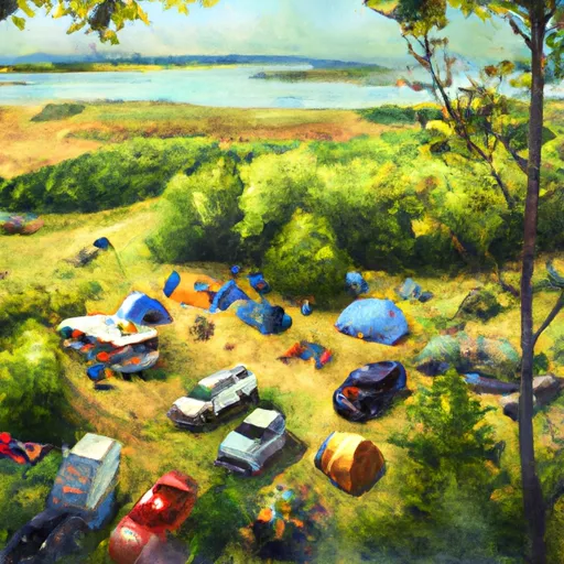
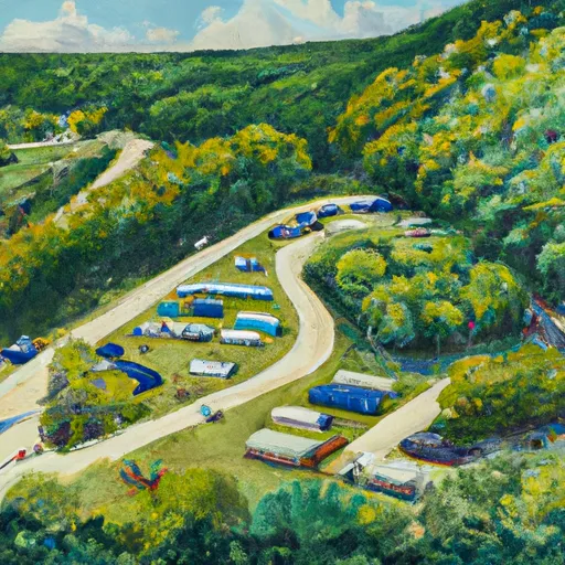
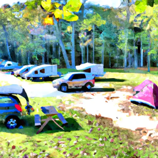
Area Campgrounds
| Location | Reservations | Toilets |
|---|---|---|
 Lake Taylorville City Campground
|
||
 Spitler Group Camp
|
||
 ski club campground
|
||
 Faries Park
|
 Lincoln Trail Homestead State Memorial
 Calamus Lake Nature Preserve
 Rock Springs Center Macon County Conservation District
 Sand Creek Recreation Area
 Sanders Park