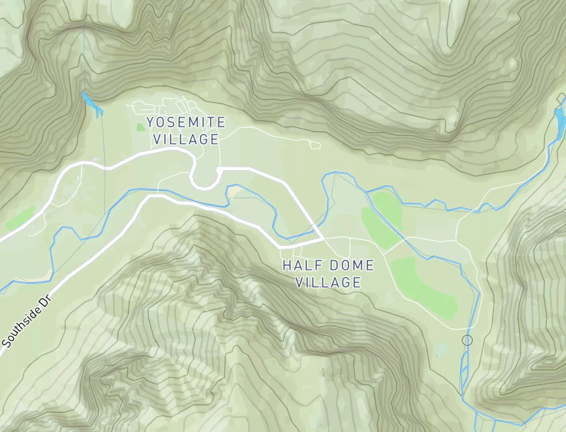

Jeorse Park
Last Updated: May 3, 2026
Leave a RatingNearby: Block Stadium Park Marktown Park
°F
°F
mph
Wind
%
Humidity
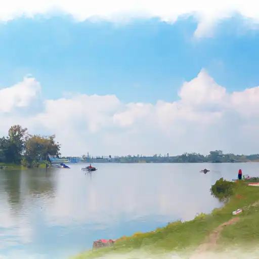
Jeorse Park, located in East Chicago, Indiana along Lake Michigan, is known for its sandy beach and lakeside views rather than natural formations or wildlife.
Summary
Open daily from dawn to dusk with free entry, it's best visited in summer for swimming, sunbathing, and urban beach outings. While not a wilderness destination, it offers a scenic shoreline, picnic areas, and occasional events. There are no hiking trails, waterfalls, or dark skies, but its proximity to Chicago makes it a convenient waterfront getaway. Lifeguards are on duty seasonally, and water quality is monitored—check advisories before swimming.
15-Day Long Term Forecast
5-Day Hourly Forecast Detail
Park & Land Designation Reference
Large protected natural areas managed by the federal government to preserve significant landscapes, ecosystems, and cultural resources; recreation is allowed but conservation is the priority.
State Park
Public natural or recreational areas managed by a state government, typically smaller than national parks and focused on regional natural features, recreation, and education.
Local Park
Community-level parks managed by cities or counties, emphasizing recreation, playgrounds, sports, and green space close to populated areas.
Wilderness Area
The highest level of land protection in the U.S.; designated areas where nature is left essentially untouched, with no roads, structures, or motorized access permitted.
National Recreation Area
Areas set aside primarily for outdoor recreation (boating, hiking, fishing), often around reservoirs, rivers, or scenic landscapes; may allow more development.
National Conservation Area (BLM)
BLM-managed areas with special ecological, cultural, or scientific value; more protection than typical BLM land but less strict than Wilderness Areas.
State Forest
State-managed forests focused on habitat, watershed, recreation, and sustainable timber harvest.
National Forest
Federally managed lands focused on multiple use—recreation, wildlife habitat, watershed protection, and resource extraction (like timber)—unlike the stricter protections of national parks.
Wilderness
A protected area set aside to conserve specific resources—such as wildlife, habitats, or scientific features—with regulations varying widely depending on the managing agency and purpose.
Bureau of Land Management (BLM) Land
Vast federal lands managed for mixed use—recreation, grazing, mining, conservation—with fewer restrictions than national parks or forests.
Related References

 Block Stadium Park
 Marktown Park
 Tod Park
 Eje Park
 Dupont East Chicago Natural Area
 Powderhorn Lake
 Gary Harbor
 Green Lake
 Deep River
 South Lagoon
 Continue with Snoflo Premium