

Alley Spring State Forest
Last Updated: May 1, 2026
Leave a Rating°F
°F
mph
Wind
%
Humidity
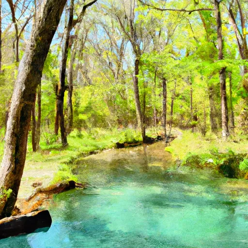
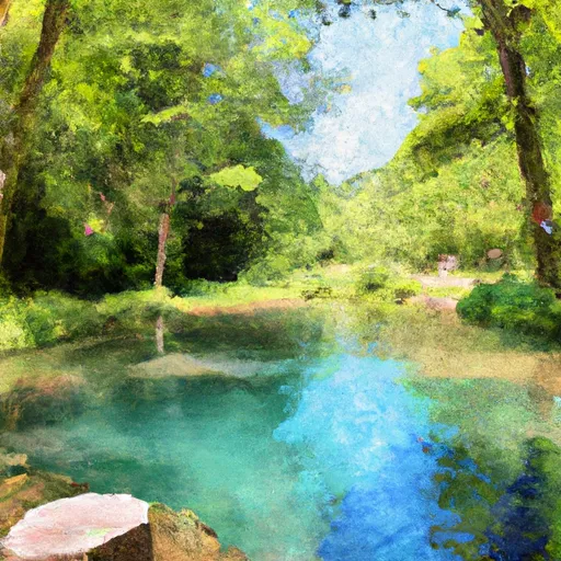
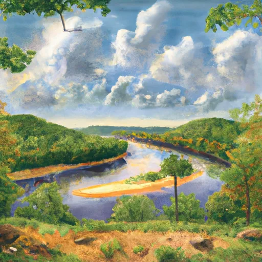
Alley Spring State Forest is a popular tourist destination located in the Ozarks region of Missouri.
Summary
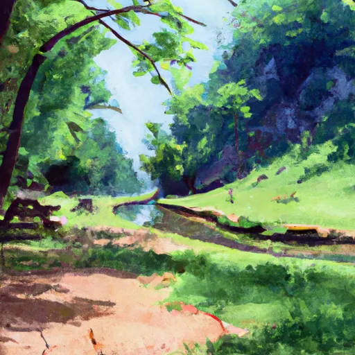
The forest covers an area of 1,347 acres and is known for its diverse ecosystem, numerous hiking trails, and historical landmarks.
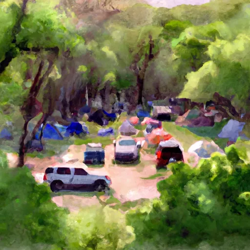
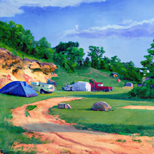
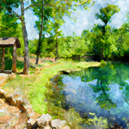
One of the main attractions of the forest is the Alley Spring Mill, a historic grist mill built in the 19th century. Visitors can take a guided tour of the mill and learn about its history and operation. Other points of interest in the forest include the Blue Spring, a clear blue natural spring that feeds into the Jacks Fork River, and the Alley Spring Campground, which offers camping facilities and recreational activities such as fishing and hiking.
The area is also known for its diverse wildlife, including white-tailed deer, turkey, and a variety of bird species. Visitors can take guided nature walks to learn about the forest's flora and fauna.
The best time to visit Alley Spring State Forest is in the spring or fall when the weather is mild and the foliage is at its peak. Summer is also a popular time for camping and outdoor activities, but the heat and humidity can be intense.
In summary, Alley Spring State Forest is a beautiful and historic destination in Missouri that offers a variety of outdoor activities and attractions for visitors to enjoy. From hiking and camping to guided tours and wildlife watching, there is something for everyone in this picturesque forest.
15-Day Long Term Forecast
5-Day Hourly Forecast Detail
Park & Land Designation Reference
Large protected natural areas managed by the federal government to preserve significant landscapes, ecosystems, and cultural resources; recreation is allowed but conservation is the priority.
State Park
Public natural or recreational areas managed by a state government, typically smaller than national parks and focused on regional natural features, recreation, and education.
Local Park
Community-level parks managed by cities or counties, emphasizing recreation, playgrounds, sports, and green space close to populated areas.
Wilderness Area
The highest level of land protection in the U.S.; designated areas where nature is left essentially untouched, with no roads, structures, or motorized access permitted.
National Recreation Area
Areas set aside primarily for outdoor recreation (boating, hiking, fishing), often around reservoirs, rivers, or scenic landscapes; may allow more development.
National Conservation Area (BLM)
BLM-managed areas with special ecological, cultural, or scientific value; more protection than typical BLM land but less strict than Wilderness Areas.
State Forest
State-managed forests focused on habitat, watershed, recreation, and sustainable timber harvest.
National Forest
Federally managed lands focused on multiple use—recreation, wildlife habitat, watershed protection, and resource extraction (like timber)—unlike the stricter protections of national parks.
Wilderness
A protected area set aside to conserve specific resources—such as wildlife, habitats, or scientific features—with regulations varying widely depending on the managing agency and purpose.
Bureau of Land Management (BLM) Land
Vast federal lands managed for mixed use—recreation, grazing, mining, conservation—with fewer restrictions than national parks or forests.
Related References
Area Campgrounds
| Location | Reservations | Toilets |
|---|---|---|
 Alley Spring
|
||
 Alley Spring - Ozark National Scenic River
|
||
 Bay Creek
|
||
 Shawnee Creek
|
||
 Two Rivers - Ozark National Scenic River
|
||
 Jerktail Landing
|
 Alley Spring Natural Area
 Conservation Area Angeline
 Sunklands Conservation Area
 Round Spring State Park
 Conservation Area Rocky Creek
 Crane Lake Recreation Area
 Beaver Lake Recreation Area
 Howell Lake
 Parole Lake
 Timberline Lake