

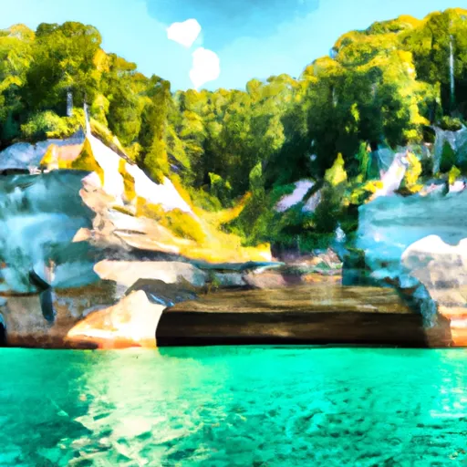
Pictured Rocks National Lakeshore
Last Updated: May 6, 2026
Leave a Rating°F
°F
mph
Wind
%
Humidity
Pictured Rocks National Lakeshore is not located in the state of Indiana, but rather in Michigan.
Summary
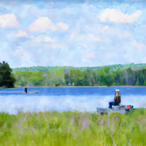
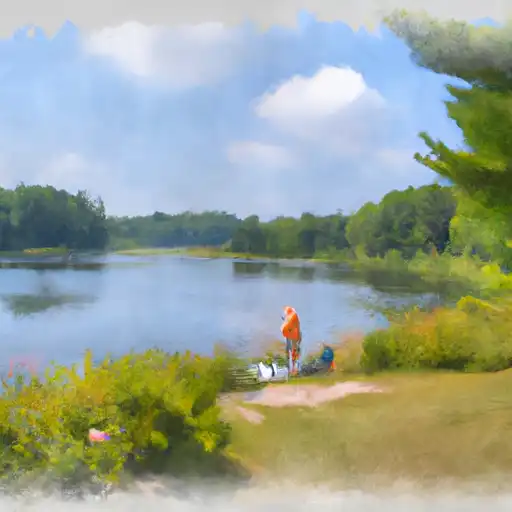
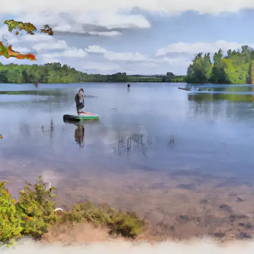
Pictured Rocks National Lakeshore is a scenic area located along the shore of Lake Superior in Michigan's Upper Peninsula. The park offers stunning views of colorful sandstone cliffs, pristine beaches, and unique rock formations. Visitors can take a boat tour to see the cliffs from the water or hike along the park's many trails.
Some of the park's most popular attractions include the Chapel Rock and Beach, Miners Castle, and the Au Sable Light Station. The park also features numerous waterfalls, including Munising Falls and Miners Falls.
Interesting facts about Pictured Rocks National Lakeshore include that the sandstone cliffs were formed over 500 million years ago and that the park is home to over 300 species of birds. The park also has a rich history, with evidence of Native American settlements dating back over 5,000 years.
The best time of year to visit Pictured Rocks National Lakeshore is during the summer and fall months when the weather is mild and the park's many trails are accessible. However, visitors should be prepared for crowds during peak season. Spring and winter can also be beautiful times to visit, but some areas of the park may be closed or inaccessible due to snow and ice.
15-Day Long Term Forecast
5-Day Hourly Forecast Detail
Park & Land Designation Reference
Large protected natural areas managed by the federal government to preserve significant landscapes, ecosystems, and cultural resources; recreation is allowed but conservation is the priority.
State Park
Public natural or recreational areas managed by a state government, typically smaller than national parks and focused on regional natural features, recreation, and education.
Local Park
Community-level parks managed by cities or counties, emphasizing recreation, playgrounds, sports, and green space close to populated areas.
Wilderness Area
The highest level of land protection in the U.S.; designated areas where nature is left essentially untouched, with no roads, structures, or motorized access permitted.
National Recreation Area
Areas set aside primarily for outdoor recreation (boating, hiking, fishing), often around reservoirs, rivers, or scenic landscapes; may allow more development.
National Conservation Area (BLM)
BLM-managed areas with special ecological, cultural, or scientific value; more protection than typical BLM land but less strict than Wilderness Areas.
State Forest
State-managed forests focused on habitat, watershed, recreation, and sustainable timber harvest.
National Forest
Federally managed lands focused on multiple use—recreation, wildlife habitat, watershed protection, and resource extraction (like timber)—unlike the stricter protections of national parks.
Wilderness
A protected area set aside to conserve specific resources—such as wildlife, habitats, or scientific features—with regulations varying widely depending on the managing agency and purpose.
Bureau of Land Management (BLM) Land
Vast federal lands managed for mixed use—recreation, grazing, mining, conservation—with fewer restrictions than national parks or forests.
Related References
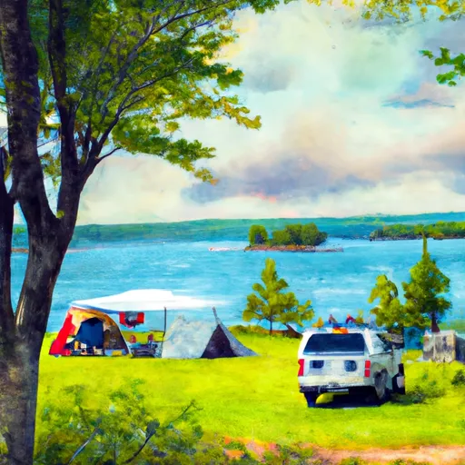
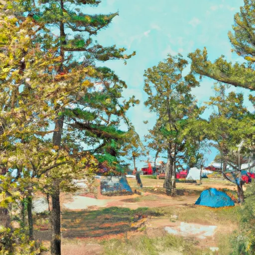 Munising Tourist Park
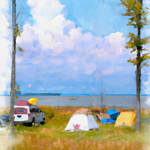
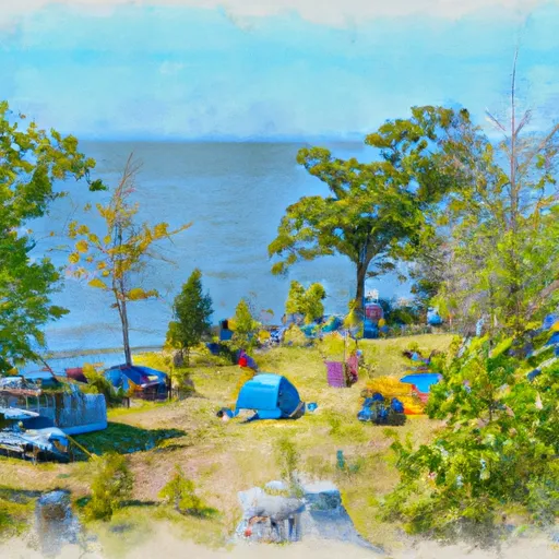
 Channel Marker Campsite on Grand Island
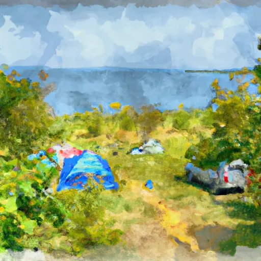
 Bermuda Campsite on Grand Island
 Loon Call Campsite on Grand Island
 Murray Bay Group Campsite on Grand Island
 Murray Bay Group Site
 Bay Furnace Recreation Area
 Wilderness Rock River Canyon
 Wilderness Beaver Basin
 Wilderness Big Island Lake
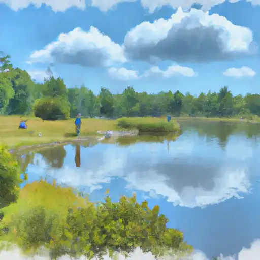 Cox Pond
 Moccasin Lake
 Petes Lake
 Skeels Lake
 Thunder Lake