Paul Bunyan State Forest
Leave a RatingLast Updated: February 11, 2026
Paul Bunyan State Forest is a vast, 1.4 million-acre forested area located in the state of Minnesota.
Summary
It is a popular destination for outdoor enthusiasts, offering a wide range of recreational activities such as hiking, camping, fishing, hunting, and snowmobiling.
One of the main attractions of the Paul Bunyan State Forest is the Lost Forty, a 144-acre stand of old-growth red and white pine trees that escaped logging in the late 19th century. The forest also features numerous lakes and rivers, including the Crow Wing River, which is popular for canoeing and kayaking.
Visitors to the area can explore the forest’s network of trails, which offer views of the diverse wildlife and plant life in the area. The forest is home to a variety of animal species, including black bears, wolves, moose, and bald eagles.
In addition to its natural beauty, the Paul Bunyan State Forest also offers several historic sites, including the Cut Foot Sioux Ranger Station, which was built in the 1930s by the Civilian Conservation Corps.
The best time to visit the Paul Bunyan State Forest depends on the activities you plan to do. Summer is the most popular time for camping and canoeing, while fall offers stunning foliage and excellent hunting opportunities. Winter is ideal for snowmobiling and cross-country skiing.
Overall, the Paul Bunyan State Forest is a must-visit destination for anyone looking to experience the beauty of Minnesota's nature and learn about its history.
°F
°F
mph
Wind
%
Humidity
15-Day Weather Outlook
5-Day Hourly Forecast Detail
Park & Land Designation Reference
Large protected natural areas managed by the federal government to preserve significant landscapes, ecosystems, and cultural resources; recreation is allowed but conservation is the priority.
State Park
Public natural or recreational areas managed by a state government, typically smaller than national parks and focused on regional natural features, recreation, and education.
Local Park
Community-level parks managed by cities or counties, emphasizing recreation, playgrounds, sports, and green space close to populated areas.
Wilderness Area
The highest level of land protection in the U.S.; designated areas where nature is left essentially untouched, with no roads, structures, or motorized access permitted.
National Recreation Area
Areas set aside primarily for outdoor recreation (boating, hiking, fishing), often around reservoirs, rivers, or scenic landscapes; may allow more development.
National Conservation Area (BLM)
BLM-managed areas with special ecological, cultural, or scientific value; more protection than typical BLM land but less strict than Wilderness Areas.
State Forest
State-managed forests focused on habitat, watershed, recreation, and sustainable timber harvest.
National Forest
Federally managed lands focused on multiple use—recreation, wildlife habitat, watershed protection, and resource extraction (like timber)—unlike the stricter protections of national parks.
Wilderness
A protected area set aside to conserve specific resources—such as wildlife, habitats, or scientific features—with regulations varying widely depending on the managing agency and purpose.
Bureau of Land Management (BLM) Land
Vast federal lands managed for mixed use—recreation, grazing, mining, conservation—with fewer restrictions than national parks or forests.
Related References

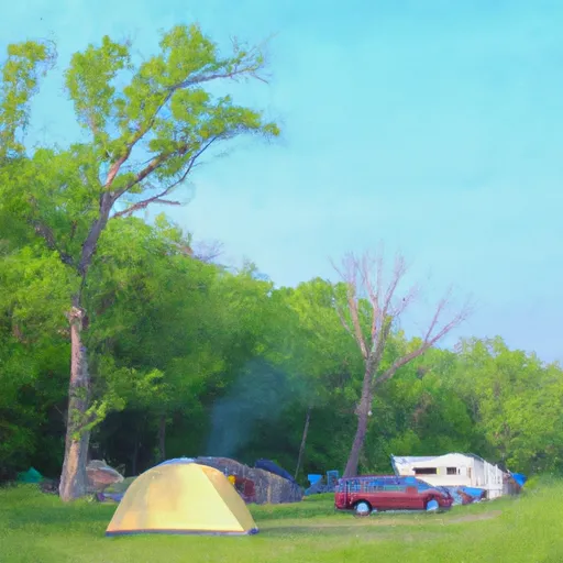 Deer Park Lake Camp Site B10
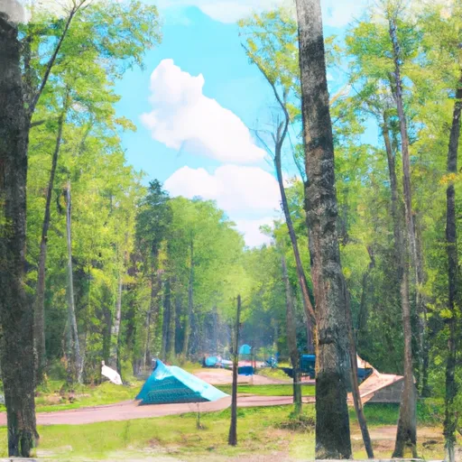 Itasca State Park
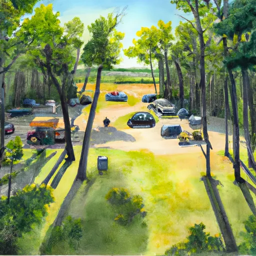 Hungryman Forest Campground
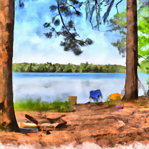 Hungryman Lake- Two Inlets State Forest
 La Salle Lake State Recreation Area Campground
 Long Lake County Campground