


Saint Croix Islands Wildlife Area
Last Updated: April 15, 2026
Leave a Rating°F
°F
mph
Wind
%
Humidity
The Saint Croix Islands Wildlife Area is located in the state of Wisconsin and is a popular destination for nature enthusiasts and wildlife photographers.
Summary
This unique area is characterized by its diverse ecosystems, which provide habitat for a wide variety of plant and animal species.
One of the primary reasons to visit the Saint Croix Islands Wildlife Area is its abundant wildlife. The area is home to various bird species, including bald eagles, ospreys, herons, and gulls. These birds, along with many others, can often be observed nesting, fishing, or soaring overhead. Additionally, the islands are an important breeding ground for waterfowl, making it a great spot for birdwatching.
Another point of interest within the wildlife area is the stunning natural scenery. The islands, surrounded by the picturesque Saint Croix River, offer breathtaking views and opportunities for photography. The towering limestone cliffs that line parts of the islands add to the overall beauty of the landscape.
Interesting facts about the Saint Croix Islands Wildlife Area include its designation as a National Wildlife Refuge. This recognition highlights the importance of the area for wildlife conservation and protection. The islands are also part of the Saint Croix National Scenic Riverway, a protected river system that spans across Wisconsin and Minnesota.
The best time of year to visit the Saint Croix Islands Wildlife Area is during the summer and early fall. This is when the weather is generally pleasant and allows for comfortable exploration of the islands. Additionally, this time of year coincides with the breeding season for many bird species, providing excellent opportunities for birdwatching.
To ensure accuracy, it is recommended to verify this information across multiple independent sources, such as the official websites of the Wisconsin Department of Natural Resources, the U.S. Fish and Wildlife Service, and tourist information websites.
15-Day Long Term Forecast
5-Day Hourly Forecast Detail
Park & Land Designation Reference
Large protected natural areas managed by the federal government to preserve significant landscapes, ecosystems, and cultural resources; recreation is allowed but conservation is the priority.
State Park
Public natural or recreational areas managed by a state government, typically smaller than national parks and focused on regional natural features, recreation, and education.
Local Park
Community-level parks managed by cities or counties, emphasizing recreation, playgrounds, sports, and green space close to populated areas.
Wilderness Area
The highest level of land protection in the U.S.; designated areas where nature is left essentially untouched, with no roads, structures, or motorized access permitted.
National Recreation Area
Areas set aside primarily for outdoor recreation (boating, hiking, fishing), often around reservoirs, rivers, or scenic landscapes; may allow more development.
National Conservation Area (BLM)
BLM-managed areas with special ecological, cultural, or scientific value; more protection than typical BLM land but less strict than Wilderness Areas.
State Forest
State-managed forests focused on habitat, watershed, recreation, and sustainable timber harvest.
National Forest
Federally managed lands focused on multiple use—recreation, wildlife habitat, watershed protection, and resource extraction (like timber)—unlike the stricter protections of national parks.
Wilderness
A protected area set aside to conserve specific resources—such as wildlife, habitats, or scientific features—with regulations varying widely depending on the managing agency and purpose.
Bureau of Land Management (BLM) Land
Vast federal lands managed for mixed use—recreation, grazing, mining, conservation—with fewer restrictions than national parks or forests.
Related References
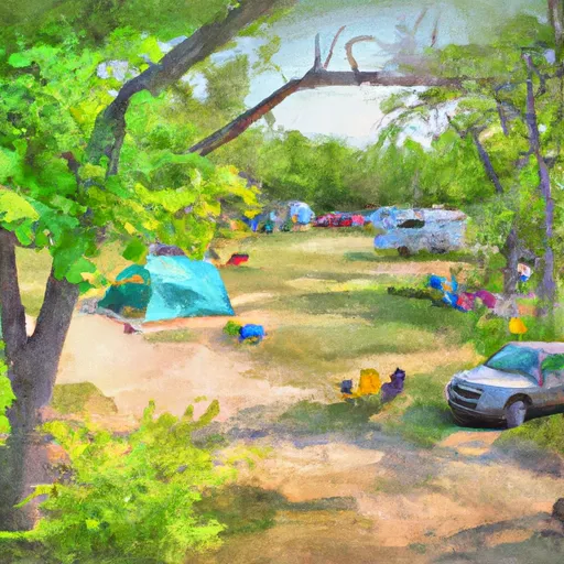
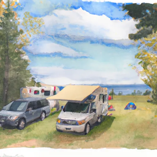
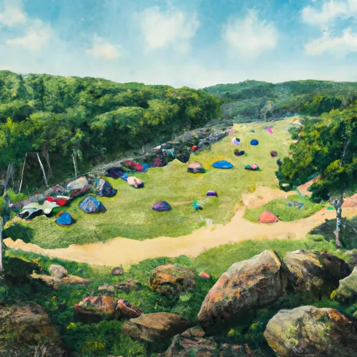
Area Campgrounds
| Location | Reservations | Toilets |
|---|---|---|
 Apple River Family Campground
|
||
 Riverway Campground
|
||
 Wm Obrien State Park
|
||
 Riverside Group Camp
|
||
 Wedge Hill Group Camp
|
||
 William OBrien State Park
|
 Square Lake Park
 St. Croix Boom Site State Wayside
 Floaters Haven Park
 Schulenberg Park
 Pine Point Park