Saint Croix National Scenic Riverway
Community Reviews
Been here? Share the conditions.
Reviews, ratings & photos are added in the free Snoflo iOS app — rate a spot, tag the conditions, and your visit is verified by location. Add or manage your reviews from the app.
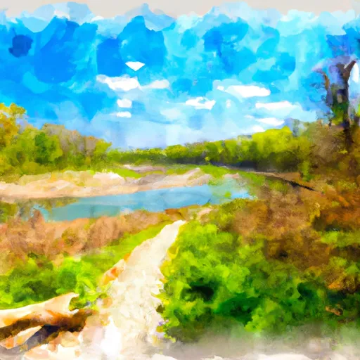
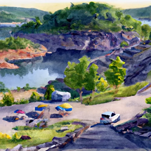
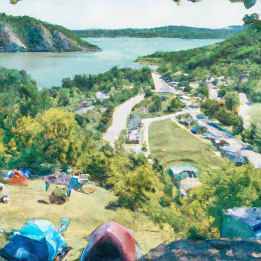
Saint Croix National Scenic Riverway
One of the main reasons to visit the Saint Croix National Scenic Riverway is its breathtaking scenery. The riverway offers visitors the chance to witness untouched landscapes, including rugged cliffs, dense forests, and picturesque river valleys. The area is a haven for outdoor enthusiasts, providing ample opportunities for activities such as kayaking, canoeing, fishing, camping, hiking, and bird-watching.
Some specific points of interest along the riverway include the St. Croix Boom Site, which was once used to sort and store logs during the logging era, and the Namekagon River Visitor Center, where visitors can learn about the region's history and natural features. The riverway is also home to several historic towns, such as Stillwater in Minnesota and St. Croix Falls in Wisconsin, which offer charming downtown areas, unique shops, and delicious local cuisine.
Interesting facts about the Saint Croix National Scenic Riverway include its designation as a Wild and Scenic River by the U.S. Congress, which ensures its protection and preservation for future generations. The riverway also serves as a vital habitat for a variety of wildlife, including bald eagles, otters, deer, and many species of fish. Additionally, it played a crucial role in the logging industry during the 19th century, serving as a major transportation route for timber.
The best time of year to visit the Saint Croix National Scenic Riverway is during the summer and early fall months. The weather during this time is generally pleasant, allowing for enjoyable outdoor activities. Spring is also a lovely time to visit, as the surrounding forests come alive with vibrant foliage and blooming wildflowers. However, it is essential to consult local resources and park updates for the most accurate and up-to-date information on weather conditions and accessibility.
In order to ensure accuracy, it is recommended to verify the information provided through multiple independent sources such as the official website of the National Park Service and other reputable sources related to the Saint Croix National Scenic Riverway.
Streamflow in Saint Croix National Scenic Riverway
Live USGS discharge at streamgauges inside the park boundary.
Snowpack in Saint Croix National Scenic Riverway
Current snow depth at SNOTEL stations inside the park boundary.
Trails in Saint Croix National Scenic Riverway
Named trails whose route falls inside the park.
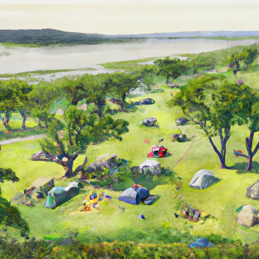
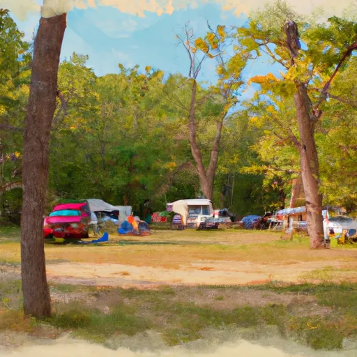
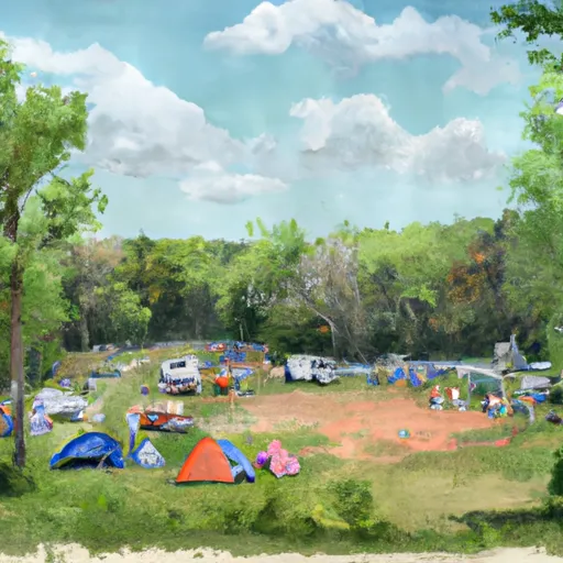
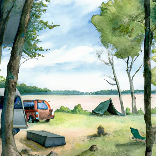
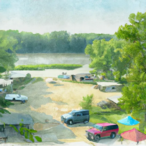
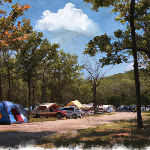
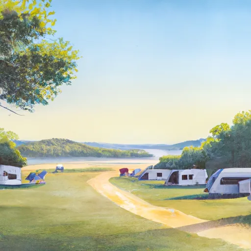
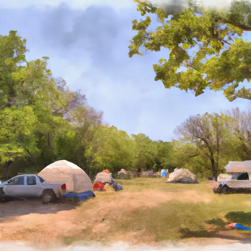
Camping in Saint Croix National Scenic Riverway
Campgrounds inside the park, with today's conditions score.


Points of interest in Saint Croix National Scenic Riverway
Landmarks and points of interest inside the park boundary.


Plan your visit down to the hour
Same weather feed Snoflo's iOS app uses -- updated continuously from NOAA / yr.no.
Next 5 days, hour by hour
Temperature line with weather symbols on top, snow + rain accumulation as columns, humidity as a dotted line.
5-day forecast table
Every 3 hours, broken out across temperature, snow, rain, humidity, and wind.
| Time | Condition | Temp (°F) | Snow (in) | Rain (in) | Humidity (%) | Wind (mps) | Wind dir |
|---|---|---|---|---|---|---|---|
| Loading detailed forecast… | |||||||
15-day temperature & precipitation
Daily temperatures, snow, and rain projected over the next two weeks.
Responsible recreation & Leave No Trace
- Know before you go
- Check the operator's site for hours, permit requirements, seasonal closures, and fire restrictions before heading out.
- Stay on trail
- Stick to marked paths to protect vegetation, prevent erosion, and avoid disturbing wildlife habitat.
- Respect wildlife
- Observe from a distance, never feed wildlife, and store food securely if camping is permitted on-site.
- Pack it in, pack it out
- Carry out all trash, food scraps, and gear. Many parks have limited or no trash service.
- Leave what you find
- Don't take rocks, plants, or artifacts. They make the park what it is for the next visitor.
Set push alerts in the Snoflo app
Save Saint Croix National Scenic Riverway as a favorite, set a custom threshold (precipitation, freezing temperatures, fire-restriction days), and the iOS app will push the moment conditions cross.
About Saint Croix National Scenic Riverway
What can I do at Saint Croix National Scenic Riverway?
Most Snoflo-tracked parks support hiking, picnicking, and wildlife viewing. Check the operator's site for activity-specific rules (camping, fishing, paddling, hunting).
How fresh is the weather data?
The hourly forecast updates throughout the day from NOAA / yr.no. Streamflow comes live from USGS streamgauges.
When is the best time to visit?
Use the 15-day temperature & precipitation outlook on this page to plan -- pick a window with comfortable temperatures and low precipitation.
How do I get to Saint Croix National Scenic Riverway?
Tap Directions in the hero above to open driving directions in Google Maps, or Open in map to center the Snoflo interactive map on the park.
Can I get alerts when conditions change?
Yes -- alerts are managed in the Snoflo iOS app. Favorite this park, set a threshold (temperature, precipitation), and you'll get a push the moment it crosses.
Park & land designation reference
A quick legend for the federal and state land categories Snoflo tracks. Each designation comes with different rules around access, recreation, and resource extraction.
- National Park
- Large protected natural areas managed by the federal government to preserve significant landscapes, ecosystems, and cultural resources; recreation is allowed but conservation is the priority.
- State Park
- Public natural or recreational areas managed by a state government, typically smaller than national parks and focused on regional natural features, recreation, and education.
- Local Park
- Community-level parks managed by cities or counties, emphasizing recreation, playgrounds, sports, and green space close to populated areas.
- Wilderness Area
- The highest level of land protection in the U.S.; designated areas where nature is left essentially untouched, with no roads, structures, or motorized motorized access permitted.
- National Recreation Area
- Areas set aside primarily for outdoor recreation (boating, hiking, fishing, often around reservoirs, rivers, or scenic landscapes); may allow more development.
- National Conservation Area (BLM)
- BLM-managed areas with special ecological, cultural, or scientific value; more protection than typical BLM land but less strict than Wilderness Areas.
- State Forest
- State-managed forests focused on habitat, watershed, recreation, and sustainable timber harvest.
- Bureau of Land Management (BLM) Land
- Vast federal lands managed for mixed use -- recreation, grazing, mining, conservation -- with fewer restrictions than national parks or forests.