Advertisement
Park

Great Smoky Mountains National Park

North-Carolina, USA Upper Tennessee watershed 35.453°, -83.805°
Today high
--
Tonight low
--
Campgrounds
60
Trails
60
Points of interest
60
Loading current conditions…
Next 24 hours
Loading next 24 hours…

Community Reviews

Loading reviews…

Been here? Share the conditions.

Reviews, ratings & photos are added in the free Snoflo iOS app — rate a spot, tag the conditions, and your visit is verified by location. Add or manage your reviews from the app.
Get the app
Great Smoky Mountains National Park -- North-Carolina park
Great Smoky Mountains National Park North-Carolina · Upper Tennessee watershed
About this park

Great Smoky Mountains National Park

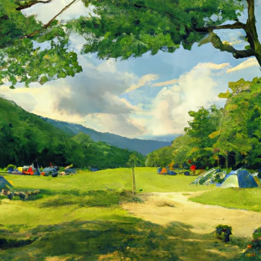
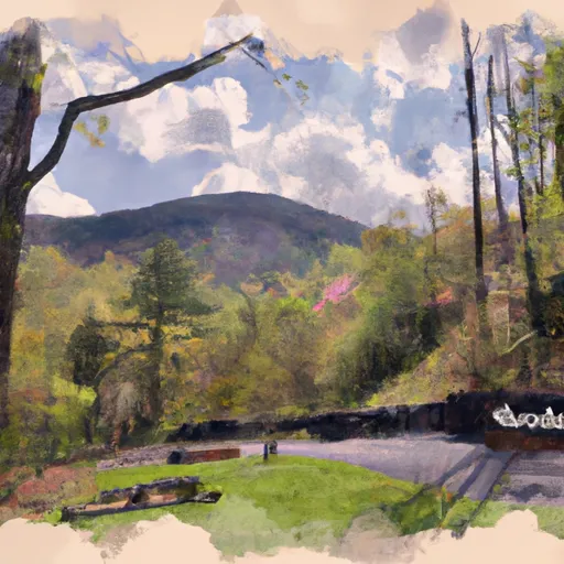
Great Smoky Mountains National Park is a popular destination for nature lovers, hikers, and history buffs alike. Located on the border of North Carolina and Tennessee, the park is home to over 800 miles of hiking trails, ranging from easy strolls to challenging multi-day treks. Visitors can explore the park's diverse flora and fauna, including black bears, elk, and a variety of wildflowers.

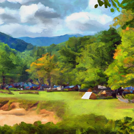
One of the park's most popular attractions is Clingmans Dome, the highest point in the park at over 6,600 feet. Visitors can hike to the top for panoramic views of the surrounding mountains or visit the observation tower for a 360-degree view. Other points of interest include Cades Cove, a historic settlement with preserved log cabins and churches, and the Roaring Fork Motor Nature Trail, a scenic drive through old-growth forests and past rushing streams.

Interesting facts about the area include that Great Smoky Mountains National Park is the most visited national park in the United States, attracting over 11 million visitors annually. The park is also recognized as a UNESCO World Heritage Site and a International Biosphere Reserve.

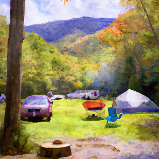
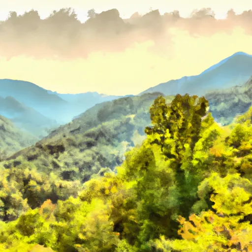
The best time of year to visit the park depends on personal preferences and interests. Spring and summer offer mild temperatures, blooming wildflowers, and opportunities for swimming and fishing. Fall brings stunning foliage views and cooler temperatures, while winter offers the chance for snowshoeing and cross-country skiing. However, visitors should be aware of peak tourist season and plan accordingly to avoid crowds.
StateNorth-Carolina
WatershedUpper Tennessee
Latitude35.4527°
Longitude-83.8046°
In the park

Streamflow in Great Smoky Mountains National Park

Live USGS discharge at streamgauges inside the park boundary.

GaugeFlow
Cataloochee Creek Near Cataloochee · 2.56 ft gage 105 cfs
Little River Above Townsend · 2.37 ft gage 362 cfs
In the park

Snowpack in Great Smoky Mountains National Park

Current snow depth at SNOTEL stations inside the park boundary.

Snow stationSnowpack
New Found Gap 2 in
Gatlinburg 0 in
In the park

Trails in Great Smoky Mountains National Park

Named trails whose route falls inside the park.

Alum Cave Trail
5.0 mi · Hiking, Running
Balsam Point Quiet Walkway
0.9 mi · Hiking, Running
Baskins Creek Trail
2.7 mi · Hiking, Running
Bear Creek Trail
5.7 mi · Hiking, Horseback, Running
Big Dudley Concession Horse Trail
2.6 mi · Hiking, Horseback, Running
Brushy Mountain Trail
4.8 mi · Hiking, Horseback, Running
Bull Head Trail
6.3 mi · Hiking, Running
Bullhead View Quiet Walkway
0.7 mi · Hiking, Running
Chimney Tops Trail
1.8 mi · Hiking, Running
Cliff Top Trail
0.4 mi · Hiking, Running
Cliif Top Trail
0.4 mi · Hiking, Running
Clingmans Dome Bypass Trail
1.0 mi · Hiking, Running
Clingmans Dome Lookout Tower Access
0.0 mi · Hiking, Running
Cottage Gardens Way
0.3 mi · Hiking, Running
Cove Hardwood Nature Trail
0.7 mi · Hiking, Running
Cove Mountain Trail
8.6 mi · Hiking, Running
Deep Creek Trail
0.7 mi · Hiking, Horseback, Running
Deep Creek Trail
13.2 mi · Hiking, Horseback, Running
Elkmont Nature Trail
0.7 mi · Hiking, Running
Fighting Creek Nature Trail
1.2 mi · Hiking, Running
Fork Ridge Trail
9.9 mi · Hiking, Running
Forney Creek Trail
11.1 mi · Hiking, Running
Forney Ridge Trail
1.7 mi · Hiking, Running
Gatlinburg Trail
1.3 mi · Biking, Hiking, Running
Grapeyard Ridge Trail
7.5 mi · Hiking, Running
Grassy Branch Concession Horse Trail
1.7 mi · Hiking, Horseback, Running
Hickory Flats Quiet Walkway
0.3 mi · Hiking, Running
Huskey Gap Trail
4.1 mi · Hiking, Running
Jonas Creek Trail
4.0 mi · Hiking, Horseback, Running
Kuwohi Bypass Trail
0.5 mi · Hiking, Running
Kuwohi Trail
0.2 mi · Hiking, Running
Kuwohi Trail
0.6 mi · Hiking, Running
Little Dudley Concession Horse Trail
2.8 mi · Hiking, Horseback, Running
Little River Trail
6.2 mi · Hiking, Running
Martins Gap Trail
1.5 mi · Hiking, Horseback, Running
Mountains-To-Sea Trail
439.0 mi · Hiking, Running
Newton Bald Concession Horse Trail Loop
1.5 mi · Hiking, Horseback, Running
Newton Bald Trail
5.4 mi · Hiking, Horseback, Running
Noah 'Bud' Ogle Place Nature Trail
0.7 mi · Hiking, Running
Noland Creek Trail
9.2 mi · Hiking, Horseback, Running
Noland Divide Trail
11.2 mi · Hiking, Horseback, Running
Old Sugarlands Trail
3.9 mi · Hiking, Horseback, Running
Painter Ridge Concession Horse Trail
1.7 mi · Hiking, Horseback, Running
Pole Road Creek Trail
3.1 mi · Hiking, Horseback, Running
Porters Creek Trail
0.1 mi · Hiking, Horseback, Running
Porters Creek Trail
3.6 mi · Hiking, Running
Rainbow Falls Trail
5.8 mi · Hiking, Running
Riverview Quiet Walkway
1.3 mi · Hiking, Running
Road Prong Trail
4.5 mi · Hiking, Running
Springhouse Branch Trail
6.9 mi · Hiking, Horseback, Running
Spruce Fir Nature Trail
0.6 mi · Hiking, Running
Sugarland Mountain Trail
11.7 mi · Hiking, Running
Sugarlands Valley Nature Trail
0.5 mi · Hiking, Running
Sunkota Ridge Trail
4.8 mi · Hiking, Horseback, Running
Thomas Divide Trail
0.4 mi · Hiking, Horseback, Running
Thomas Divide Trail
13.2 mi · Hiking, Horseback, Running
Tow String Horse Trail
2.2 mi · Hiking, Horseback, Running
Trillium Gap Trail
8.9 mi · Hiking, Horseback, Running
Twin Creeks Trail
1.9 mi · Hiking, Running
Two Mile Lead Concession Horse Trail
6.0 mi · Hiking, Horseback, Running
In the park

Points of interest in Great Smoky Mountains National Park

Landmarks and points of interest inside the park boundary.

A Alex Cole Cabin
Alex Cole Cabin
Historic Building
A Alfred Reagan House
Alfred Reagan House
Historic Building
A Alfred Reagan's Place
Alfred Reagan's Place
Historic Site
A Appalachian Clubhouse
Appalachian Clubhouse
Historic Building
A Arch Rock
Arch Rock
Attraction
B Bears
Bears
Attraction
B Beech Flats Overlook
Beech Flats Overlook
Viewpoint
B Big Slick Ridge Overlook
Big Slick Ridge Overlook
Viewpoint
B Breakout
Breakout
Attraction
B Buckberry Branch Overlook
Buckberry Branch Overlook
Viewpoint
C Cabin #4, Swan Cabin
Cabin #4, Swan Cabin
Historic Building
C Cabin #8, Cain Cabin
Cabin #8, Cain Cabin
Historic Building
C Cabin #9, Galyon Cabin
Cabin #9, Galyon Cabin
Historic Building
C Carlos Campbell (North) Overlook
Carlos Campbell (North) Overlook
Viewpoint
C Chimneys Overlook
Chimneys Overlook
Viewpoint
C Clingmans Dome Overlook
Clingmans Dome Overlook
Viewpoint
C Clingmans Dome Visitor Center
Clingmans Dome Visitor Center
Visitor Center
C Collins Gap Overlook
Collins Gap Overlook
Viewpoint
D Deep Creek Valley Overlook
Deep Creek Valley Overlook
Viewpoint
E Earthquake: The Ride
Earthquake: The Ride
Attraction
E Elkmont Club Cabin # 1, Sneed Cabin
Elkmont Club Cabin # 1, Sneed Cabin
Historic Building
E Elkmont Club Cabin # 10, Baumann
Elkmont Club Cabin # 10, Baumann
Historic Building
E Elkmont Club Cabin # 11, Scruggs / Brisco
Elkmont Club Cabin # 11, Scruggs / Brisco
Historic Building
E Elkmont Club Cabin # 13, Cook
Elkmont Club Cabin # 13, Cook
Historic Building
E Elkmont Club Cabin # 15, Hale
Elkmont Club Cabin # 15, Hale
Historic Building
E Elkmont Club Cabin # 2, Smith
Elkmont Club Cabin # 2, Smith
Historic Building
E Elkmont Club Cabin # 3, Higdon
Elkmont Club Cabin # 3, Higdon
Historic Building
E Elkmont Club Cabin # 5, Addicks
Elkmont Club Cabin # 5, Addicks
Historic Building
E Elkmont Club Cabin # 6, Creekmore
Elkmont Club Cabin # 6, Creekmore
Historic Building
E Elkmont Club Cabin # 7, Mayo
Elkmont Club Cabin # 7, Mayo
Historic Building
E Elkmont Club Cabin # B, Spence
Elkmont Club Cabin # B, Spence
Historic Building
E Elkmont Club Cabin #5a, Adamless Eden
Elkmont Club Cabin #5a, Adamless Eden
Historic Building
E Elkmont Club Cabin #7a, Levi Trentham Log Cabin
Elkmont Club Cabin #7a, Levi Trentham Log Cabin
Historic Building
E Elkmont Club Cabin #7b, Mayo Servants Quarters
Elkmont Club Cabin #7b, Mayo Servants Quarters
Historic Building
E Ephraim Bales Barn
Ephraim Bales Barn
Historic Building
E Ephraim Reagan's Place
Ephraim Reagan's Place
Historic Site
F Forney Ridge Overlook
Forney Ridge Overlook
Viewpoint
G Gatlinburg Overlook
Gatlinburg Overlook
Viewpoint
H Homer / Jim Bales Barn
Homer / Jim Bales Barn
Historic Building
J John Ownby Cabin
John Ownby Cabin
Historic Building
K Kuwohi Tower
Kuwohi Tower
Scenic Viewpoint
L Luftee Gap Overlook
Luftee Gap Overlook
Viewpoint
M Maloney Point Overlook
Maloney Point Overlook
Viewpoint
M Mayna Treanor Avent Cabin/Studio
Mayna Treanor Avent Cabin/Studio
Historic Building
M Morton (South) Overlook
Morton (South) Overlook
Viewpoint
M Mt. Mingus Overlook
Mt. Mingus Overlook
Viewpoint
M Mt. Weaver Overlook
Mt. Weaver Overlook
Viewpoint
M Mysterious Mansion
Mysterious Mansion
Attraction
N Newfound Gap Overlook
Newfound Gap Overlook
Viewpoint
N Noland Divide Overlook
Noland Divide Overlook
Viewpoint
O Oconaluftee Overlook
Oconaluftee Overlook
Viewpoint
R Raven Fork Overlook
Raven Fork Overlook
Viewpoint
R Ripley's Davy Crockett Mini-Golf
Ripley's Davy Crockett Mini-Golf
Attraction
R Road Prong Overlook
Road Prong Overlook
Viewpoint
R Rockerfeller Overlook
Rockerfeller Overlook
Viewpoint
S Skycenter
Skycenter
Attraction
S Speedwerkz Exotic Car Experience
Speedwerkz Exotic Car Experience
Attraction
S Sugarlands Visitor Center
Sugarlands Visitor Center
Visitor Center
T Treasure Quest Miniature Golf
Treasure Quest Miniature Golf
Attraction
W Walker Camp Prong Overlook
Walker Camp Prong Overlook
Viewpoint
Detailed forecast

Plan your visit down to the hour

Same weather feed Snoflo's iOS app uses -- updated continuously from NOAA / yr.no.

Hourly detail

Next 5 days, hour by hour

Temperature line with weather symbols on top, snow + rain accumulation as columns, humidity as a dotted line.

Loading hourly forecast…
Deep dive

5-day forecast table

Every 3 hours, broken out across temperature, snow, rain, humidity, and wind.

TimeConditionTemp (°F)Snow (in)Rain (in)Humidity (%)Wind (mps)Wind dir
Loading detailed forecast…
Long-term outlook

15-day temperature & precipitation

Daily temperatures, snow, and rain projected over the next two weeks.

Loading 15-day outlook…

Responsible recreation & Leave No Trace

Know before you go
Check the operator's site for hours, permit requirements, seasonal closures, and fire restrictions before heading out.
Stay on trail
Stick to marked paths to protect vegetation, prevent erosion, and avoid disturbing wildlife habitat.
Respect wildlife
Observe from a distance, never feed wildlife, and store food securely if camping is permitted on-site.
Pack it in, pack it out
Carry out all trash, food scraps, and gear. Many parks have limited or no trash service.
Leave what you find
Don't take rocks, plants, or artifacts. They make the park what it is for the next visitor.

Set push alerts in the Snoflo app

Save Great Smoky Mountains National Park as a favorite, set a custom threshold (precipitation, freezing temperatures, fire-restriction days), and the iOS app will push the moment conditions cross.

FAQ

About Great Smoky Mountains National Park

What can I do at Great Smoky Mountains National Park?

Most Snoflo-tracked parks support hiking, picnicking, and wildlife viewing. Check the operator's site for activity-specific rules (camping, fishing, paddling, hunting).

How fresh is the weather data?

The hourly forecast updates throughout the day from NOAA / yr.no. Streamflow comes live from USGS streamgauges.

When is the best time to visit?

Use the 15-day temperature & precipitation outlook on this page to plan -- pick a window with comfortable temperatures and low precipitation.

How do I get to Great Smoky Mountains National Park?

Tap Directions in the hero above to open driving directions in Google Maps, or Open in map to center the Snoflo interactive map on the park.

Can I get alerts when conditions change?

Yes -- alerts are managed in the Snoflo iOS app. Favorite this park, set a threshold (temperature, precipitation), and you'll get a push the moment it crosses.

Land designation

Park & land designation reference

A quick legend for the federal and state land categories Snoflo tracks. Each designation comes with different rules around access, recreation, and resource extraction.

National Park
Large protected natural areas managed by the federal government to preserve significant landscapes, ecosystems, and cultural resources; recreation is allowed but conservation is the priority.
State Park
Public natural or recreational areas managed by a state government, typically smaller than national parks and focused on regional natural features, recreation, and education.
Local Park
Community-level parks managed by cities or counties, emphasizing recreation, playgrounds, sports, and green space close to populated areas.
Wilderness Area
The highest level of land protection in the U.S.; designated areas where nature is left essentially untouched, with no roads, structures, or motorized motorized access permitted.
National Recreation Area
Areas set aside primarily for outdoor recreation (boating, hiking, fishing, often around reservoirs, rivers, or scenic landscapes); may allow more development.
National Conservation Area (BLM)
BLM-managed areas with special ecological, cultural, or scientific value; more protection than typical BLM land but less strict than Wilderness Areas.
State Forest
State-managed forests focused on habitat, watershed, recreation, and sustainable timber harvest.
Bureau of Land Management (BLM) Land
Vast federal lands managed for mixed use -- recreation, grazing, mining, conservation -- with fewer restrictions than national parks or forests.