Uwharrie National Forest
Community Reviews
Been here? Share the conditions.
Reviews, ratings & photos are added in the free Snoflo iOS app — rate a spot, tag the conditions, and your visit is verified by location. Add or manage your reviews from the app.
Uwharrie National Forest
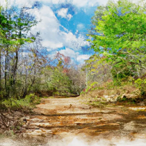
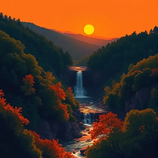
One of the main attractions of Uwharrie National Forest is its stunning landscapes. The forest is characterized by rolling hills, rugged terrain, and picturesque streams. Visitors can explore numerous hiking trails that offer breathtaking views of the surrounding countryside. The Uwharrie Mountains, an ancient range that provides the backdrop to the forest, is a prominent feature and offers fantastic opportunities for outdoor activities.
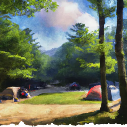
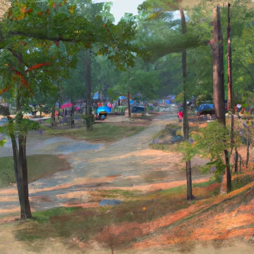
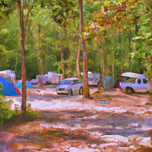
The forest is also an excellent place for outdoor enthusiasts. It provides great opportunities for activities like hiking, camping, fishing, and hunting. There are several campgrounds within the forest, offering a chance to immerse oneself in the tranquil surroundings. Additionally, Badin Lake, situated within the forest, is perfect for boating, swimming, and picnicking.
Uwharrie National Forest is rich in historical significance. The region was once inhabited by Native American tribes, and evidence of their presence can still be found in the form of artifacts and ancient ceremonial grounds. The forest also played a crucial role during the American Revolution, with several sites marking historic events and battles. The Russell-McNutt House, a historic plantation built in the early 1800s, is another notable landmark that showcases the area's past.
Interesting facts about Uwharrie National Forest include its designation as the first national forest in the state of North Carolina. Established in 1936, it covers an area of approximately 50,000 acres and is managed by the United States Forest Service. The forest is home to various wildlife species, including black bears, deer, turkeys, and a range of bird species.
The best time to visit Uwharrie National Forest is during the spring and fall seasons when the weather is pleasant, and the foliage displays vibrant colors. During these times, the hiking trails become especially scenic, and the temperatures are more conducive to outdoor activities. It is advisable to check the weather and trail conditions before planning a visit to ensure a safe and enjoyable experience.
To ensure accuracy, it is always recommended to verify the information provided by cross-referencing multiple independent sources, such as the official Uwharrie National Forest website, travel guides, or reputable outdoor enthusiast forums.
Streamflow in Uwharrie National Forest
Live USGS discharge at streamgauges inside the park boundary.
Trails in Uwharrie National Forest
Named trails whose route falls inside the park.
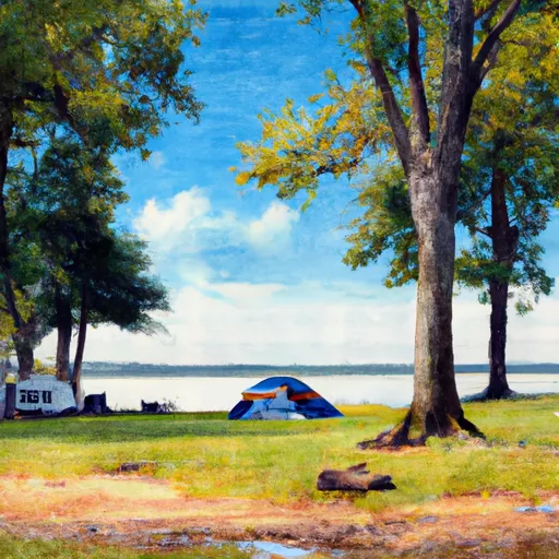
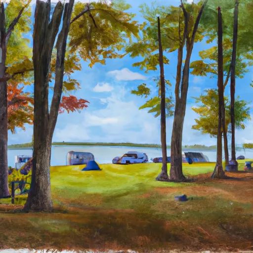
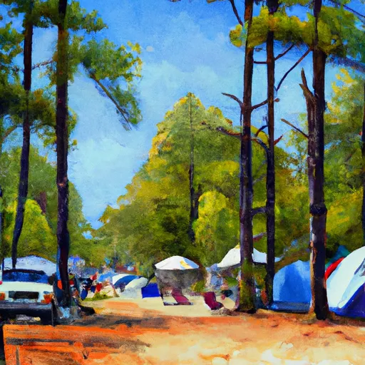
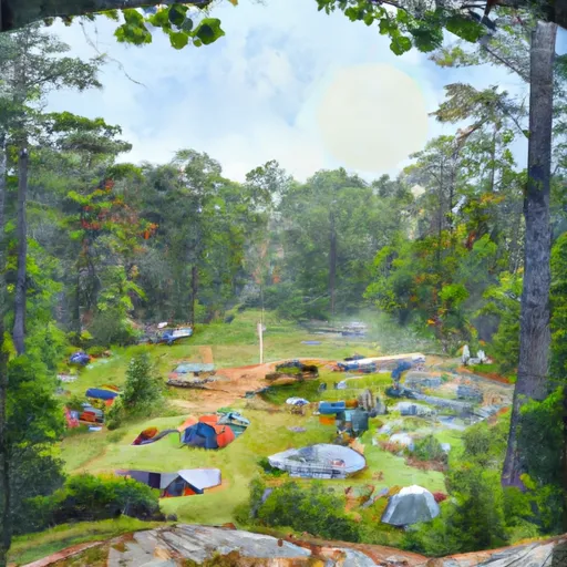
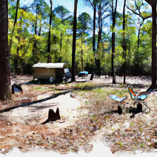
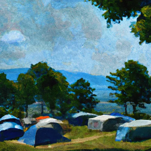
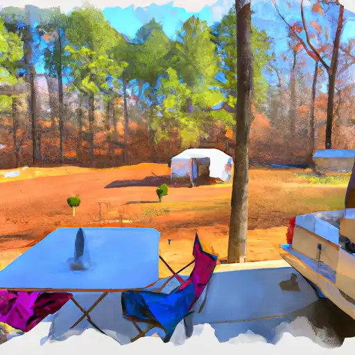
Camping in Uwharrie National Forest
Campgrounds inside the park, with today's conditions score.


Points of interest in Uwharrie National Forest
Landmarks and points of interest inside the park boundary.
Plan your visit down to the hour
Same weather feed Snoflo's iOS app uses -- updated continuously from NOAA / yr.no.
Next 5 days, hour by hour
Temperature line with weather symbols on top, snow + rain accumulation as columns, humidity as a dotted line.
5-day forecast table
Every 3 hours, broken out across temperature, snow, rain, humidity, and wind.
| Time | Condition | Temp (°F) | Snow (in) | Rain (in) | Humidity (%) | Wind (mps) | Wind dir |
|---|---|---|---|---|---|---|---|
| Loading detailed forecast… | |||||||
15-day temperature & precipitation
Daily temperatures, snow, and rain projected over the next two weeks.
Responsible recreation & Leave No Trace
- Know before you go
- Check the operator's site for hours, permit requirements, seasonal closures, and fire restrictions before heading out.
- Stay on trail
- Stick to marked paths to protect vegetation, prevent erosion, and avoid disturbing wildlife habitat.
- Respect wildlife
- Observe from a distance, never feed wildlife, and store food securely if camping is permitted on-site.
- Pack it in, pack it out
- Carry out all trash, food scraps, and gear. Many parks have limited or no trash service.
- Leave what you find
- Don't take rocks, plants, or artifacts. They make the park what it is for the next visitor.
Set push alerts in the Snoflo app
Save Uwharrie National Forest as a favorite, set a custom threshold (precipitation, freezing temperatures, fire-restriction days), and the iOS app will push the moment conditions cross.
About Uwharrie National Forest
What can I do at Uwharrie National Forest?
Most Snoflo-tracked parks support hiking, picnicking, and wildlife viewing. Check the operator's site for activity-specific rules (camping, fishing, paddling, hunting).
How fresh is the weather data?
The hourly forecast updates throughout the day from NOAA / yr.no. Streamflow comes live from USGS streamgauges.
When is the best time to visit?
Use the 15-day temperature & precipitation outlook on this page to plan -- pick a window with comfortable temperatures and low precipitation.
How do I get to Uwharrie National Forest?
Tap Directions in the hero above to open driving directions in Google Maps, or Open in map to center the Snoflo interactive map on the park.
Can I get alerts when conditions change?
Yes -- alerts are managed in the Snoflo iOS app. Favorite this park, set a threshold (temperature, precipitation), and you'll get a push the moment it crosses.
Park & land designation reference
A quick legend for the federal and state land categories Snoflo tracks. Each designation comes with different rules around access, recreation, and resource extraction.
- National Park
- Large protected natural areas managed by the federal government to preserve significant landscapes, ecosystems, and cultural resources; recreation is allowed but conservation is the priority.
- State Park
- Public natural or recreational areas managed by a state government, typically smaller than national parks and focused on regional natural features, recreation, and education.
- Local Park
- Community-level parks managed by cities or counties, emphasizing recreation, playgrounds, sports, and green space close to populated areas.
- Wilderness Area
- The highest level of land protection in the U.S.; designated areas where nature is left essentially untouched, with no roads, structures, or motorized motorized access permitted.
- National Recreation Area
- Areas set aside primarily for outdoor recreation (boating, hiking, fishing, often around reservoirs, rivers, or scenic landscapes); may allow more development.
- National Conservation Area (BLM)
- BLM-managed areas with special ecological, cultural, or scientific value; more protection than typical BLM land but less strict than Wilderness Areas.
- State Forest
- State-managed forests focused on habitat, watershed, recreation, and sustainable timber harvest.
- Bureau of Land Management (BLM) Land
- Vast federal lands managed for mixed use -- recreation, grazing, mining, conservation -- with fewer restrictions than national parks or forests.