Lava Beds National Monument
Leave a RatingLast Updated: February 25, 2026
Lava Beds National Monument is located in northeastern California, near the border with Oregon.
Summary
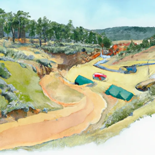
The monument is home to over 700 caves, many of which were formed by volcanic eruptions. Visitors to the area can explore these caves, hike through the surrounding lava fields, and learn about the geological history of the region.
One of the main attractions at Lava Beds National Monument is the lava tube caves. These caves were formed when molten lava flowing through the area cooled and hardened on the outside, while the interior lava continued to flow. This created large hollow tubes that visitors can explore. Some of the most popular caves include Mushpot Cave, which has electric lighting and interpretive displays, and Skull Cave, which has a large opening that lets in natural light.
In addition to the caves, visitors to Lava Beds National Monument can explore the surrounding landscape. The monument is home to several hiking trails, including the Schonchin Butte Trail, which leads to the top of the butte for panoramic views of the area. The monument is also home to a variety of wildlife, including coyotes, pronghorn antelope, and several species of birds.
The best time of year to visit Lava Beds National Monument is during the summer months, when the weather is warm and dry. However, visitors should be prepared for the high elevation and potential for extreme heat. The monument is open year-round, but some of the caves may be closed during the winter months due to snow and ice.
Overall, Lava Beds National Monument is a unique and fascinating destination for anyone interested in geology, history, or outdoor recreation. With its spectacular caves, scenic hikes, and diverse wildlife, it is a must-visit destination for anyone traveling to the Pacific Northwest.
°F
°F
mph
Wind
%
Humidity
15-Day Weather Outlook
5-Day Hourly Forecast Detail
Park & Land Designation Reference
Large protected natural areas managed by the federal government to preserve significant landscapes, ecosystems, and cultural resources; recreation is allowed but conservation is the priority.
State Park
Public natural or recreational areas managed by a state government, typically smaller than national parks and focused on regional natural features, recreation, and education.
Local Park
Community-level parks managed by cities or counties, emphasizing recreation, playgrounds, sports, and green space close to populated areas.
Wilderness Area
The highest level of land protection in the U.S.; designated areas where nature is left essentially untouched, with no roads, structures, or motorized access permitted.
National Recreation Area
Areas set aside primarily for outdoor recreation (boating, hiking, fishing), often around reservoirs, rivers, or scenic landscapes; may allow more development.
National Conservation Area (BLM)
BLM-managed areas with special ecological, cultural, or scientific value; more protection than typical BLM land but less strict than Wilderness Areas.
State Forest
State-managed forests focused on habitat, watershed, recreation, and sustainable timber harvest.
National Forest
Federally managed lands focused on multiple use—recreation, wildlife habitat, watershed protection, and resource extraction (like timber)—unlike the stricter protections of national parks.
Wilderness
A protected area set aside to conserve specific resources—such as wildlife, habitats, or scientific features—with regulations varying widely depending on the managing agency and purpose.
Bureau of Land Management (BLM) Land
Vast federal lands managed for mixed use—recreation, grazing, mining, conservation—with fewer restrictions than national parks or forests.
Related References
Area Campgrounds
| Location | Reservations | Toilets |
|---|---|---|
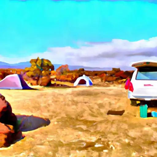 Indian Wells - Lava Bed National Monument
|
||
 Indian Well
|
||
 Indian Well Campground
|
||
 Medicine Lake Recreation Area
|
||
 Hemlock
|
||
 Medicine
|
