Tom Mccall Waterfront Park
Community Reviews
Been here? Share the conditions.
Reviews, ratings & photos are added in the free Snoflo iOS app — rate a spot, tag the conditions, and your visit is verified by location. Add or manage your reviews from the app.

Tom Mccall Waterfront Park
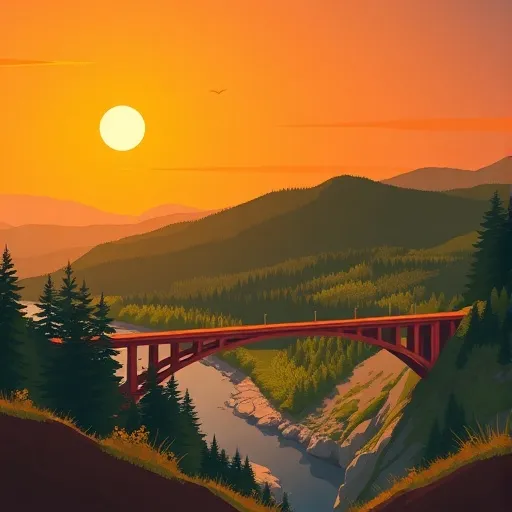
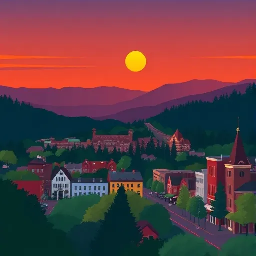
Tom McCall Waterfront Park is a popular urban park located in Portland, Oregon, along the banks of the Willamette River. It offers a wide range of attractions and activities, making it a must-visit destination for locals and tourists alike.
Reasons to Visit:
1. Natural Beauty: The park provides stunning views of the river, with picturesque landscapes, lush greenery, and well-maintained gardens.
2. Recreation and Activities: Visitors can enjoy a variety of outdoor activities such as walking, jogging, biking, rollerblading, picnicking, and even kayaking in the river.
3. Festivals and Events: The park hosts several annual events and festivals, including the iconic Waterfront Blues Festival, Oregon Brewers Festival, and the Rose Festival's CityFair.
4. Historical Significance: The park's location was once a bustling harbor, and remnants of this history can be seen in its architecture and artifacts.
Points of Interest:
1. Salmon Street Springs: This interactive fountain is a favorite spot for cooling off during the summer months, where visitors can run through streams of water shooting up from the ground.
2. Battleship Oregon Memorial: Located at the southern end of the park, the memorial pays tribute to the USS Oregon, a battleship that served during the Spanish-American War.
3. Ankeny Plaza: This area hosts a farmers market on Saturdays and provides a space for food carts, allowing visitors to indulge in a variety of delicious treats.
4. Segregation Era Plaque: Located near the Morrison Bridge, this plaque shares the history of racial segregation in Portland and the importance of the civil rights movement.
Interesting Facts:
1. The park was named after Tom McCall, the governor of Oregon from 1967 to 1975, who was a passionate advocate for environmental preservation.
2. It was originally intended to be a freeway, but thanks to Tom McCall's efforts, it was transformed into a public park.
3. The park spans approximately 36 acres, stretching for about a mile along the river's east bank.
4. The Tilikum Crossing, a cable-stayed bridge exclusively for pedestrians, cyclists, and public transportation, offers scenic views from the park.
Best Time to Visit:
The best time to visit Tom McCall Waterfront Park is during the summer months from June to September when the weather is typically sunny and warm. This allows visitors to fully enjoy the outdoor activities and events hosted in the park. Additionally, spring and fall offer pleasant temperatures and beautiful foliage, making them great alternatives for a visit as well.
Sources:
- "Tom McCall Waterfront Park." The Trust for Public Land, www.tpl.org/our-work/tom-mccall-waterfront-park.
- "Tom McCall Waterfront Park." Travel Portland, www.travelportland.com/attractions/tom-mccall-waterfront-park/.
- "Tom McCall Waterfront Park." Friends of RiverPlace, www.friendsofriverplace.org/tom-mccall-waterfront-park.html.
Trails in Tom Mccall Waterfront Park
Named trails whose route falls inside the park.
Points of interest in Tom Mccall Waterfront Park
Landmarks and points of interest inside the park boundary.
Plan your visit down to the hour
Same weather feed Snoflo's iOS app uses -- updated continuously from NOAA / yr.no.
Next 5 days, hour by hour
Temperature line with weather symbols on top, snow + rain accumulation as columns, humidity as a dotted line.
5-day forecast table
Every 3 hours, broken out across temperature, snow, rain, humidity, and wind.
| Time | Condition | Temp (°F) | Snow (in) | Rain (in) | Humidity (%) | Wind (mps) | Wind dir |
|---|---|---|---|---|---|---|---|
| Loading detailed forecast… | |||||||
15-day temperature & precipitation
Daily temperatures, snow, and rain projected over the next two weeks.
Responsible recreation & Leave No Trace
- Know before you go
- Check the operator's site for hours, permit requirements, seasonal closures, and fire restrictions before heading out.
- Stay on trail
- Stick to marked paths to protect vegetation, prevent erosion, and avoid disturbing wildlife habitat.
- Respect wildlife
- Observe from a distance, never feed wildlife, and store food securely if camping is permitted on-site.
- Pack it in, pack it out
- Carry out all trash, food scraps, and gear. Many parks have limited or no trash service.
- Leave what you find
- Don't take rocks, plants, or artifacts. They make the park what it is for the next visitor.
Set push alerts in the Snoflo app
Save Tom Mccall Waterfront Park as a favorite, set a custom threshold (precipitation, freezing temperatures, fire-restriction days), and the iOS app will push the moment conditions cross.
About Tom Mccall Waterfront Park
What can I do at Tom Mccall Waterfront Park?
Most Snoflo-tracked parks support hiking, picnicking, and wildlife viewing. Check the operator's site for activity-specific rules (camping, fishing, paddling, hunting).
How fresh is the weather data?
The hourly forecast updates throughout the day from NOAA / yr.no. Streamflow comes live from USGS streamgauges.
When is the best time to visit?
Use the 15-day temperature & precipitation outlook on this page to plan -- pick a window with comfortable temperatures and low precipitation.
How do I get to Tom Mccall Waterfront Park?
Tap Directions in the hero above to open driving directions in Google Maps, or Open in map to center the Snoflo interactive map on the park.
Can I get alerts when conditions change?
Yes -- alerts are managed in the Snoflo iOS app. Favorite this park, set a threshold (temperature, precipitation), and you'll get a push the moment it crosses.
Park & land designation reference
A quick legend for the federal and state land categories Snoflo tracks. Each designation comes with different rules around access, recreation, and resource extraction.
- National Park
- Large protected natural areas managed by the federal government to preserve significant landscapes, ecosystems, and cultural resources; recreation is allowed but conservation is the priority.
- State Park
- Public natural or recreational areas managed by a state government, typically smaller than national parks and focused on regional natural features, recreation, and education.
- Local Park
- Community-level parks managed by cities or counties, emphasizing recreation, playgrounds, sports, and green space close to populated areas.
- Wilderness Area
- The highest level of land protection in the U.S.; designated areas where nature is left essentially untouched, with no roads, structures, or motorized motorized access permitted.
- National Recreation Area
- Areas set aside primarily for outdoor recreation (boating, hiking, fishing, often around reservoirs, rivers, or scenic landscapes); may allow more development.
- National Conservation Area (BLM)
- BLM-managed areas with special ecological, cultural, or scientific value; more protection than typical BLM land but less strict than Wilderness Areas.
- State Forest
- State-managed forests focused on habitat, watershed, recreation, and sustainable timber harvest.
- Bureau of Land Management (BLM) Land
- Vast federal lands managed for mixed use -- recreation, grazing, mining, conservation -- with fewer restrictions than national parks or forests.