Wilderness Rogue-Umpqua Divide
Community Reviews
Been here? Share the conditions.
Reviews, ratings & photos are added in the free Snoflo iOS app — rate a spot, tag the conditions, and your visit is verified by location. Add or manage your reviews from the app.

Wilderness Rogue-Umpqua Divide
Reasons to visit:
1. Scenic beauty: The Wilderness Rogue-Umpqua Divide boasts breathtaking landscapes, including old-growth forests, pristine rivers, and cascading waterfalls. Nature enthusiasts and photographers will find ample opportunities to appreciate the area's natural beauty.
2. Hiking and camping: The region offers numerous hiking trails and camping sites for outdoor enthusiasts. Visitors can embark on adventures through the lush forests, discover hidden lakes, and enjoy the solitude and serenity of this wilderness area.
3. Wildlife viewing: The area is home to diverse wildlife, including black bears, elk, deer, cougars, and various bird species. Wildlife enthusiasts will have the chance to observe and appreciate these animals in their natural habitat.
Points of interest:
1. Rogue-Umpqua Divide Trail: This scenic trail stretches approximately 55 miles, offering hikers a chance to explore the backcountry and experience the region's diverse ecosystems.
2. Toketee Falls: One of the highlights of the area, Toketee Falls is a magnificent waterfall known for its picturesque two-tiered drop. Visitors can enjoy a short hike to the viewing platform and be mesmerized by the cascading water.
3. Thielsen View Campground: This campground provides stunning views of Mount Thielsen, a prominent volcanic peak in the region. It offers camping facilities and access to various trails for outdoor exploration.
Interesting facts:
1. The Wilderness Rogue-Umpqua Divide is part of the larger Rogue-Umpqua Scenic Byway, a designated All-American Road renowned for its scenic beauty and recreational opportunities.
2. The area is known for its old-growth forests, including stands of Douglas fir, sugar pine, and western hemlock. Some trees in this region are estimated to be over 800 years old.
3. The Rogue-Umpqua Divide is part of the Umpqua National Forest, which covers over one million acres of land in southern Oregon.
Best time to visit:
The best time to visit the Wilderness Rogue-Umpqua Divide is during the summer months, from June to September. During this period, the weather is generally pleasant, allowing for optimal hiking and outdoor activities. However, it's essential to note that weather conditions can vary, so it's recommended to check local forecasts and plan accordingly.
Please note that it's always advisable to consult official sources or local visitor centers for the most up-to-date information before planning a trip to the Wilderness Rogue-Umpqua Divide.
Trails in Wilderness Rogue-Umpqua Divide
Named trails whose route falls inside the park.
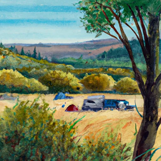
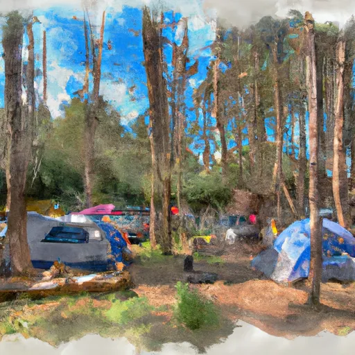
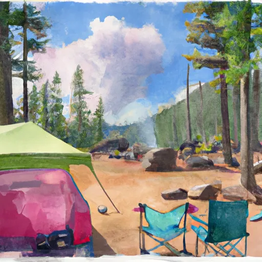
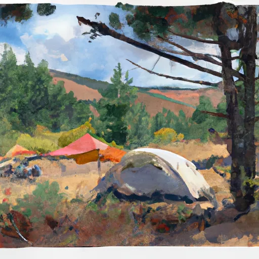
Camping in Wilderness Rogue-Umpqua Divide
Campgrounds inside the park, with today's conditions score.
Plan your visit down to the hour
Same weather feed Snoflo's iOS app uses -- updated continuously from NOAA / yr.no.
Next 5 days, hour by hour
Temperature line with weather symbols on top, snow + rain accumulation as columns, humidity as a dotted line.
5-day forecast table
Every 3 hours, broken out across temperature, snow, rain, humidity, and wind.
| Time | Condition | Temp (°F) | Snow (in) | Rain (in) | Humidity (%) | Wind (mps) | Wind dir |
|---|---|---|---|---|---|---|---|
| Loading detailed forecast… | |||||||
15-day temperature & precipitation
Daily temperatures, snow, and rain projected over the next two weeks.
Responsible recreation & Leave No Trace
- Know before you go
- Check the operator's site for hours, permit requirements, seasonal closures, and fire restrictions before heading out.
- Stay on trail
- Stick to marked paths to protect vegetation, prevent erosion, and avoid disturbing wildlife habitat.
- Respect wildlife
- Observe from a distance, never feed wildlife, and store food securely if camping is permitted on-site.
- Pack it in, pack it out
- Carry out all trash, food scraps, and gear. Many parks have limited or no trash service.
- Leave what you find
- Don't take rocks, plants, or artifacts. They make the park what it is for the next visitor.
Set push alerts in the Snoflo app
Save Wilderness Rogue-Umpqua Divide as a favorite, set a custom threshold (precipitation, freezing temperatures, fire-restriction days), and the iOS app will push the moment conditions cross.
About Wilderness Rogue-Umpqua Divide
What can I do at Wilderness Rogue-Umpqua Divide?
Most Snoflo-tracked parks support hiking, picnicking, and wildlife viewing. Check the operator's site for activity-specific rules (camping, fishing, paddling, hunting).
How fresh is the weather data?
The hourly forecast updates throughout the day from NOAA / yr.no. Streamflow comes live from USGS streamgauges.
When is the best time to visit?
Use the 15-day temperature & precipitation outlook on this page to plan -- pick a window with comfortable temperatures and low precipitation.
How do I get to Wilderness Rogue-Umpqua Divide?
Tap Directions in the hero above to open driving directions in Google Maps, or Open in map to center the Snoflo interactive map on the park.
Can I get alerts when conditions change?
Yes -- alerts are managed in the Snoflo iOS app. Favorite this park, set a threshold (temperature, precipitation), and you'll get a push the moment it crosses.
Park & land designation reference
A quick legend for the federal and state land categories Snoflo tracks. Each designation comes with different rules around access, recreation, and resource extraction.
- National Park
- Large protected natural areas managed by the federal government to preserve significant landscapes, ecosystems, and cultural resources; recreation is allowed but conservation is the priority.
- State Park
- Public natural or recreational areas managed by a state government, typically smaller than national parks and focused on regional natural features, recreation, and education.
- Local Park
- Community-level parks managed by cities or counties, emphasizing recreation, playgrounds, sports, and green space close to populated areas.
- Wilderness Area
- The highest level of land protection in the U.S.; designated areas where nature is left essentially untouched, with no roads, structures, or motorized motorized access permitted.
- National Recreation Area
- Areas set aside primarily for outdoor recreation (boating, hiking, fishing, often around reservoirs, rivers, or scenic landscapes); may allow more development.
- National Conservation Area (BLM)
- BLM-managed areas with special ecological, cultural, or scientific value; more protection than typical BLM land but less strict than Wilderness Areas.
- State Forest
- State-managed forests focused on habitat, watershed, recreation, and sustainable timber harvest.
- Bureau of Land Management (BLM) Land
- Vast federal lands managed for mixed use -- recreation, grazing, mining, conservation -- with fewer restrictions than national parks or forests.