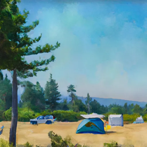
Wilderness Three Sisters
Community Reviews
Been here? Share the conditions.
Reviews, ratings & photos are added in the free Snoflo iOS app — rate a spot, tag the conditions, and your visit is verified by location. Add or manage your reviews from the app.

Wilderness Three Sisters
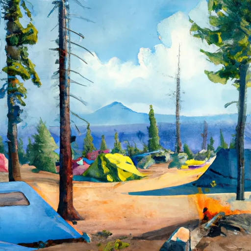
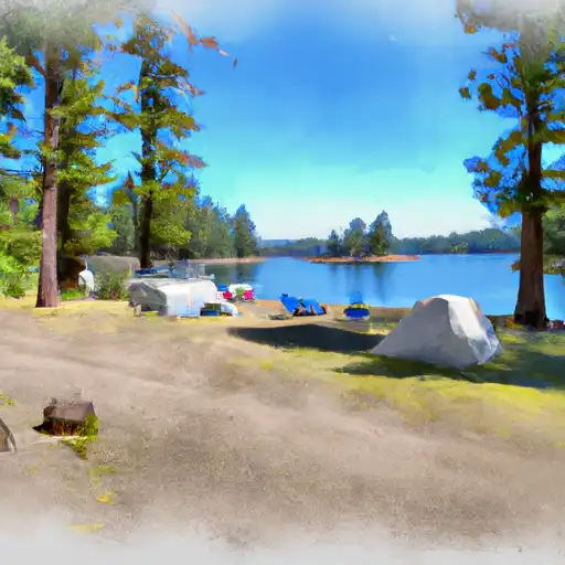
One of the primary reasons to visit the Three Sisters Wilderness is the breathtaking scenery it offers. The area is dominated by three impressive volcanic peaks, known as the Three Sisters, which are among the tallest mountains in Oregon. These majestic peaks provide a striking backdrop to the surrounding landscape, which comprises alpine meadows, crystal-clear lakes, cascading waterfalls, and dense forests.
Several points of interest within the wilderness area are worth exploring. Proxy Falls is a notable attraction, featuring two stunning waterfalls that plunge through moss-covered basalt columns. The Obsidian Limited Entry Area is another highlight, renowned for its unique geological formations, including obsidian flows and colorful wildflowers. Additionally, the Pacific Crest Trail traverses through the wilderness, offering hikers an opportunity to embark on a long-distance adventure.
Some interesting facts about the Three Sisters Wilderness include its status as one of the original wilderness areas designated by the Wilderness Act of 1964. The wilderness covers an expansive area of over 286,708 acres, making it the second-largest wilderness in Oregon. The Three Sisters Mountains themselves—North Sister, Middle Sister, and South Sister—are remnants of a complex volcanic history that shaped this region.
The best time to visit the Three Sisters Wilderness depends on the activities you wish to pursue. Summer, from June to September, is the prime season for hiking, backpacking, and camping. During this time, the weather is generally pleasant, and the trails are more accessible. However, it is worth noting that some higher elevation trails may still be snow-covered until late June or early July. Fall, with its vibrant foliage, can also be a beautiful time to visit. Winter in the wilderness brings abundant snowfall, offering excellent opportunities for snowshoeing and cross-country skiing.
To ensure the accuracy of this summary, it is advisable to verify the information provided across multiple independent sources, such as official websites, travel guides, and reputable tourism organizations specializing in Oregon's wilderness areas.
Snowpack in Wilderness Three Sisters
Current snow depth at SNOTEL stations inside the park boundary.
Trails in Wilderness Three Sisters
Named trails whose route falls inside the park.
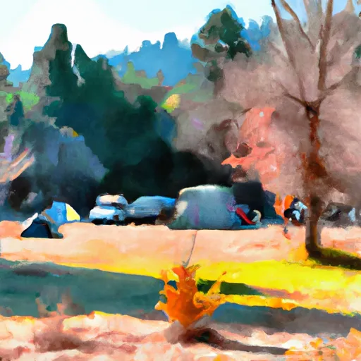
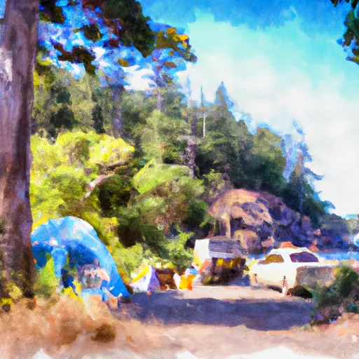
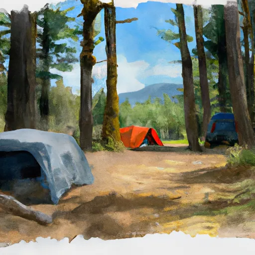
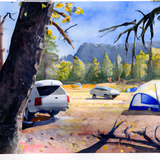
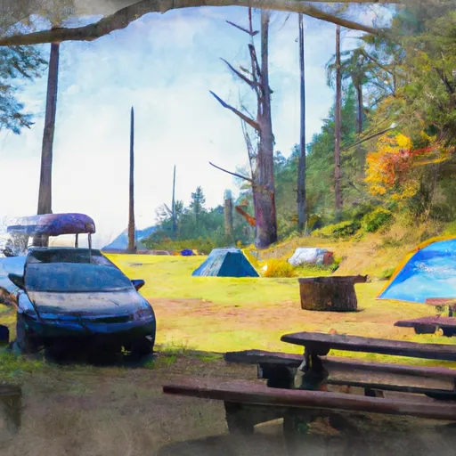
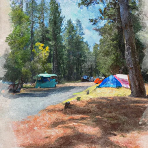
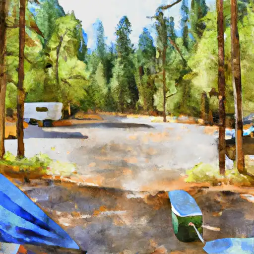
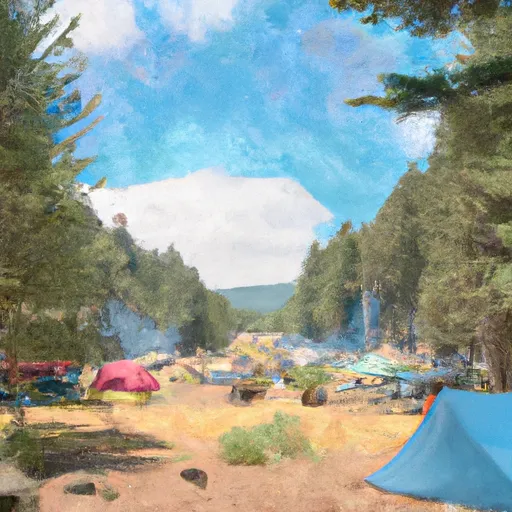
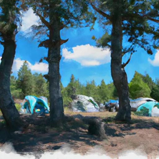
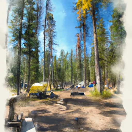
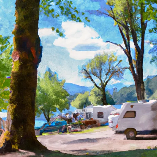
Camping in Wilderness Three Sisters
Campgrounds inside the park, with today's conditions score.
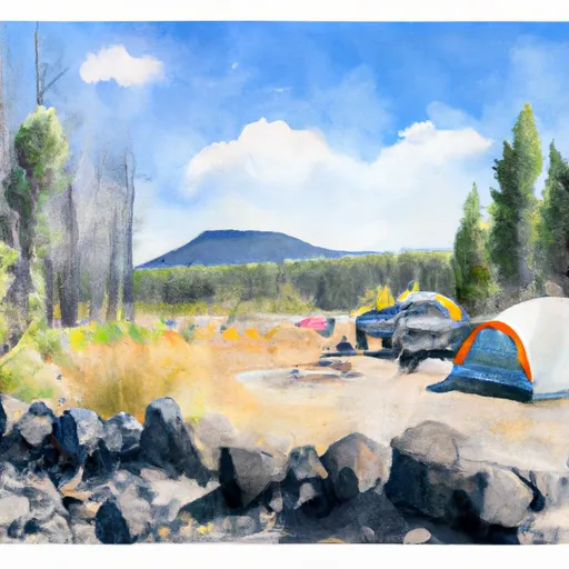
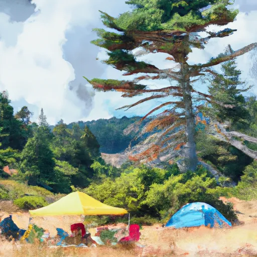
Points of interest in Wilderness Three Sisters
Landmarks and points of interest inside the park boundary.

Plan your visit down to the hour
Same weather feed Snoflo's iOS app uses -- updated continuously from NOAA / yr.no.
Next 5 days, hour by hour
Temperature line with weather symbols on top, snow + rain accumulation as columns, humidity as a dotted line.
5-day forecast table
Every 3 hours, broken out across temperature, snow, rain, humidity, and wind.
| Time | Condition | Temp (°F) | Snow (in) | Rain (in) | Humidity (%) | Wind (mps) | Wind dir |
|---|---|---|---|---|---|---|---|
| Loading detailed forecast… | |||||||
15-day temperature & precipitation
Daily temperatures, snow, and rain projected over the next two weeks.
Responsible recreation & Leave No Trace
- Know before you go
- Check the operator's site for hours, permit requirements, seasonal closures, and fire restrictions before heading out.
- Stay on trail
- Stick to marked paths to protect vegetation, prevent erosion, and avoid disturbing wildlife habitat.
- Respect wildlife
- Observe from a distance, never feed wildlife, and store food securely if camping is permitted on-site.
- Pack it in, pack it out
- Carry out all trash, food scraps, and gear. Many parks have limited or no trash service.
- Leave what you find
- Don't take rocks, plants, or artifacts. They make the park what it is for the next visitor.
Set push alerts in the Snoflo app
Save Wilderness Three Sisters as a favorite, set a custom threshold (precipitation, freezing temperatures, fire-restriction days), and the iOS app will push the moment conditions cross.
About Wilderness Three Sisters
What can I do at Wilderness Three Sisters?
Most Snoflo-tracked parks support hiking, picnicking, and wildlife viewing. Check the operator's site for activity-specific rules (camping, fishing, paddling, hunting).
How fresh is the weather data?
The hourly forecast updates throughout the day from NOAA / yr.no. Streamflow comes live from USGS streamgauges.
When is the best time to visit?
Use the 15-day temperature & precipitation outlook on this page to plan -- pick a window with comfortable temperatures and low precipitation.
How do I get to Wilderness Three Sisters?
Tap Directions in the hero above to open driving directions in Google Maps, or Open in map to center the Snoflo interactive map on the park.
Can I get alerts when conditions change?
Yes -- alerts are managed in the Snoflo iOS app. Favorite this park, set a threshold (temperature, precipitation), and you'll get a push the moment it crosses.
Park & land designation reference
A quick legend for the federal and state land categories Snoflo tracks. Each designation comes with different rules around access, recreation, and resource extraction.
- National Park
- Large protected natural areas managed by the federal government to preserve significant landscapes, ecosystems, and cultural resources; recreation is allowed but conservation is the priority.
- State Park
- Public natural or recreational areas managed by a state government, typically smaller than national parks and focused on regional natural features, recreation, and education.
- Local Park
- Community-level parks managed by cities or counties, emphasizing recreation, playgrounds, sports, and green space close to populated areas.
- Wilderness Area
- The highest level of land protection in the U.S.; designated areas where nature is left essentially untouched, with no roads, structures, or motorized motorized access permitted.
- National Recreation Area
- Areas set aside primarily for outdoor recreation (boating, hiking, fishing, often around reservoirs, rivers, or scenic landscapes); may allow more development.
- National Conservation Area (BLM)
- BLM-managed areas with special ecological, cultural, or scientific value; more protection than typical BLM land but less strict than Wilderness Areas.
- State Forest
- State-managed forests focused on habitat, watershed, recreation, and sustainable timber harvest.
- Bureau of Land Management (BLM) Land
- Vast federal lands managed for mixed use -- recreation, grazing, mining, conservation -- with fewer restrictions than national parks or forests.