Peace Arch State Park
Leave a RatingLast Updated: February 11, 2026
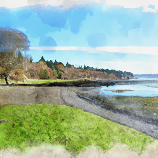
Peace Arch State Park is a beautiful park located in the state of Washington, near the Canadian border.
Summary
The park is named after the 67-foot Peace Arch monument that sits at the border between the United States and Canada. The monument is a symbol of friendship and peace between the two countries.
There are many good reasons to visit Peace Arch State Park. The park has a large picnic area, a playground for children, and a beach area where visitors can swim, fish, and boat. The park also has several hiking and biking trails that offer stunning views of the surrounding area.
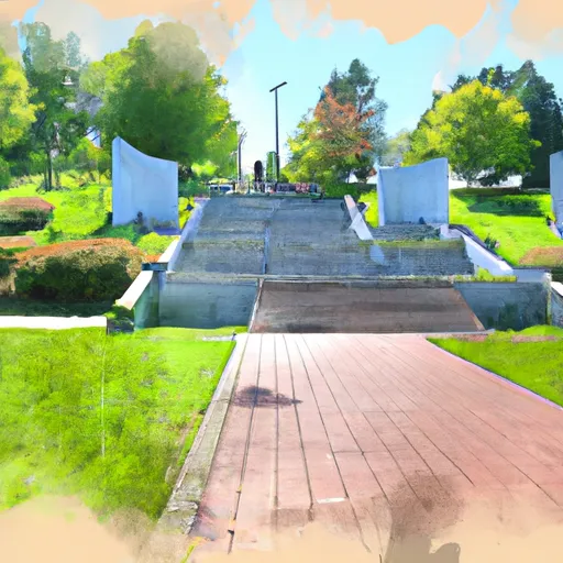
Some of the specific points of interest to see at Peace Arch State Park include the Peace Arch monument, the International Peace Garden, and the interpretive center, which offers information about the history and culture of the area.
Interesting facts about the park include that it was created in 1921 as a symbol of peace between the United States and Canada, and that the monument was built in 1921 by the Vancouver and Seattle chapters of the Daughters of the American Revolution.
The best time of year to visit Peace Arch State Park is during the summer months, when the weather is warm and sunny. However, the park is open year-round and visitors can enjoy snowshoeing and cross-country skiing during the winter months.
Overall, Peace Arch State Park is a must-visit destination for anyone interested in history, nature, and peace. The park offers a unique opportunity to experience the beauty of the Pacific Northwest while also learning about the important cultural and historical significance of the area.
°F
°F
mph
Wind
%
Humidity
15-Day Weather Outlook
5-Day Hourly Forecast Detail
Park & Land Designation Reference
Large protected natural areas managed by the federal government to preserve significant landscapes, ecosystems, and cultural resources; recreation is allowed but conservation is the priority.
State Park
Public natural or recreational areas managed by a state government, typically smaller than national parks and focused on regional natural features, recreation, and education.
Local Park
Community-level parks managed by cities or counties, emphasizing recreation, playgrounds, sports, and green space close to populated areas.
Wilderness Area
The highest level of land protection in the U.S.; designated areas where nature is left essentially untouched, with no roads, structures, or motorized access permitted.
National Recreation Area
Areas set aside primarily for outdoor recreation (boating, hiking, fishing), often around reservoirs, rivers, or scenic landscapes; may allow more development.
National Conservation Area (BLM)
BLM-managed areas with special ecological, cultural, or scientific value; more protection than typical BLM land but less strict than Wilderness Areas.
State Forest
State-managed forests focused on habitat, watershed, recreation, and sustainable timber harvest.
National Forest
Federally managed lands focused on multiple use—recreation, wildlife habitat, watershed protection, and resource extraction (like timber)—unlike the stricter protections of national parks.
Wilderness
A protected area set aside to conserve specific resources—such as wildlife, habitats, or scientific features—with regulations varying widely depending on the managing agency and purpose.
Bureau of Land Management (BLM) Land
Vast federal lands managed for mixed use—recreation, grazing, mining, conservation—with fewer restrictions than national parks or forests.
Related References

 Birch Bay State Park
 Lake Terrell State Game Refuge
 Berthusen Memorial Park
 M H Park