Wilderness Alpine Lakes
Community Reviews
Been here? Share the conditions.
Reviews, ratings & photos are added in the free Snoflo iOS app — rate a spot, tag the conditions, and your visit is verified by location. Add or manage your reviews from the app.

Wilderness Alpine Lakes
1. Reasons to Visit:
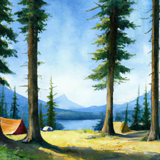
- Scenic Beauty: The Wilderness Alpine Lakes showcase breathtaking landscapes, including towering peaks, alpine meadows, cascading waterfalls, and, of course, the stunning alpine lakes themselves.
- Outdoor Activities: The region offers a wide array of activities, such as hiking, backpacking, camping, fishing, boating, kayaking, and wildlife viewing. Whether you're an avid hiker or prefer a leisurely stroll, there are trails for all skill levels.
- Solitude and Serenity: Wilderness Alpine Lakes provide an escape from the bustling city life, offering visitors a chance to unwind in the calm and peaceful surroundings of nature.
2. Points of Interest:
- Enchantments: Located in the Alpine Lakes Wilderness, the Enchantments is a popular destination known for its dramatic granite peaks, pristine alpine lakes, and vibrant meadows. The region offers challenging hikes, stunning vistas, and unparalleled beauty.
- Lake Ann: Situated in the Mount Baker-Snoqualmie National Forest, Lake Ann is a picturesque alpine lake with turquoise waters and panoramic views of Mount Baker and the surrounding peaks. It is a great spot for camping and hiking.
- Colchuck Lake: Nestled in the Cascades, Colchuck Lake captivates visitors with its emerald waters and towering granite peaks. It is a gateway to the renowned Enchantments, but even the hike to the lake alone is rewarding.
- Snow Lake: Located near Snoqualmie Pass, Snow Lake is a popular destination for day hikes and overnight camping. It offers breathtaking views, crystal-clear waters, and opportunities for swimming and fishing.
3. Interesting Facts:
- Alpine Lakes Wilderness: Spanning over 390,000 acres, the Alpine Lakes Wilderness is home to approximately 700 mountain lakes and over 600 miles of trails.
- Protection and Preservation: The Wilderness Act of 1964 designated the Alpine Lakes Wilderness as a protected area, ensuring the preservation of its natural features for future generations.
- Glacial Influence: Many of the alpine lakes in the region were formed by glaciers during the last Ice Age, giving them their distinct blue and green hues.
4. Best Time to Visit:
The best time to visit Wilderness Alpine Lakes largely depends on your preferred activities. Summer (July to September) offers the warmest weather, open trails, and access to alpine lakes for activities like swimming and boating. However, it's also the busiest time, so expect more crowds. Spring (April to June) and fall (October) provide milder temperatures, fewer visitors, and vibrant foliage. Winter (November to March) brings snow, making it ideal for snowshoeing, cross-country skiing, and winter camping, but be prepared for challenging conditions.
It is crucial to verify this information across multiple independent sources to ensure accuracy, as conditions and details may vary.
Snowpack in Wilderness Alpine Lakes
Current snow depth at SNOTEL stations inside the park boundary.
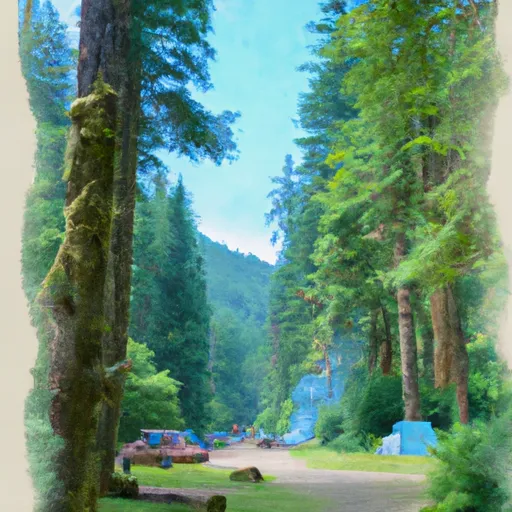
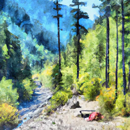
Trails in Wilderness Alpine Lakes
Named trails whose route falls inside the park.
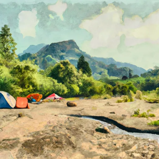
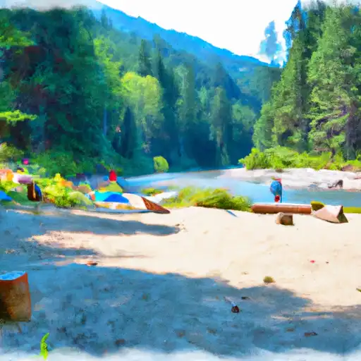
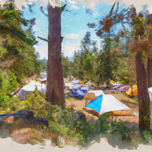
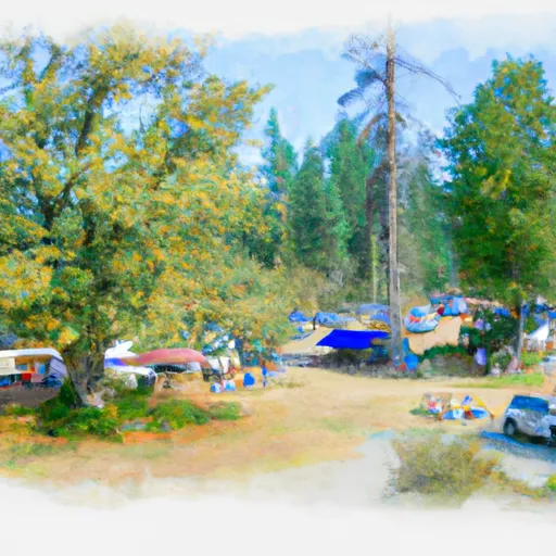
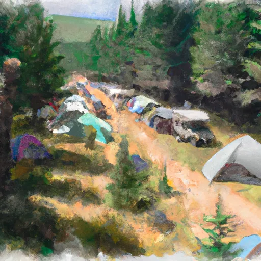
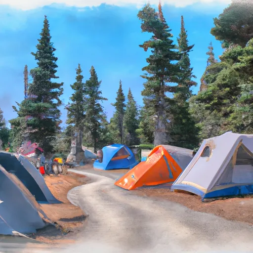
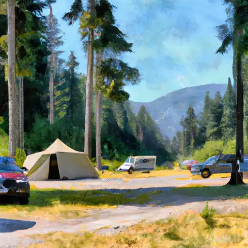
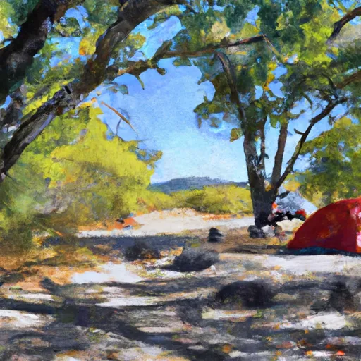
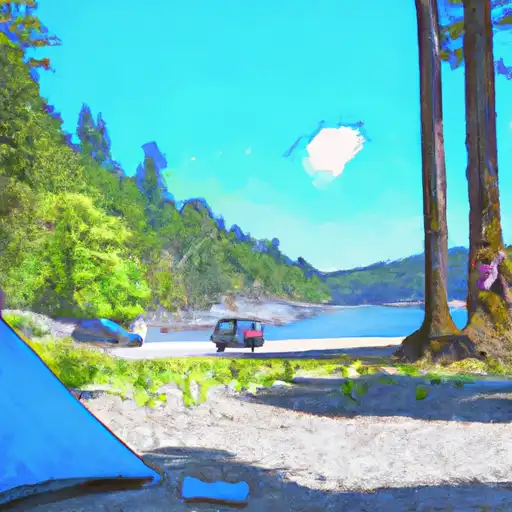
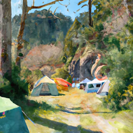
Camping in Wilderness Alpine Lakes
Campgrounds inside the park, with today's conditions score.

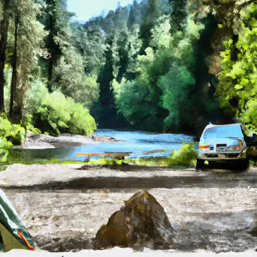
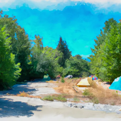


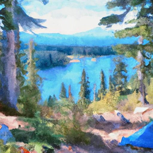


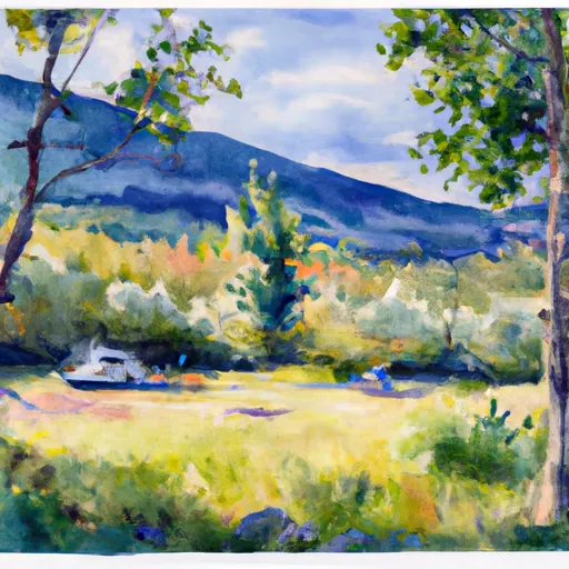

Points of interest in Wilderness Alpine Lakes
Landmarks and points of interest inside the park boundary.


Plan your visit down to the hour
Same weather feed Snoflo's iOS app uses -- updated continuously from NOAA / yr.no.
Next 5 days, hour by hour
Temperature line with weather symbols on top, snow + rain accumulation as columns, humidity as a dotted line.
5-day forecast table
Every 3 hours, broken out across temperature, snow, rain, humidity, and wind.
| Time | Condition | Temp (°F) | Snow (in) | Rain (in) | Humidity (%) | Wind (mps) | Wind dir |
|---|---|---|---|---|---|---|---|
| Loading detailed forecast… | |||||||
15-day temperature & precipitation
Daily temperatures, snow, and rain projected over the next two weeks.
Responsible recreation & Leave No Trace
- Know before you go
- Check the operator's site for hours, permit requirements, seasonal closures, and fire restrictions before heading out.
- Stay on trail
- Stick to marked paths to protect vegetation, prevent erosion, and avoid disturbing wildlife habitat.
- Respect wildlife
- Observe from a distance, never feed wildlife, and store food securely if camping is permitted on-site.
- Pack it in, pack it out
- Carry out all trash, food scraps, and gear. Many parks have limited or no trash service.
- Leave what you find
- Don't take rocks, plants, or artifacts. They make the park what it is for the next visitor.
Set push alerts in the Snoflo app
Save Wilderness Alpine Lakes as a favorite, set a custom threshold (precipitation, freezing temperatures, fire-restriction days), and the iOS app will push the moment conditions cross.
About Wilderness Alpine Lakes
What can I do at Wilderness Alpine Lakes?
Most Snoflo-tracked parks support hiking, picnicking, and wildlife viewing. Check the operator's site for activity-specific rules (camping, fishing, paddling, hunting).
How fresh is the weather data?
The hourly forecast updates throughout the day from NOAA / yr.no. Streamflow comes live from USGS streamgauges.
When is the best time to visit?
Use the 15-day temperature & precipitation outlook on this page to plan -- pick a window with comfortable temperatures and low precipitation.
How do I get to Wilderness Alpine Lakes?
Tap Directions in the hero above to open driving directions in Google Maps, or Open in map to center the Snoflo interactive map on the park.
Can I get alerts when conditions change?
Yes -- alerts are managed in the Snoflo iOS app. Favorite this park, set a threshold (temperature, precipitation), and you'll get a push the moment it crosses.
Park & land designation reference
A quick legend for the federal and state land categories Snoflo tracks. Each designation comes with different rules around access, recreation, and resource extraction.
- National Park
- Large protected natural areas managed by the federal government to preserve significant landscapes, ecosystems, and cultural resources; recreation is allowed but conservation is the priority.
- State Park
- Public natural or recreational areas managed by a state government, typically smaller than national parks and focused on regional natural features, recreation, and education.
- Local Park
- Community-level parks managed by cities or counties, emphasizing recreation, playgrounds, sports, and green space close to populated areas.
- Wilderness Area
- The highest level of land protection in the U.S.; designated areas where nature is left essentially untouched, with no roads, structures, or motorized motorized access permitted.
- National Recreation Area
- Areas set aside primarily for outdoor recreation (boating, hiking, fishing, often around reservoirs, rivers, or scenic landscapes); may allow more development.
- National Conservation Area (BLM)
- BLM-managed areas with special ecological, cultural, or scientific value; more protection than typical BLM land but less strict than Wilderness Areas.
- State Forest
- State-managed forests focused on habitat, watershed, recreation, and sustainable timber harvest.
- Bureau of Land Management (BLM) Land
- Vast federal lands managed for mixed use -- recreation, grazing, mining, conservation -- with fewer restrictions than national parks or forests.