Wilderness Laurel Fork
Community Reviews
Been here? Share the conditions.
Reviews, ratings & photos are added in the free Snoflo iOS app — rate a spot, tag the conditions, and your visit is verified by location. Add or manage your reviews from the app.

Wilderness Laurel Fork
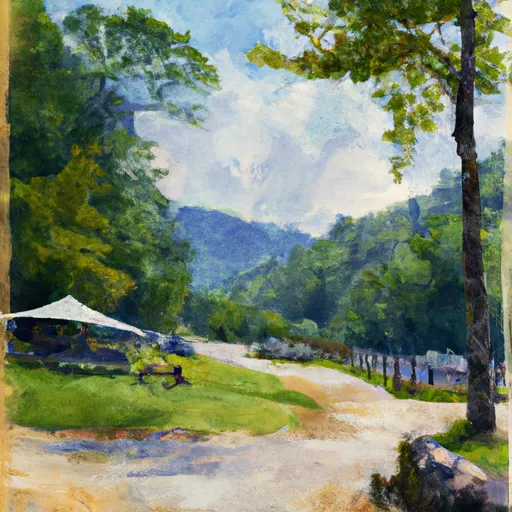
One of the primary reasons to visit Wilderness Laurel Fork is the breathtaking natural beauty it offers. The area features stunning landscapes, including lush forests, cascading waterfalls, and crystal-clear streams. The wilderness also boasts an abundance of diverse flora and fauna, making it an ideal spot for birdwatching and wildlife observation.
Many points of interest within Wilderness Laurel Fork are worth exploring. The area is renowned for its numerous hiking trails, which cater to varying difficulty levels. These trails lead visitors through the wilderness, offering opportunities to discover hidden gems such as the picturesque Mossy Rock and the serene Laurel Fork Falls, a stunning waterfall that drops around 25 feet into a crystal clear pool.
For history buffs, the Laurel Fork North Wilderness Area is home to remnants of old logging camps, giving visitors a glimpse into the area's past. The Spruce Knob-Seneca Rocks National Recreation Area, adjacent to Wilderness Laurel Fork, is also worth a visit. It features the highest point in West Virginia, Spruce Knob, which offers panoramic views of the surrounding mountains.
Interesting facts about Wilderness Laurel Fork and its surrounding area include its rich biodiversity. The Monongahela National Forest, in which the wilderness is located, is one of the most ecologically diverse areas in the United States. It is home to rare species such as the Cheat Mountain salamander and the West Virginia northern flying squirrel.
The best time of year to visit Wilderness Laurel Fork is during the summer and fall months. Summer offers pleasant temperatures for hiking and exploration, while fall treats visitors to the beautiful colors of changing leaves. It's important to note that winter can bring harsh weather conditions and limited accessibility to certain areas.
To ensure accuracy, it is recommended to verify the information provided about Wilderness Laurel Fork across multiple independent sources, such as official websites of the Monongahela National Forest, local tourism websites, and reputable travel guides.
Trails in Wilderness Laurel Fork
Named trails whose route falls inside the park.
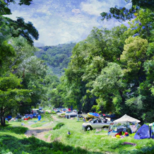
Camping in Wilderness Laurel Fork
Campgrounds inside the park, with today's conditions score.
Plan your visit down to the hour
Same weather feed Snoflo's iOS app uses -- updated continuously from NOAA / yr.no.
Next 5 days, hour by hour
Temperature line with weather symbols on top, snow + rain accumulation as columns, humidity as a dotted line.
5-day forecast table
Every 3 hours, broken out across temperature, snow, rain, humidity, and wind.
| Time | Condition | Temp (°F) | Snow (in) | Rain (in) | Humidity (%) | Wind (mps) | Wind dir |
|---|---|---|---|---|---|---|---|
| Loading detailed forecast… | |||||||
15-day temperature & precipitation
Daily temperatures, snow, and rain projected over the next two weeks.
Responsible recreation & Leave No Trace
- Know before you go
- Check the operator's site for hours, permit requirements, seasonal closures, and fire restrictions before heading out.
- Stay on trail
- Stick to marked paths to protect vegetation, prevent erosion, and avoid disturbing wildlife habitat.
- Respect wildlife
- Observe from a distance, never feed wildlife, and store food securely if camping is permitted on-site.
- Pack it in, pack it out
- Carry out all trash, food scraps, and gear. Many parks have limited or no trash service.
- Leave what you find
- Don't take rocks, plants, or artifacts. They make the park what it is for the next visitor.
Set push alerts in the Snoflo app
Save Wilderness Laurel Fork as a favorite, set a custom threshold (precipitation, freezing temperatures, fire-restriction days), and the iOS app will push the moment conditions cross.
About Wilderness Laurel Fork
What can I do at Wilderness Laurel Fork?
Most Snoflo-tracked parks support hiking, picnicking, and wildlife viewing. Check the operator's site for activity-specific rules (camping, fishing, paddling, hunting).
How fresh is the weather data?
The hourly forecast updates throughout the day from NOAA / yr.no. Streamflow comes live from USGS streamgauges.
When is the best time to visit?
Use the 15-day temperature & precipitation outlook on this page to plan -- pick a window with comfortable temperatures and low precipitation.
How do I get to Wilderness Laurel Fork?
Tap Directions in the hero above to open driving directions in Google Maps, or Open in map to center the Snoflo interactive map on the park.
Can I get alerts when conditions change?
Yes -- alerts are managed in the Snoflo iOS app. Favorite this park, set a threshold (temperature, precipitation), and you'll get a push the moment it crosses.
Park & land designation reference
A quick legend for the federal and state land categories Snoflo tracks. Each designation comes with different rules around access, recreation, and resource extraction.
- National Park
- Large protected natural areas managed by the federal government to preserve significant landscapes, ecosystems, and cultural resources; recreation is allowed but conservation is the priority.
- State Park
- Public natural or recreational areas managed by a state government, typically smaller than national parks and focused on regional natural features, recreation, and education.
- Local Park
- Community-level parks managed by cities or counties, emphasizing recreation, playgrounds, sports, and green space close to populated areas.
- Wilderness Area
- The highest level of land protection in the U.S.; designated areas where nature is left essentially untouched, with no roads, structures, or motorized motorized access permitted.
- National Recreation Area
- Areas set aside primarily for outdoor recreation (boating, hiking, fishing, often around reservoirs, rivers, or scenic landscapes); may allow more development.
- National Conservation Area (BLM)
- BLM-managed areas with special ecological, cultural, or scientific value; more protection than typical BLM land but less strict than Wilderness Areas.
- State Forest
- State-managed forests focused on habitat, watershed, recreation, and sustainable timber harvest.
- Bureau of Land Management (BLM) Land
- Vast federal lands managed for mixed use -- recreation, grazing, mining, conservation -- with fewer restrictions than national parks or forests.