Washakie Wilderness
Community Reviews
Been here? Share the conditions.
Reviews, ratings & photos are added in the free Snoflo iOS app — rate a spot, tag the conditions, and your visit is verified by location. Add or manage your reviews from the app.

Washakie Wilderness
Reasons to Visit:
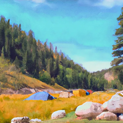
1. Unspoiled Beauty: Washakie Wilderness offers breathtaking and unspoiled beauty, characterized by vast expanses of dense forests, towering mountains, serene lakes, and meandering rivers. Its untouched nature makes it a perfect destination for those seeking solitude and tranquility.
2. Outdoor Recreation: The wilderness area provides ample opportunities for outdoor enthusiasts. Hiking, backpacking, horseback riding, and wildlife watching are popular activities here. The diverse range of landscapes caters to all levels of experience, from novice to expert adventurers.
3. Abundant Wildlife: Visitors to Washakie Wilderness can witness a diverse array of wildlife species. This includes elk, moose, deer, bighorn sheep, black bears, and many others. Birdwatchers will also be delighted by the variety of bird species that call this area home.
4. Cultural and Historical Significance: The wilderness area is named after Chief Washakie, a revered leader of the Eastern Shoshone Nation. Exploring Washakie Wilderness provides an opportunity to appreciate and learn about the cultural heritage of the Eastern Shoshone people.
Points of Interest:
1. Cloud Peak: The highest peak in the Bighorn Mountains, Cloud Peak rises over 13,000 feet (3,962 meters) and offers stunning panoramic views of the surrounding wilderness.
2. Lake Solitude: Nestled amidst the rugged mountains, Lake Solitude provides a serene escape and an ideal spot for fishing, camping, or simply enjoying the peaceful ambiance of the area.
3. Mirror Lake: This picturesque lake reflects the towering peaks surrounding it, creating a breathtaking sight for visitors. It is a popular spot for photography and picnicking.
4. Medicine Mountain: Located within the wilderness area, Medicine Mountain is a sacred site for Native American tribes. It features ancient petroglyphs and carvings, representing the rich cultural heritage of the region.
Interesting Facts:
1. Washakie Wilderness covers an area of approximately 704,274 acres (2,847 square kilometers).
2. It is part of the Bighorn National Forest and is managed by the U.S. Forest Service.
3. The area provides critical habitat for numerous wildlife species, including threatened and endangered ones, such as the Canada lynx and gray wolf.
4. The wilderness area contains over 180 miles (290 kilometers) of trails, offering ample opportunities for exploration and adventure.
Best Time to Visit:
The best time to visit Washakie Wilderness is during the summer months, from June to September. During this period, the weather is generally mild, allowing for pleasant hiking and camping experiences. However, it is important to note that the weather can change rapidly in the mountains, so visitors should come prepared with appropriate gear and be aware of potential thunderstorms.
Sources:
- USDA Forest Service: Bighorn National Forest - Washakie Wilderness
- Wyoming Office of Tourism: Washakie Wilderness
Streamflow in Washakie Wilderness
Live USGS discharge at streamgauges inside the park boundary.
Snowpack in Washakie Wilderness
Current snow depth at SNOTEL stations inside the park boundary.
Trails in Washakie Wilderness
Named trails whose route falls inside the park.
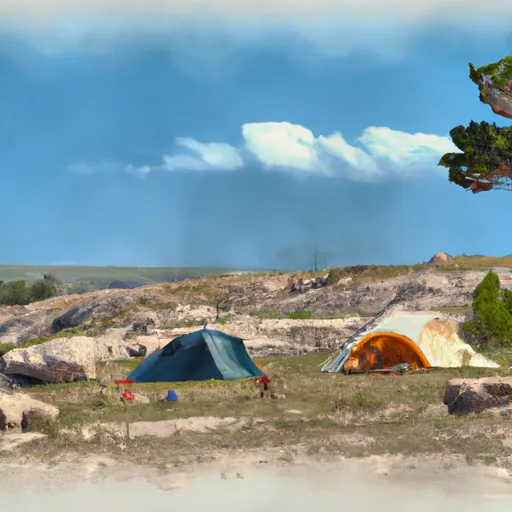
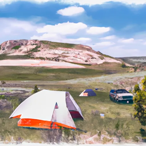
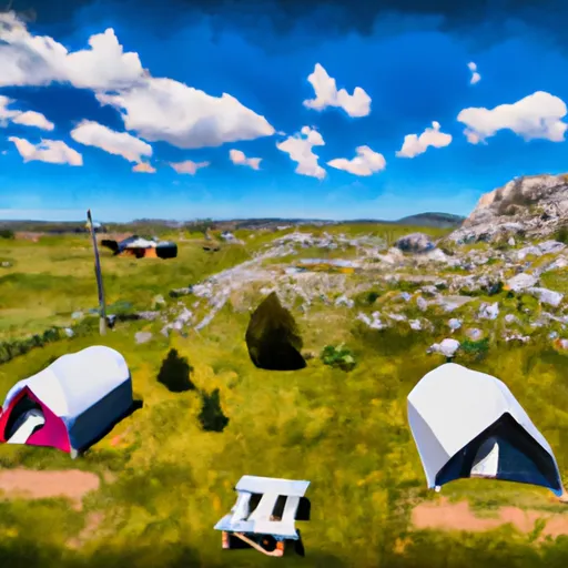
Camping in Washakie Wilderness
Campgrounds inside the park, with today's conditions score.
Points of interest in Washakie Wilderness
Landmarks and points of interest inside the park boundary.


Plan your visit down to the hour
Same weather feed Snoflo's iOS app uses -- updated continuously from NOAA / yr.no.
Next 5 days, hour by hour
Temperature line with weather symbols on top, snow + rain accumulation as columns, humidity as a dotted line.
5-day forecast table
Every 3 hours, broken out across temperature, snow, rain, humidity, and wind.
| Time | Condition | Temp (°F) | Snow (in) | Rain (in) | Humidity (%) | Wind (mps) | Wind dir |
|---|---|---|---|---|---|---|---|
| Loading detailed forecast… | |||||||
15-day temperature & precipitation
Daily temperatures, snow, and rain projected over the next two weeks.
Responsible recreation & Leave No Trace
- Know before you go
- Check the operator's site for hours, permit requirements, seasonal closures, and fire restrictions before heading out.
- Stay on trail
- Stick to marked paths to protect vegetation, prevent erosion, and avoid disturbing wildlife habitat.
- Respect wildlife
- Observe from a distance, never feed wildlife, and store food securely if camping is permitted on-site.
- Pack it in, pack it out
- Carry out all trash, food scraps, and gear. Many parks have limited or no trash service.
- Leave what you find
- Don't take rocks, plants, or artifacts. They make the park what it is for the next visitor.
Set push alerts in the Snoflo app
Save Washakie Wilderness as a favorite, set a custom threshold (precipitation, freezing temperatures, fire-restriction days), and the iOS app will push the moment conditions cross.
About Washakie Wilderness
What can I do at Washakie Wilderness?
Most Snoflo-tracked parks support hiking, picnicking, and wildlife viewing. Check the operator's site for activity-specific rules (camping, fishing, paddling, hunting).
How fresh is the weather data?
The hourly forecast updates throughout the day from NOAA / yr.no. Streamflow comes live from USGS streamgauges.
When is the best time to visit?
Use the 15-day temperature & precipitation outlook on this page to plan -- pick a window with comfortable temperatures and low precipitation.
How do I get to Washakie Wilderness?
Tap Directions in the hero above to open driving directions in Google Maps, or Open in map to center the Snoflo interactive map on the park.
Can I get alerts when conditions change?
Yes -- alerts are managed in the Snoflo iOS app. Favorite this park, set a threshold (temperature, precipitation), and you'll get a push the moment it crosses.
Park & land designation reference
A quick legend for the federal and state land categories Snoflo tracks. Each designation comes with different rules around access, recreation, and resource extraction.
- National Park
- Large protected natural areas managed by the federal government to preserve significant landscapes, ecosystems, and cultural resources; recreation is allowed but conservation is the priority.
- State Park
- Public natural or recreational areas managed by a state government, typically smaller than national parks and focused on regional natural features, recreation, and education.
- Local Park
- Community-level parks managed by cities or counties, emphasizing recreation, playgrounds, sports, and green space close to populated areas.
- Wilderness Area
- The highest level of land protection in the U.S.; designated areas where nature is left essentially untouched, with no roads, structures, or motorized motorized access permitted.
- National Recreation Area
- Areas set aside primarily for outdoor recreation (boating, hiking, fishing, often around reservoirs, rivers, or scenic landscapes); may allow more development.
- National Conservation Area (BLM)
- BLM-managed areas with special ecological, cultural, or scientific value; more protection than typical BLM land but less strict than Wilderness Areas.
- State Forest
- State-managed forests focused on habitat, watershed, recreation, and sustainable timber harvest.
- Bureau of Land Management (BLM) Land
- Vast federal lands managed for mixed use -- recreation, grazing, mining, conservation -- with fewer restrictions than national parks or forests.