Wilderness Bridger
Community Reviews
Been here? Share the conditions.
Reviews, ratings & photos are added in the free Snoflo iOS app — rate a spot, tag the conditions, and your visit is verified by location. Add or manage your reviews from the app.

Wilderness Bridger
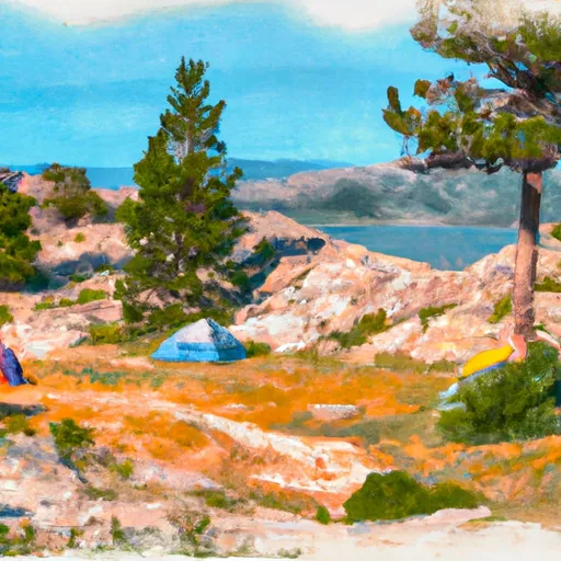
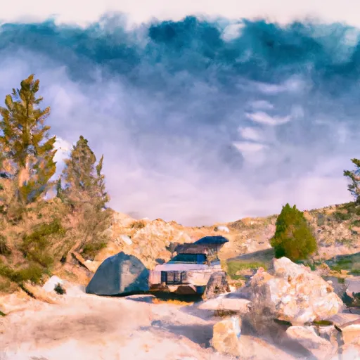
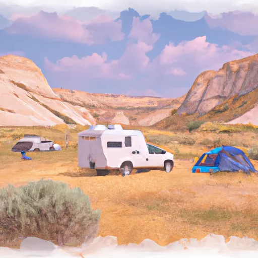
One of the primary reasons to visit Wilderness Bridger is its awe-inspiring scenery. The region boasts breathtaking mountain ranges, including the iconic Teton Range, which is part of the larger Rocky Mountains. These towering peaks provide a stunning backdrop for outdoor enthusiasts and photographers alike.
Wilderness Bridger is also known for its abundant wildlife. Visitors may spot various species such as moose, elk, bison, black bears, and even wolves. The area is home to several national parks and wildlife preserves, including the Grand Teton National Park and the Bridger-Teton National Forest. Exploring these protected areas offers an opportunity to observe and appreciate the diverse flora and fauna.
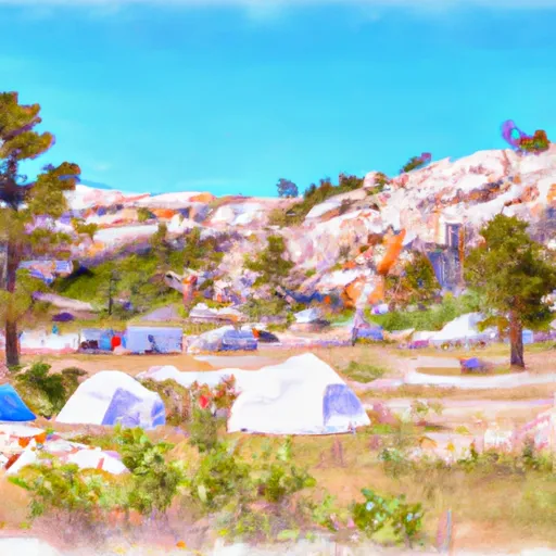
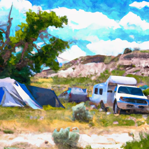
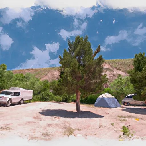
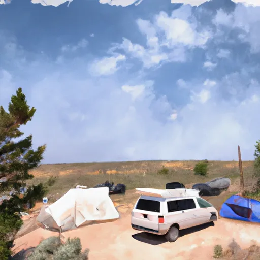
This region is also renowned for its outdoor activities. Hiking enthusiasts can explore numerous trails, ranging from leisurely strolls to challenging treks. Some popular hikes include the Cascade Canyon Trail, Lake Solitude, and the epic Teton Crest Trail. Additionally, Wilderness Bridger provides opportunities for camping, fishing, wildlife viewing, horseback riding, and even river rafting.
Interesting facts about Wilderness Bridger include its historic significance. The area was once frequented by early explorers and fur trappers in the 19th century. It served as a vital trading hub and played a significant role in westward expansion. Today, the region still retains its rugged charm and offers visitors a glimpse into the past.
The best time to visit Wilderness Bridger depends on personal preferences and desired activities. Summer, from June to August, is the peak tourist season when the weather is generally warm and sunny. This period is ideal for hiking, camping, and enjoying the lush greenery. Fall, from September to October, offers stunning foliage colors and fewer crowds. Winter, from December to February, attracts visitors interested in skiing, snowboarding, and other winter sports. Spring, from March to May, is a time of renewal when wildlife emerges, and the landscape begins to bloom.
Multiple independent sources, such as official park websites, travel guides, and reputable outdoor adventure websites, can be consulted to verify the accuracy of the information provided.
Snowpack in Wilderness Bridger
Current snow depth at SNOTEL stations inside the park boundary.
Trails in Wilderness Bridger
Named trails whose route falls inside the park.
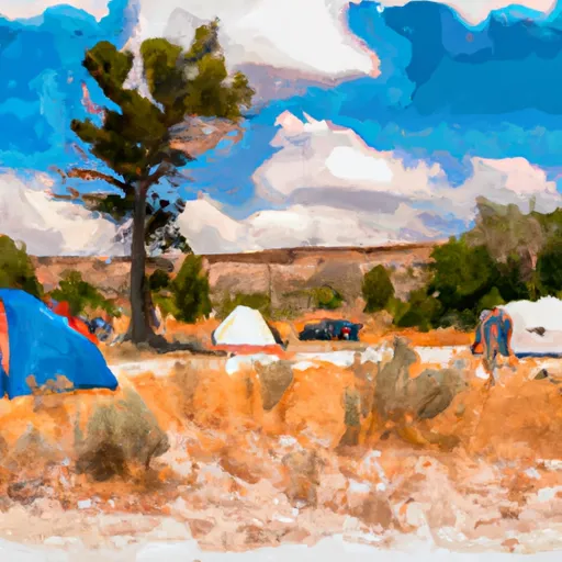
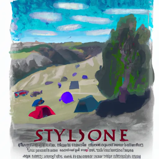
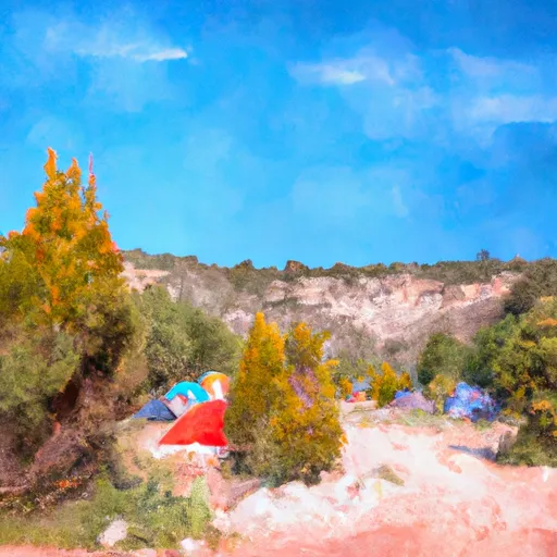
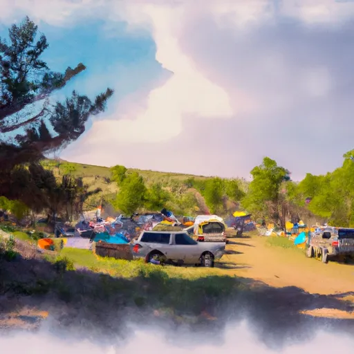
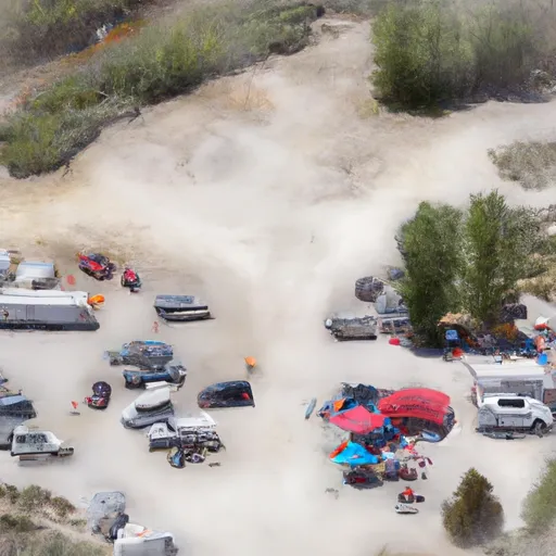
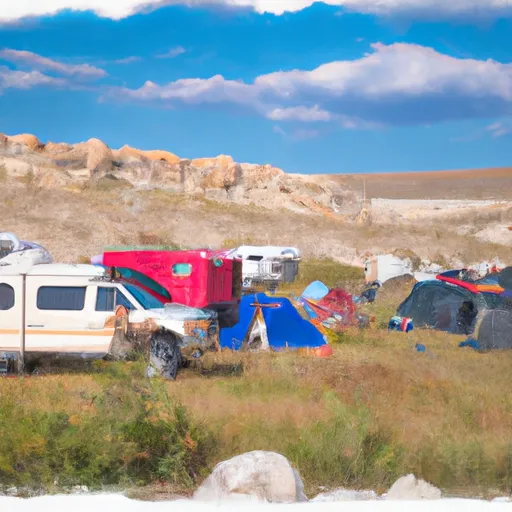
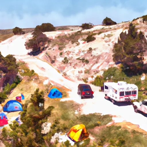
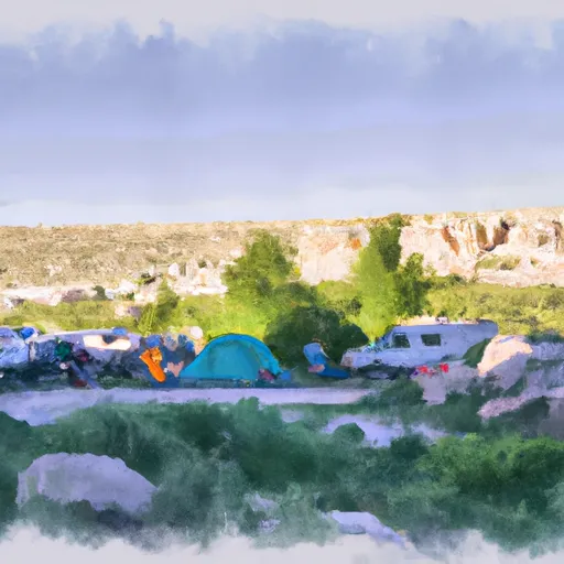
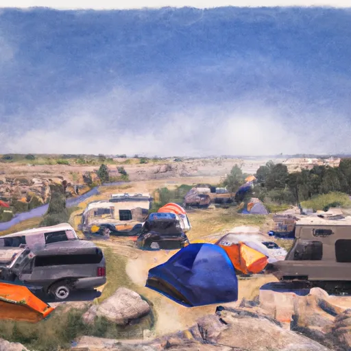
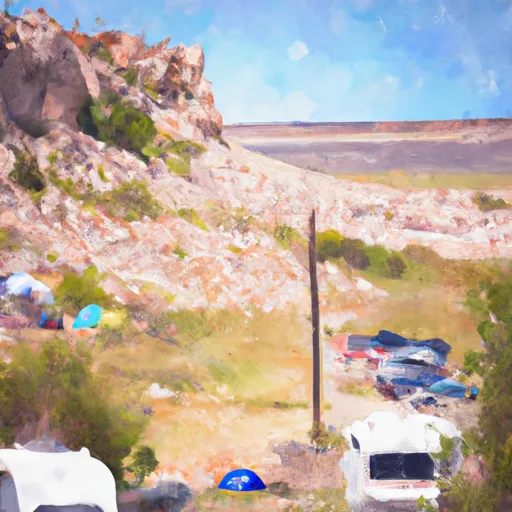
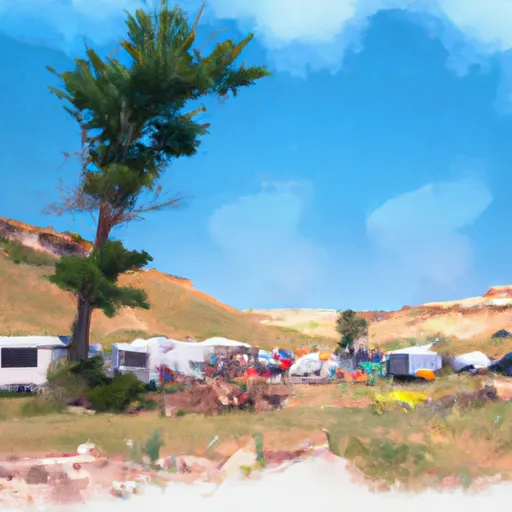
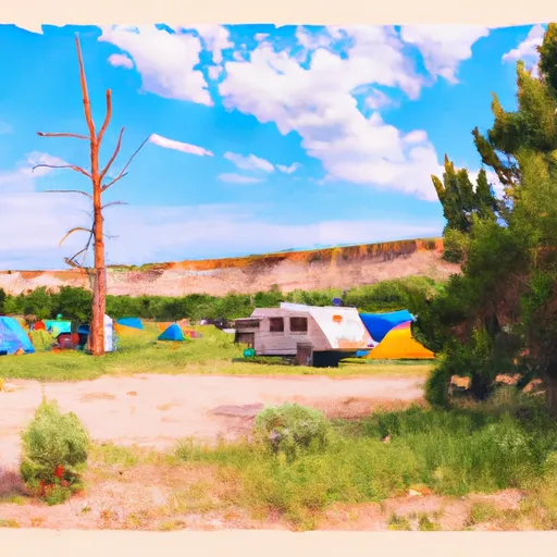
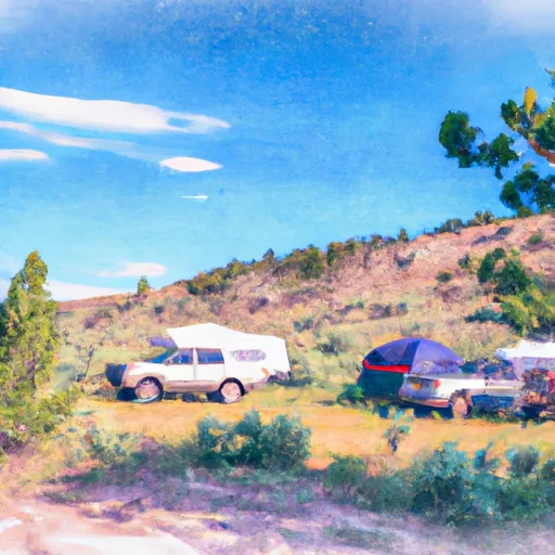
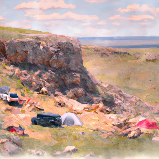
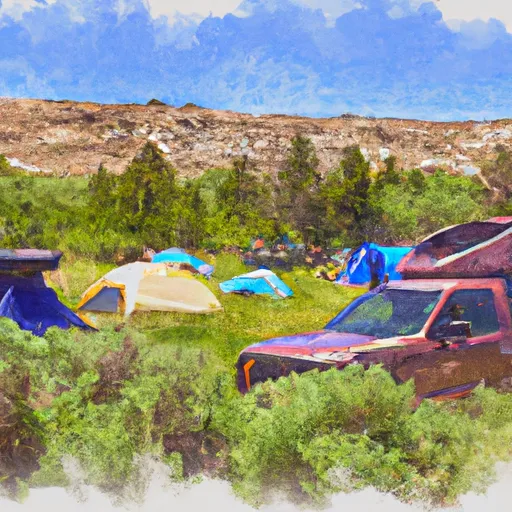
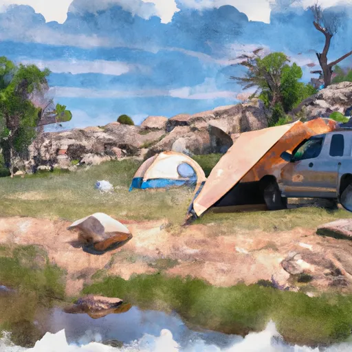
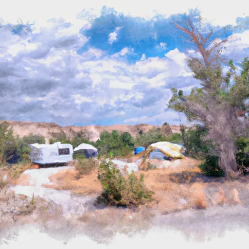
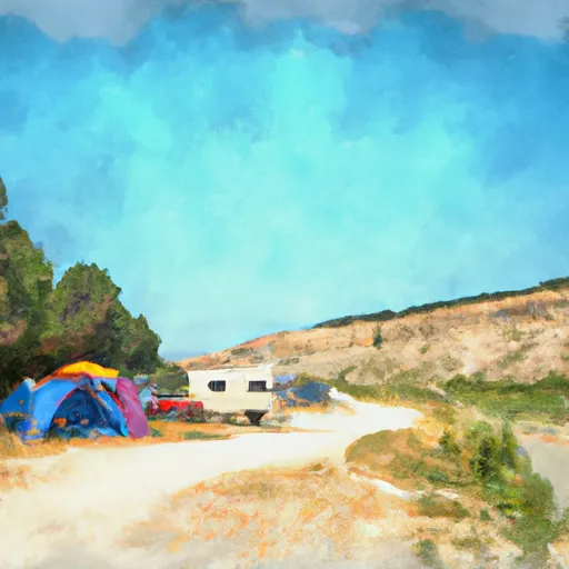
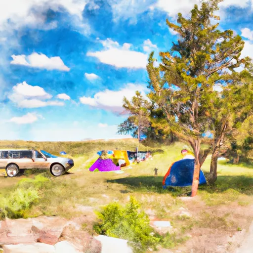
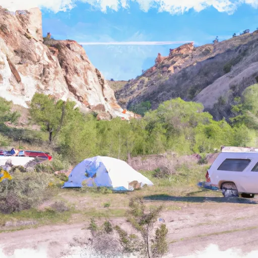
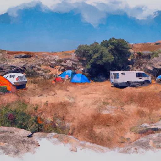
Camping in Wilderness Bridger
Campgrounds inside the park, with today's conditions score.

Plan your visit down to the hour
Same weather feed Snoflo's iOS app uses -- updated continuously from NOAA / yr.no.
Next 5 days, hour by hour
Temperature line with weather symbols on top, snow + rain accumulation as columns, humidity as a dotted line.
5-day forecast table
Every 3 hours, broken out across temperature, snow, rain, humidity, and wind.
| Time | Condition | Temp (°F) | Snow (in) | Rain (in) | Humidity (%) | Wind (mps) | Wind dir |
|---|---|---|---|---|---|---|---|
| Loading detailed forecast… | |||||||
15-day temperature & precipitation
Daily temperatures, snow, and rain projected over the next two weeks.
Responsible recreation & Leave No Trace
- Know before you go
- Check the operator's site for hours, permit requirements, seasonal closures, and fire restrictions before heading out.
- Stay on trail
- Stick to marked paths to protect vegetation, prevent erosion, and avoid disturbing wildlife habitat.
- Respect wildlife
- Observe from a distance, never feed wildlife, and store food securely if camping is permitted on-site.
- Pack it in, pack it out
- Carry out all trash, food scraps, and gear. Many parks have limited or no trash service.
- Leave what you find
- Don't take rocks, plants, or artifacts. They make the park what it is for the next visitor.
Set push alerts in the Snoflo app
Save Wilderness Bridger as a favorite, set a custom threshold (precipitation, freezing temperatures, fire-restriction days), and the iOS app will push the moment conditions cross.
About Wilderness Bridger
What can I do at Wilderness Bridger?
Most Snoflo-tracked parks support hiking, picnicking, and wildlife viewing. Check the operator's site for activity-specific rules (camping, fishing, paddling, hunting).
How fresh is the weather data?
The hourly forecast updates throughout the day from NOAA / yr.no. Streamflow comes live from USGS streamgauges.
When is the best time to visit?
Use the 15-day temperature & precipitation outlook on this page to plan -- pick a window with comfortable temperatures and low precipitation.
How do I get to Wilderness Bridger?
Tap Directions in the hero above to open driving directions in Google Maps, or Open in map to center the Snoflo interactive map on the park.
Can I get alerts when conditions change?
Yes -- alerts are managed in the Snoflo iOS app. Favorite this park, set a threshold (temperature, precipitation), and you'll get a push the moment it crosses.
Park & land designation reference
A quick legend for the federal and state land categories Snoflo tracks. Each designation comes with different rules around access, recreation, and resource extraction.
- National Park
- Large protected natural areas managed by the federal government to preserve significant landscapes, ecosystems, and cultural resources; recreation is allowed but conservation is the priority.
- State Park
- Public natural or recreational areas managed by a state government, typically smaller than national parks and focused on regional natural features, recreation, and education.
- Local Park
- Community-level parks managed by cities or counties, emphasizing recreation, playgrounds, sports, and green space close to populated areas.
- Wilderness Area
- The highest level of land protection in the U.S.; designated areas where nature is left essentially untouched, with no roads, structures, or motorized motorized access permitted.
- National Recreation Area
- Areas set aside primarily for outdoor recreation (boating, hiking, fishing, often around reservoirs, rivers, or scenic landscapes); may allow more development.
- National Conservation Area (BLM)
- BLM-managed areas with special ecological, cultural, or scientific value; more protection than typical BLM land but less strict than Wilderness Areas.
- State Forest
- State-managed forests focused on habitat, watershed, recreation, and sustainable timber harvest.
- Bureau of Land Management (BLM) Land
- Vast federal lands managed for mixed use -- recreation, grazing, mining, conservation -- with fewer restrictions than national parks or forests.