Summary
This scenic trail is known for its breathtaking views and challenging terrain, making it perfect for outdoor enthusiasts seeking adventure and natural beauty.
One of the primary reasons to visit the Sugarloaf Mountain Trail is the stunning panoramic views from the summit. From the top, visitors can see miles of desert landscape, including vast expanses of saguaro cactus forests and rocky canyons.
The trail itself is also worth exploring, as it winds through rich flora and fauna, including various bird species, reptiles, and small mammals. The hike is moderately difficult, with steep inclines, rocky terrain, and narrow passageways, making it a perfect challenge for experienced hikers.
Unique features of the Sugarloaf Mountain Trail include ancient Hohokam petroglyphs, which are believed to be over a thousand years old. Visitors can also see evidence of the area's mining history, including old mining equipment and abandoned mines.
Overall, the Sugarloaf Mountain Trail is an excellent choice for those seeking adventure, natural beauty, and a glimpse into Arizona's rich history.
°F
°F
mph
Wind
%
Humidity
15-Day Weather Outlook
5-Day Hourly Forecast Detail
Area Campgrounds
| Location | Reservations | Toilets |
|---|---|---|
 Bonita Canyon - Chiricahua National Monument
|
||
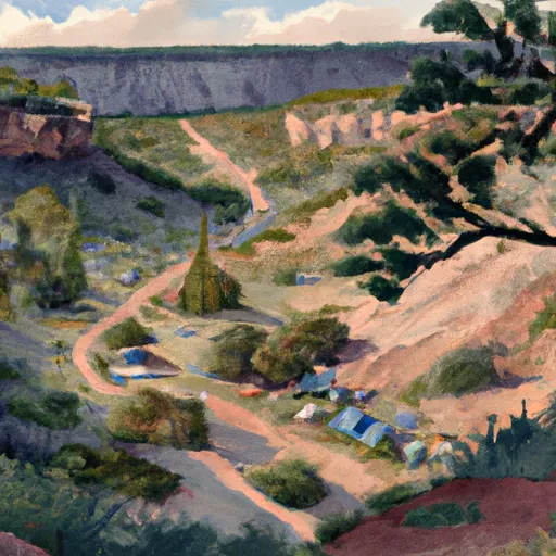 Bonita Canyon
|
||
 Pinery Canyon Campground
|
||
 Pinery Canyon
|
||
 Barfoot Park Campground
|
||
 Rustler Park
|
