Summary
This area is known for its unique geological formations, stunning landscapes, and diverse flora and fauna, making it a must-visit destination for nature lovers and outdoor enthusiasts.
The Turkey Creek Caldera is a volcanic crater that was formed over 27 million years ago, and it is one of the most well-preserved calderas in North America. This massive depression is surrounded by a rim of cliffs and peaks, creating a breathtaking view that is sure to leave visitors in awe. The caldera is also home to several streams and waterfalls, which add to the area's natural beauty.
One of the most unique things about Turkey Creek Caldera is its diverse wildlife. Visitors may have the opportunity to see a variety of animals, including black bears, mountain lions, elk, and mule deer. In addition, the area is home to over 170 species of birds, making it a popular destination for bird watchers.
There are several hiking trails in the Turkey Creek Caldera area, which range from easy to challenging. These trails offer stunning views of the surrounding landscape and provide visitors with the opportunity to explore the caldera's geological wonders up close. Some of the most popular trails include the Turkey Creek Trail, the Round the Mountain Trail, and the Angora Trail.
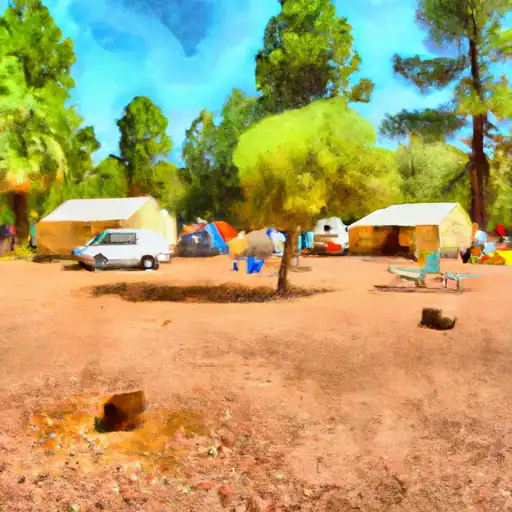
In addition to hiking, visitors can also engage in other outdoor activities, such as camping, fishing, and rock climbing. The area is also popular for hunting, with a variety of game species available during hunting season.
Overall, Turkey Creek Caldera is a unique and stunning point of interest that is well worth a visit. Whether you're interested in hiking, wildlife watching, or simply taking in the breathtaking views, this area has something for everyone. So, if you're planning a trip to Arizona, be sure to add Turkey Creek Caldera to your itinerary!
°F
°F
mph
Wind
%
Humidity
15-Day Weather Outlook
5-Day Hourly Forecast Detail
Area Campgrounds
| Location | Reservations | Toilets |
|---|---|---|
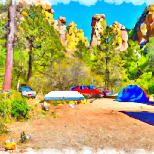 Bonita Canyon - Chiricahua National Monument
|
||
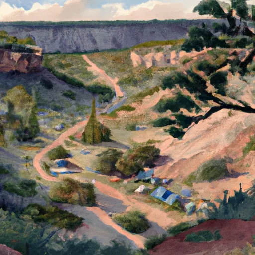 Bonita Canyon
|
||
 Pinery Canyon Campground
|
||
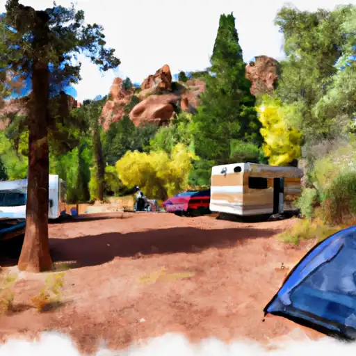 Pinery Canyon
|
||
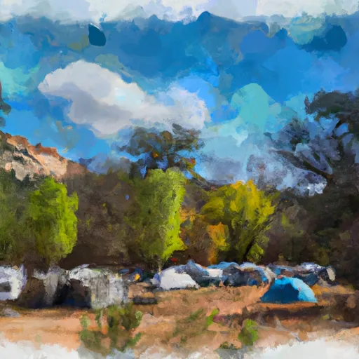 Barfoot Park Campground
|
||
 Rustler Park
|
