Arkansas Points of Interest

Collier Homestead Cistern


The Collier Homestead Cistern point of interest is a historical site located in the Ozark National Forest of Arkansas. This cistern was constructed in the early 1900s by the Collier family as a means to capture rainwater for their household needs.

One of the primary reasons to visit this point of interest is to experience an important piece of Arkansas's history. Visitors can see firsthand how early settlers relied on ingenuity and natural resources to survive in the region. Additionally, the cistern features an interpretive sign that provides context and historical information about the Collier family and their homestead.

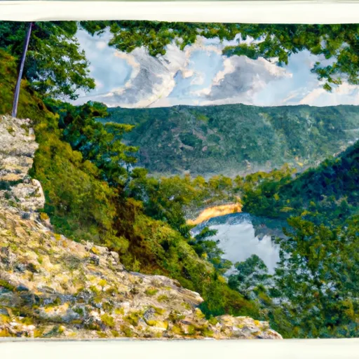
Another unique aspect of the Collier Homestead Cistern is its location within the Ozark National Forest. Visitors can enjoy a hike through the forest and take in the natural beauty of the area. The cistern is also located near other points of interest, including Blanchard Springs Caverns and the Sylamore Creek Trail.

Overall, the Collier Homestead Cistern point of interest offers visitors a chance to learn about Arkansas's history and appreciate the natural beauty of the Ozark National Forest. It is a must-see for those interested in history, nature, and outdoor recreation. Get driving directions.
COLLIER HOMESTEAD CISTERN

Points of Interest
Location
Brantley House Ruin
Buffalo Point Visitor Contact Station
Bundy House
Collier Homestead Barn
Collier Homestead Cistern
Collier Homestead House
Collier Homestead Smokehouse
Erbie Church
Hicks Hotel
Hicks Store
James A. Villines (Beaver Jim) Barn
James A. Villines (Beaver Jim) Chicken House
James A. Villines (Beaver Jim) Corn Crib
James A. Villines (Beaver Jim) Fruit Cellar
James A. Villines (Beaver Jim) House
James A. Villines (Beaver Jim) Smokehouse
James A. Villines (Beaver Jim) WPA Outhouse
Kastning House
Leatherwood Wilderness
Morning Star Mill Ruins
New White Eagle Mill Ruins
Old White Eagle Mill Ruins
Parker-Hickman Board Barn
Parker-Hickman Chicken House
Parker-Hickman Corn Crib
Parker-Hickman House
Parker-Hickman Log Barn
Parker-Hickman Machine Shed
Parker-Hickman Smokehouse
Parker-Hickman WPA Outhouse
Rabey House Ruins
Richland Creek Wilderness
Rush Ghost Town
Rush Smelter
Storekeeper's House
Taylor-Medley General Store
Tyler Bend Visitor Center
Upper Buffalo Wilderness Area
Warehouse Ruins
Washhouse
William Villines Corn Crib
William Villines Harness Shed
William Villines Log Barn/House

Nearby Camping
Location Campsites Reservations Toilets Showers Elevation
Lake Sylvia 27 704 ft
Sequoya Park 14 306 ft
Ozark Isle - Bull Shoals Lake Numerous 689 ft
Cherokee Numerous 277 ft
Highway 125 - Bull Shoals Lake Numerous 707 ft
Buck Creek - Bull Shoals Lake Numerous 724 ft
Point Remove Park 16 281 ft
Theodosia Numerous 691 ft
Versailles City Park Numerous 990 ft
Oakland - Bull Shoals Lake Numerous 722 ft
Bennett Spring State Park Numerous 880 ft
Tyler Bend - Buffalo National River Numerous 614 ft

Nearby Streamflow Levels

Gauge Streamflow
South Fork Dry Sac River Near Springfield
USGS 06918493
460 cfs
Bull Creek Near Walnut Shade
USGS 07053810
7,160 cfs
Bryant Creek Near Tecumseh
USGS 07058000
961 cfs
North Fork River Near Tecumseh
USGS 07057500
1,080 cfs
Beaver Creek At Bradleyville
USGS 07054080
15,800 cfs
James River At Galena
USGS 07052500
10,200 cfs
Roubidoux Creek Above Ft. Leonard Wood
USGS 06928300
784 cfs
Snotel Site Snowpack 24hr Change